Värmdö

Beste turstier i Värmdö

Naturkarten samler de turstiene i Värmdö som er mest populære blant våre brukere.

Kart

37 Beste turstier i Värmdö

Fotturer

Rundslinga genom Munkös skog

  • Kommune: Värmdö
  • 6874.11 km fra deg
  • 1.3 km

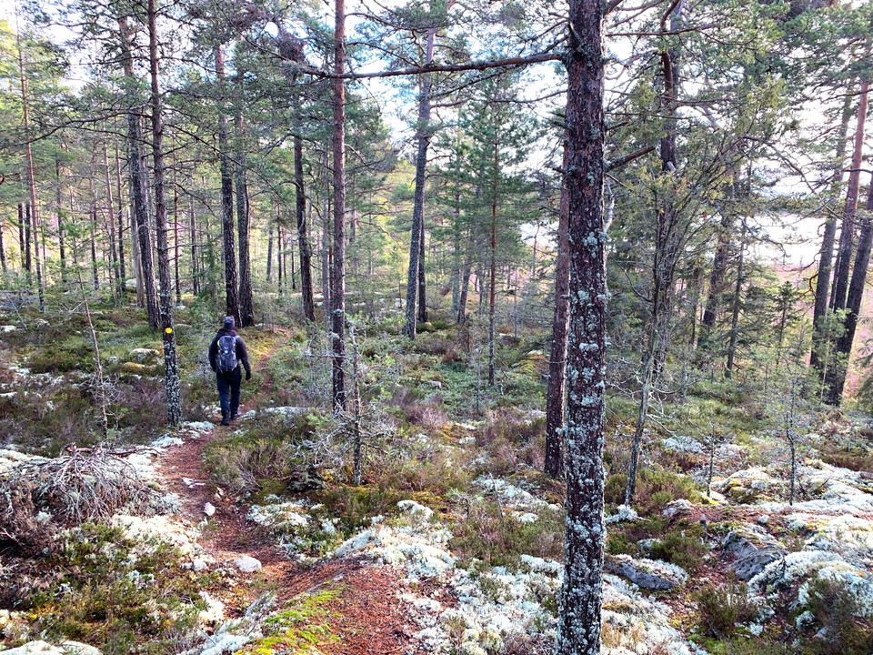
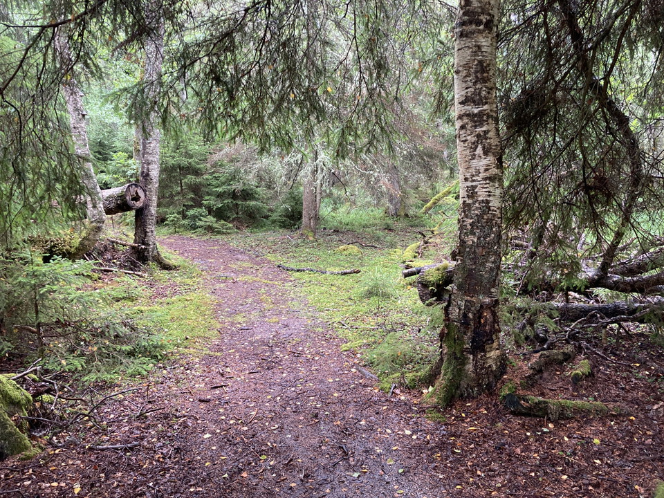
The circular trail through the forest of Munkö passes large aspens, yew and the Lady’s-slipper orchid Cypripedium calceolus. A short detour takes you to an area where you have a chance of spotting the very rare Scolitantides orion butterfly.

Fotturer

Vandringsstig, Biskopsö

  • Kommune: Värmdö
  • 6881.78 km fra deg
  • 1.9 km

On Biskopsön there are several well-trodden paths, including a circular loop that takes you from north to south through a varied landscape shaped by the grazing by fallow deer. Note that the trail has no waymarking or signposts.

Fotturer

Drommen runt

  • Kommune: Värmdö
  • 6881.81 km fra deg
  • 1.0 km

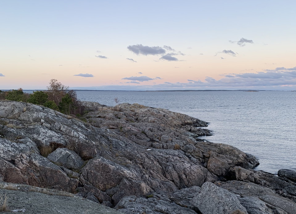
At the northernmost tip of Bullerö lies Drommen, an elongated headland with dramatic rock formations and breathtaking sea views. To the east, the horizon stretches wide and open; to the west, you can watch seabirds out on the skerries. This 1.1 km long and…

Fotturer

Rundslinga Gjusmossen runt, Långviksträsk

  • Kommune: Värmdö
  • 6863.08 km fra deg
  • 5.6 km

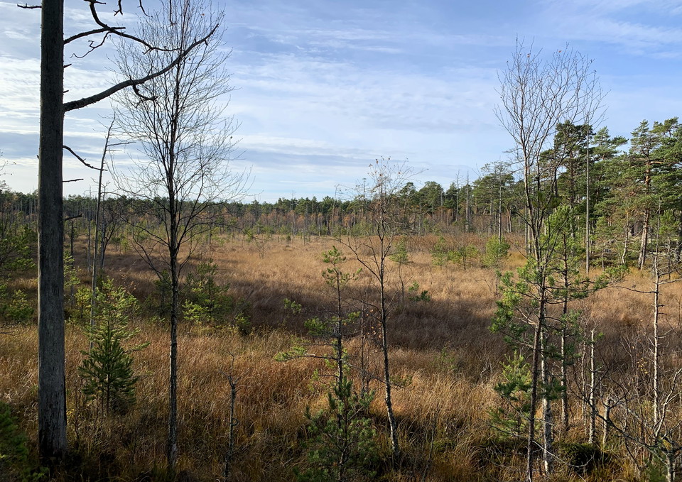
This circular trail is approximately 5,5 km long and leads through partly hilly terrain with a wonderful wilderness feeling! The walk takes you around the bog Gjusmossen. You will also get nice views of both Stormossen bog and Lake Långviksträsket. Make a d…

Fotturer

Stig till eldplats norr om Långviksträsk

  • Kommune: Värmdö
  • 6862.48 km fra deg
  • 1.2 km

This path takes you to the fire pit north of Lake Långviksträsk. Remember to bring your own firewood, or to pick up a few logs at the storage bin near the visitor parking lot.

Fotturer

Kostigen, blå vandringsled

  • Kommune: Värmdö
  • 6881.92 km fra deg
  • 1.5 km

The blue trail, known as Kostigen or the “Cow Path” runs 1.5 km between the village and Drommen’s fire pit area. It is the quickest and least hilly walking route between the southern and northern parts of Bullerö. The trail passes the campsite and the Ormbr…

Fotturer

Till Lotshamnen, grön led

  • Kommune: Värmdö
  • 6882.30 km fra deg
  • 0.3 km

The path between Lotshamnen and the village is marked with green trail signs. Along the way, you can take a detour to the sauna—just follow the signs.

Fotturer

Sydudden runt

  • Kommune: Värmdö
  • 6882.50 km fra deg
  • 1.4 km

This circular trail offers a true archipelago experience. The views over the sea, the outer archipelago, and the southern parts of Bullerön are magnificent. Enjoy the wind, the birds, and the wide open landscapes. The path climbs over smooth rock slabs and…

Fotturer

Brunos slinga

  • Kommune: Värmdö
  • 6882.32 km fra deg
  • 0.9 km

Brunos slinga is a short but hilly circular trail that offers a taste of many of Bullerö’s natural landscapes. Along the way, you’ll enjoy views of the sea, the farmland, and the village. The path winds through mixed forest and across open rocky outcrops—on…

Fotturer

Bullerö runt

  • Kommune: Värmdö
  • 6881.76 km fra deg
  • 3.0 km

The trail takes you around Bullerö island, largely following the coastline. Enjoy the varied landscapes along the way—watch bird migrations over the sea, listen for songbirds in the forest, and keep an eye out for seals, roe deer and moose. Take a break on…

Fotturer

Stig till Söderös topp

  • Kommune: Värmdö
  • 6883.46 km fra deg
  • 0.2 km

This trail of approx 200 m takes you to the top of Söderö island, which is also the highest point in the National Park. Follow the red waymarkers. The trail is short, but rather steep.

Fotturer

SAT Runmarö

  • Kommune: Värmdö
  • 18.7 km

Runmarö is the island that is so close to the mainland but makes you feel so far away as soon as you come ashore, the tranquility washes over you. The stage is long with various rewards along the way, 18.5 km of archipelago idyll. Gravel roads through open…

Fotturer

Långviksskär runt

  • Kommune: Värmdö
  • 6882.58 km fra deg
  • 3.2 km

The loop around Långviksskär offers a taste of many of the national park’s different habitats. It takes you across heather-covered rocky outcrops (keep an eye out for butterflies in summer!) and old hay meadows, and pass through wet woodland with hollow tre…

Fotturer

Svart led, Långviksskär

  • Kommune: Värmdö
  • 6883.12 km fra deg
  • 0.3 km

The black trails on Långviksskär are short connecting trails that run from the park entrance/rest cabin to the southern fireplace, and from the park entrance/rest cabin to Kronobryggan pier, where taxi boats can dock.

Beste turstier i Värmdö

Naturkarten samler de turstiene i Värmdö som er mest populære blant våre brukere.

Naturkartan

Åpne dette i appen