Östergötlands län

Inngang

Kart

207 Inngang

Inngang

Smedstorp, startplats

  • Kommune: Ydre
  • 6783.07 km fra deg

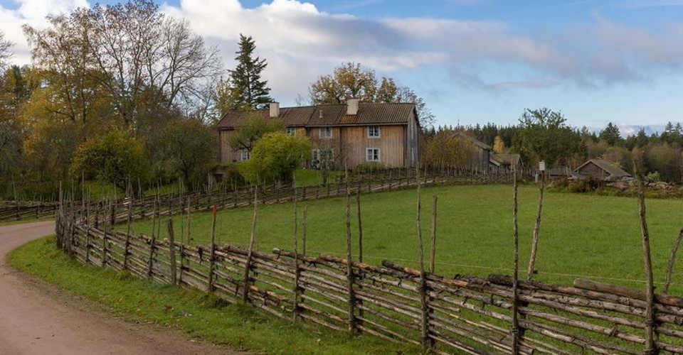
In the cultural reserve Smedstorp's double farm, both the houses and the landscape have retained their character since the 18th century. The farm's small, timber-grey buildings provide a vivid picture of peasant life during the era of self-sufficiency in Sw…
Inngang

Borghamn, startplats

  • Kommune: Vadstena
  • 6721.82 km fra deg

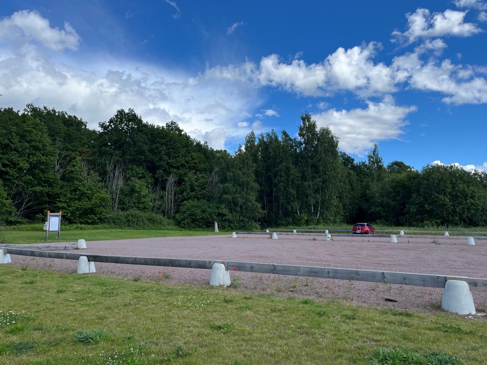
Borghamn is a good starting point if you want to walk towards Vadstena or over Omberg and on to Ödeshög, or perhaps even further. However, if you want to come back to Borghamn, you can walk around Omberg. Public transportation: There is no regular bus servi…

Inngang

Vifolkavallen, startplats

  • Kommune: Mjölby
  • 6748.42 km fra deg

At Vifolkavallen's sports ground in the urban area of Mjölby there are several different exercise facilities and exercise tracks. Here you can start your hike on Östgötaleden in any direction. Regardless of where you start your hike, the circular trail take…

Inngang

Ekudden, startplats

  • Kommune: Valdemarsvik
  • 6847.64 km fra deg

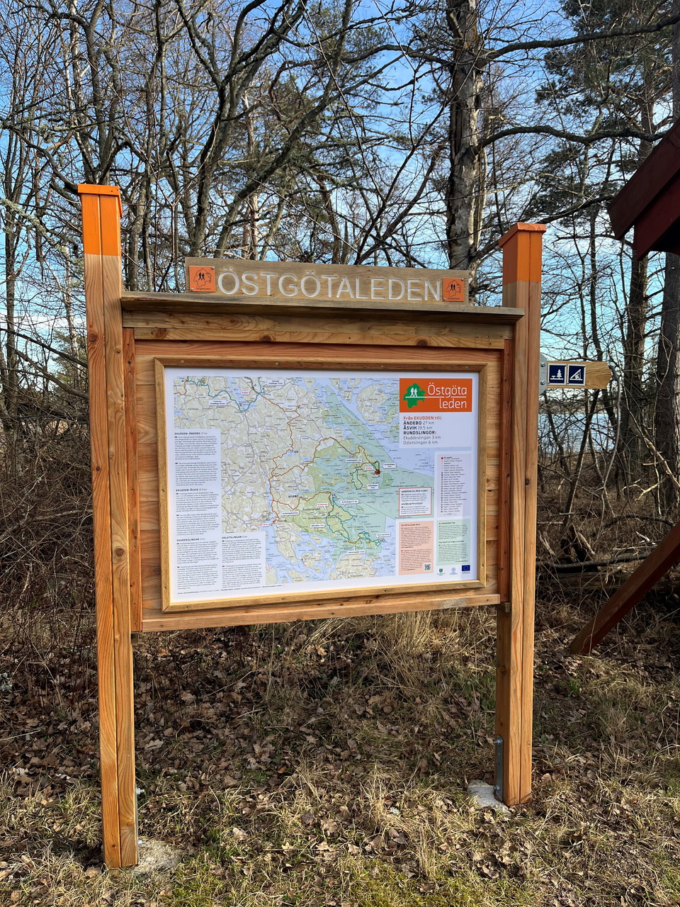
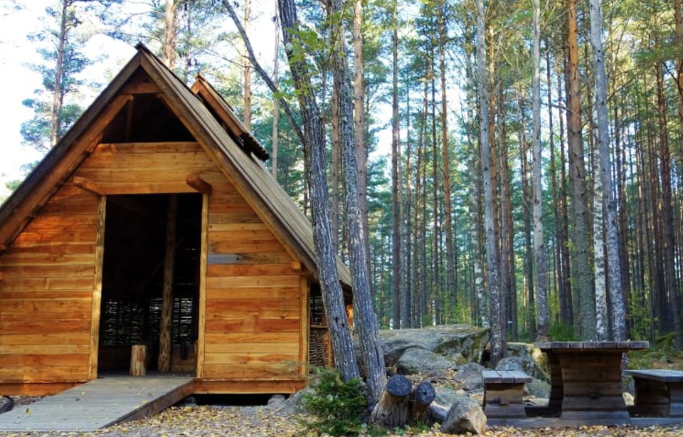
This starting point is located in the outer part of Kvädö Nature Reserve. Take the opportunity to enjoy the view of the open sea. The parking lot has space for about 20 cars and there are coffee tables, dry toilets and a garbage can. Nearby there is a shelt…

Inngang

Vårdnäs kyrka, startplats

  • Kommune: Linköping
  • 6780.91 km fra deg

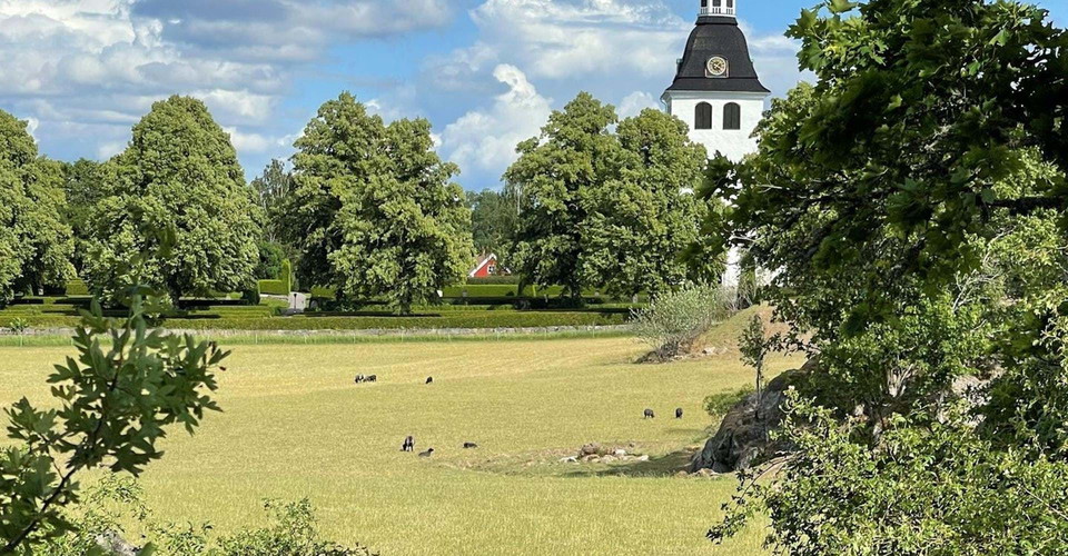
Vårdnäs church is beautifully situated about three miles south of Linköping. There is a large parking lot where you can park as a hiker. If you travel by public transport, the nearest bus stop is about 1km south of the starting point. Drinking water is avai…

Inngang

Rumma/Vadet, startplats

  • Kommune: Åtvidaberg
  • 6815.10 km fra deg

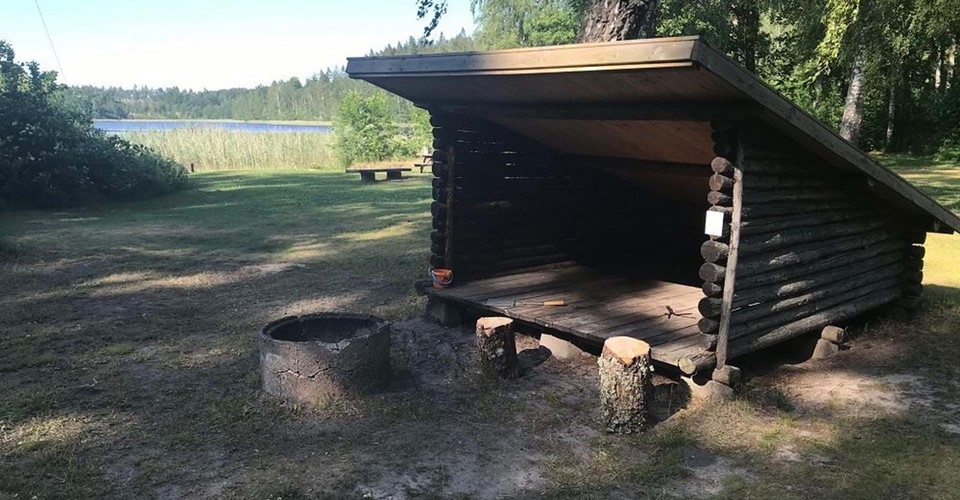
The starting point is located along the road between Rumma and Kvarnvik on the narrow isthmus between lakes Västersjön and Storsjön. On the north side towards Lake Västersjön there is a shelter, barbecue / fireplace, bench table, bathing area, dry toilet an…

Inngang

Fallingeberg, startplats

  • Kommune: Valdemarsvik
  • 6821.49 km fra deg

Vid startplatsen finns rastplats med grill och möjlighet till naturbad i Fallingebergssjön. I närheten, vid Fallingebergsviken, finns vindskydd med grillplats och torrdass. Östgötaledens anslutande etapper:

Inngang

Ändebo, startplats

  • Kommune: Valdemarsvik
  • 6835.83 km fra deg

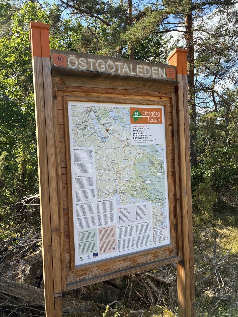
At Ändebo starting point there is parking with space for about 3 cars. There is also a picnic area with barbecue. In Ändebo, the Östgötaleden stages connect: From Tryserum you can also hike further north on the stage to Valdemarsvik or west towards Kyrksjön.

Inngang

Häradskär, startplats

  • Kommune: Valdemarsvik
  • 6851.13 km fra deg

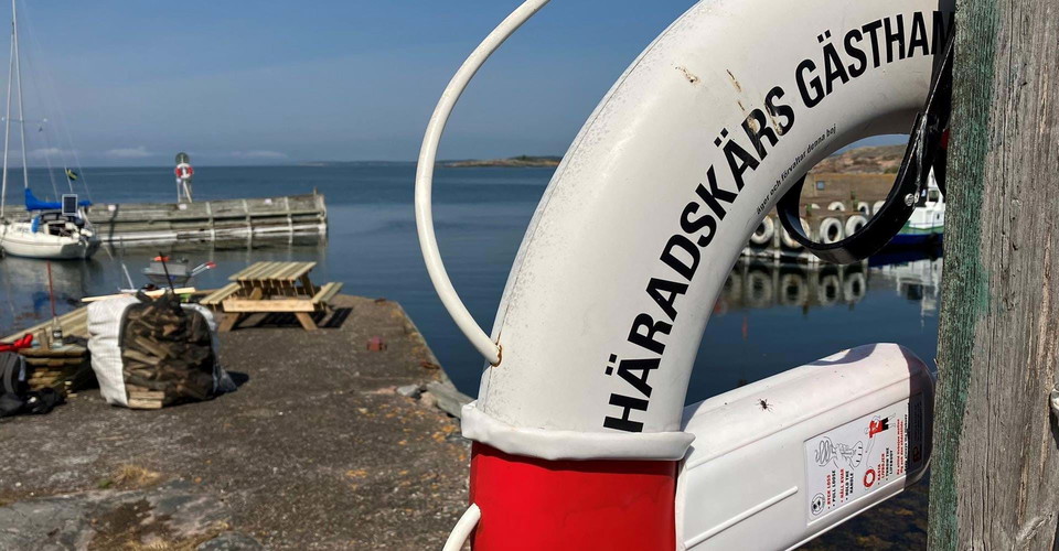
Welcome to Häradskär and a hike in the outer archipelago of Gryt. You can get here by your own boat or by boat taxi, read about different options here: Valdemarsvik municipality / Archipelago taxi and transportation Rooms are available for rent at the light…

Inngang

Falsnäset, startplats

  • Kommune: Finspång
  • 6766.84 km fra deg

Vid Falsnäset kan du kan du starta vandra norrut mot Rejmyre som bland annat är känt för sitt glasbruk, här finns affär, café och restaurang. Väljer du att gå söderut mot Sörsjön så kommer du till ett populärt friluftsområde. Här finns stor parkeringsplats…

Inngang

Trollegater, startplats

  • Kommune: Kinda
  • 6779.86 km fra deg

A medium-difficulty hike in beautiful forests with climbs up and down and beautiful views of Lake Järnlunden at Klevberget. The hike between Trollegater and Rimforsa is 13 kilometers long.

Inngang

Mormorsgruvan

  • Kommune: Åtvidaberg
  • 6793.36 km fra deg

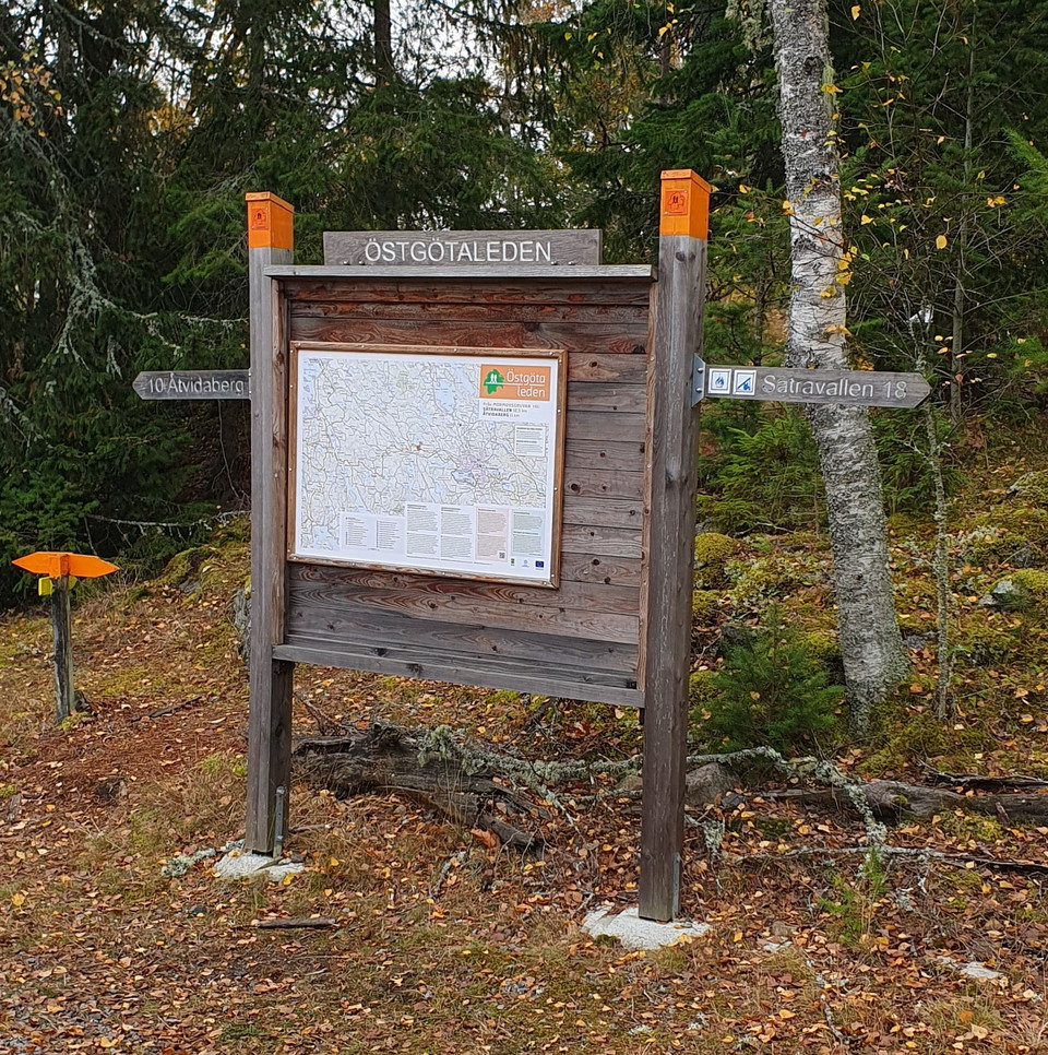
Starting point for your hike. 10km to Åtvidaberg, 18km to Sättravallen. Parking, toilet (summer time), benches are available on site.

Inngang

Bönnern, startplats

  • Kommune: Finspång
  • 6757.90 km fra deg

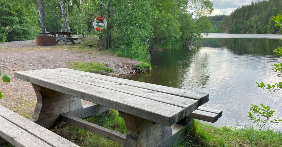
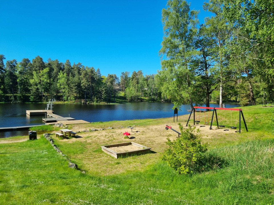
The starting point is located at Lake Bönnern. There is a bathing area, picnic area with table, fireplace, toilet and parking. The adjacent Bönnern Forest has high natural values, including older coniferous forest. Bönnernskogen also has one of the country'…

Inngang

Tjuttorp, startplats

  • Kommune: Finspång
  • 6757.60 km fra deg

Tjuttorp acts as a hub for the Östgötaleden trail. From here you can choose to walk northwest towards Regna or east towards Falsnäset and on to Rejmyre. From Falsnäset you can continue your hike towards Sörsjön in Norrköping municipality. If you choose the…

Naturkartan

Åpne dette i appen