
-
Kuva: Frida Björkelid -
Kuva: Frida Björkelid -
Kuva: Frida Björkelid
Koppsele
- Luonnonsuojelualue
- Ohje: Västerbottens län
Toiminnot
Kuvaus
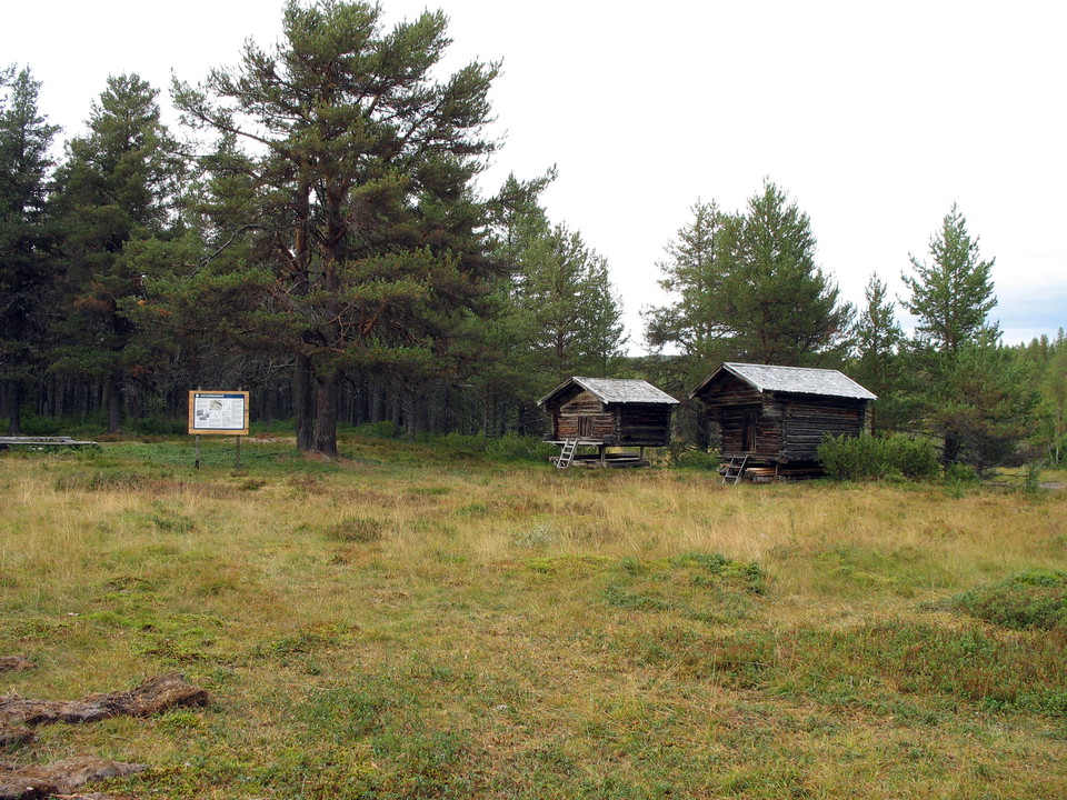
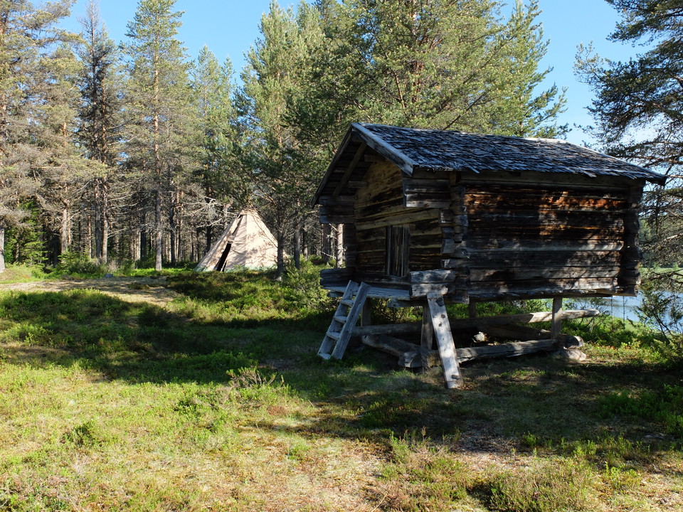
Koppsele is located by the river Malån and is one of Malås oldest Sami settlements. As far back as 1671, a "vistet" is mentioned on maps of the area. There is a fine old pine forest around the site. From the parking lot there is a 2 km long hiking trail to the show. On the site there is a hut and several other old Sami buildings that have been moved there in recent times.
Toimintaa ja tilat
- Luonnonsuojelualue
Reittiohjeet
Reservi on 15 km Malåsta luoteeseen. Bölevellanin tien päästä 2 km pitkä reitti kulkee reserville.
Ota yhteyttä
Sähköpostiosoite
Länsstyrelsen Västerbotten
Organisaation logotyyppi

Huomaa, että osa näistä teksteistä on käännetty automaattisesti.
Olen ollut täällä 3

Haluan mennä tänne 3
Kysymykset & vastaukset (Q&A)
Esitä kysymys muille Naturkartan-käyttäjille.
Arvostelut
0 arvostelut
- 5 :
- 4 :
- 3 :
- 2 :
- 1 :
Käyttäjien kuvat
Käyttäjien kuvia ei ole vielä. Ole ensimmäinen, joka jakaa kuvan!
