
Minioppaat

Emil Hellström
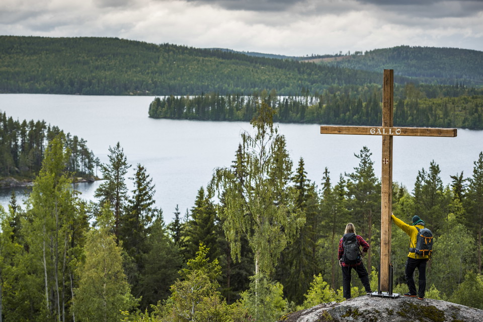
Borgsjö - Östersund, S:t Olavsleden
Through deep forests to the open fields of Storsjö, you pass Jämtland forests where robbers would once lay in wait. You pass grand wooden buildings by waters full of fish. Drink from the St Olav spring in Pilgrimstad and walk through the lush cultural lands…
Emil Hellström
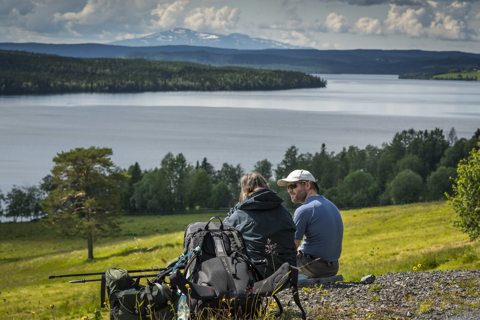
Östersund - Åre, S:t Olavsleden
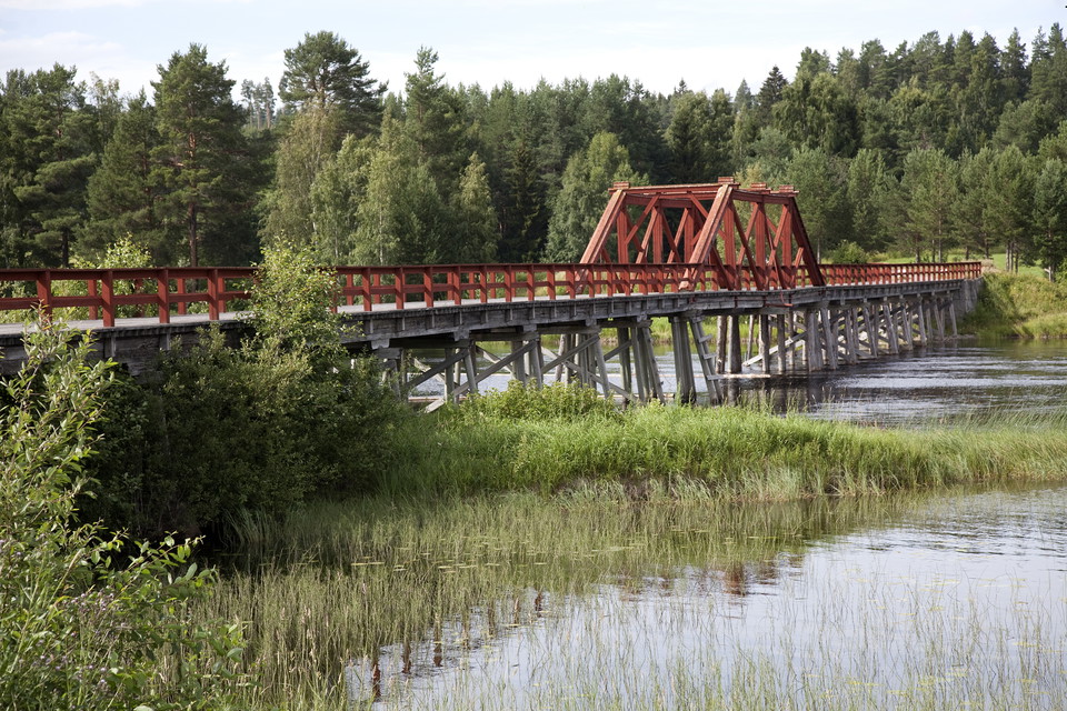
From Östersund the trail crosses the bridge to Frösön which is named after the Norse god Frö (Frej). From the meadows of Frösön, your journey continues towards the mountains and the land of the reindeer. Sami culture thrives in the mountains of Åre. You can…
Emil Hellström
Åre - Stiklestad, S:t Olavsleden
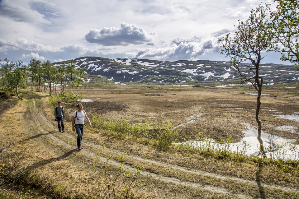
From the Indalsälven river valley you hike upwards on Skalstugevägen road with stone arch bridges, mountain views and reindeer pastures. The pilgrim trail leads into Norway and Stiklestad where Olav Haraldson died on 29 July 1030 in a field battle against t…
Emil Hellström
Selånger - Borgsjö, S:t Olavsleden
In the early summer of the year 1030, the Norwegian Viking king Olav Haraldsson came ashore at Selånger, which at the time was the great harbour bay of northern Sweden. He had been in exile for a few years and from here at the Gulf of Bothnia, he began his…
Tietoja S:t Olavsleden
S:t Olavsleden är världens nordligaste pilgrimsled. Leden är cirka 580 kilometer lång och sträcker sig från Bottenhavet i öster till Atlanten i väster, från Selånger i Sverige till Trondheim i Norge. Leden går genom skogar, över fjäll, längs sjöar, samhällen och historiska platser. Underlaget är en mix av skogsstig, grusväg och asfalt.
S:t Olavsleden är det skandinaviska svaret på El Camino de Santiago de Compostela, den berömda pilgrimsfärden till Spanien.
Yhteystiedot
