Naturstig i Medevi brunnspark
Vaellusreitit
- Kunta: Östergötlands län
- 6653.88 km päässä sinusta
Polun yksityiskohdat
- Pituus 3.1 km
Toiminnot
Kuvaus
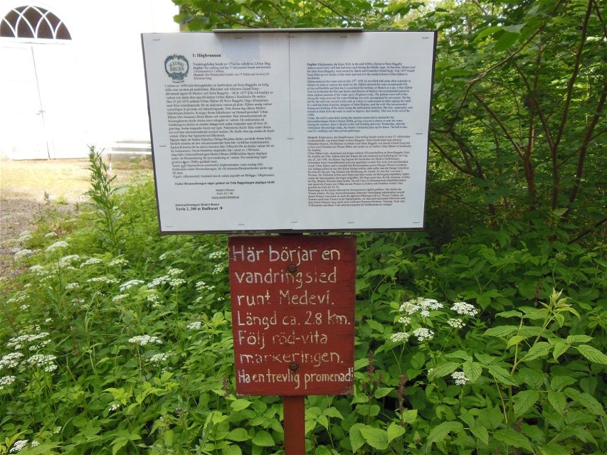
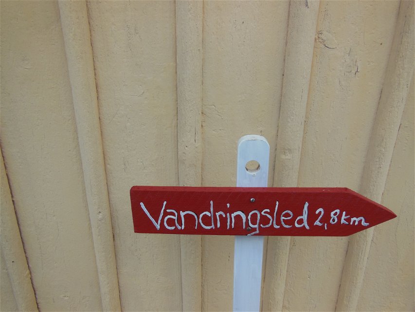
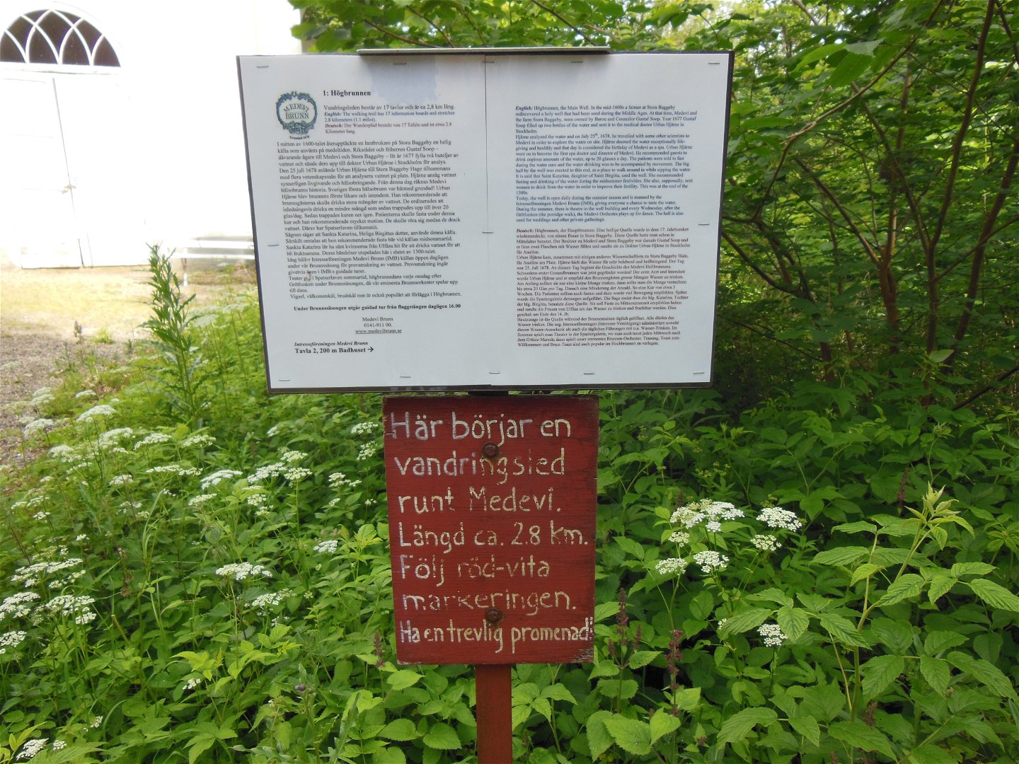
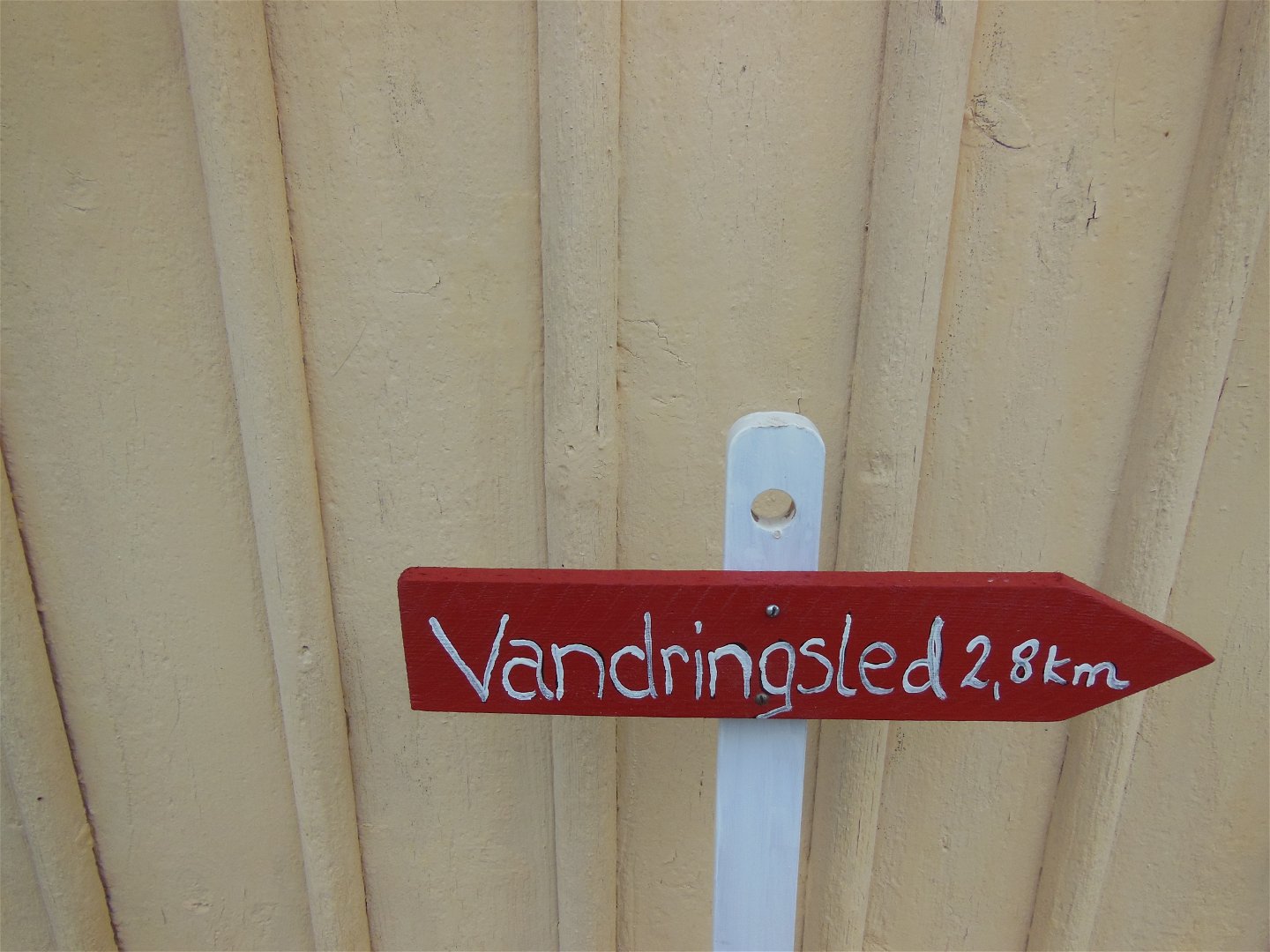
From the park, a 3 km long hiking trail starts south around a pebble ridge. The start takes place at Högbrunnen. The filtering ability of the pebble ridge has probably contributed to the good water quality of the acid well.
Toimintaa ja tilat
-
Vaellusreitit
Reittiohjeet
Turn from highway 50 where it says Medevi Brunn.
Ota yhteyttä
Osoite
Kontakta mig om du har frågor om Motalas Naturkarta.
Sähköpostiosoite
Hilda-Linn Berglund
Organisaation logotyyppi

Huomaa, että osa näistä teksteistä on käännetty automaattisesti.
Kysymykset & vastaukset (Q&A)
Esitä kysymys muille Naturkartan-käyttäjille.

