
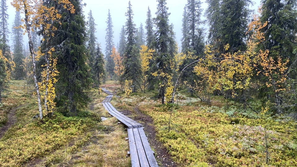
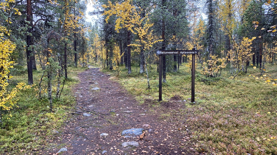
Vandringsstig Aptasvaaras topp, Aptasvare
- Vaellusreitit
- Kunta: Norrbottens län
- 6466.05 km päässä sinusta
Polun yksityiskohdat
- Pituus 6.6 km
Toiminnot
Kuvaus
A trail up to the top of the mountain Aptasvaara. When the weather is clear there is a nice view from the top towards Kiruna city and also towards the mountains. There are two trails back and forth to the parking spot. The eastern trail is three kilometres and the western trail is 3.6 kilometres (one way).
Toimintaa ja tilat
- Vaellusreitit
Yhteystiedot
Sähköpostiosoite
Länsstyrelsen Norrbotten
Organisaation logotyyppi

Olen ollut täällä 12



Haluan mennä tänne 21

Kysymykset & vastaukset (Q&A)
Esitä kysymys muille Naturkartan-käyttäjille.
Arvostelut
0 arvostelut
- 5 :
- 4 :
- 3 :
- 2 :
- 1 :
Käyttäjien kuvat
Käyttäjien kuvia ei ole vielä. Ole ensimmäinen, joka jakaa kuvan!
