Ståkke-Bårgå
Luonnonsuojelualue
- Kunta: Norrbottens län
- 7493.43 km päässä sinusta
Toiminnot
Kuvaus
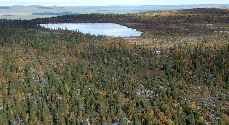
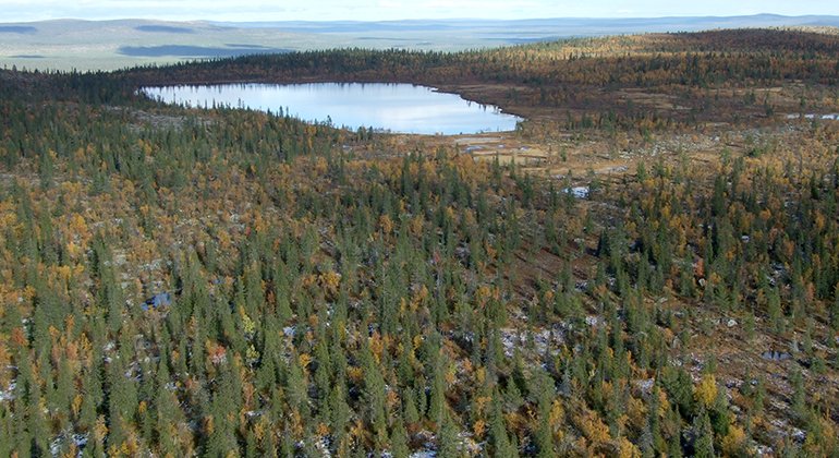
Ståkke-Bårgå old-growth mountain forest is very hilly and characterised by a mosaic of forests, mires and watercourses between low fells covered in mountain birch forest. More than half the area is covered by coniferous forest, above all virgin spruce forest. The highest summit, Bårgå, reaches 856 metres a s l. The nature reserve Ståkke-Bårgå old-growth mountain forest is 221 square kilometres in size.
Toimintaa ja tilat
-
Luonnonsuojelualue
Faktat
Municipality: Arjeplog
Year of formation: 2000
Size: 221 square kilometers
Administrator: County Administrative Board
Form of protection: Nature reserve, Natura 2000
Viestintä
Ståkke-Bårgå lies about 18 kilometres northwest of Arjeplog. The reserve is difficult to access but logging roads passed nearby. There is no entrance sign to the reserve.
Reittiohjeet
Ståkke-Bårgå is located about 18 kilometers northeast of Arjeplog. The reserve is difficult to access but forest roads run nearby. There is no entrance sign to the reserve.
Asetukset
All regulations can be found in the reserve decision. It is allowed to:
- hike
- camping
- make a fire
- picking berries and edible mushrooms
- driving snowmobiles on well-snow-covered ground
- fishing and hunting in accordance with applicable laws
It is not allowed to harm plant and animal life. Remember the right of public access and protect nature!
Ståkke-Bårgå fjällurskog consists of an older nature reserve and a domain reserve. The nature reserve has retained its regulations.
Ota yhteyttä
Sähköpostiosoite
Länsstyrelsen Norrbotten
Organisaation logotyyppi

Huomaa, että osa näistä teksteistä on käännetty automaattisesti.
Kysymykset & vastaukset (Q&A)
Esitä kysymys muille Naturkartan-käyttäjille.


