Rumpunen
Luonnonsuojelualue
- Kunta: Norrbottens län
- 7635.03 km päässä sinusta
Toiminnot
Kuvaus
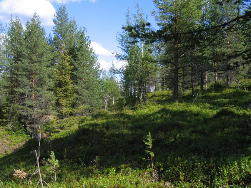
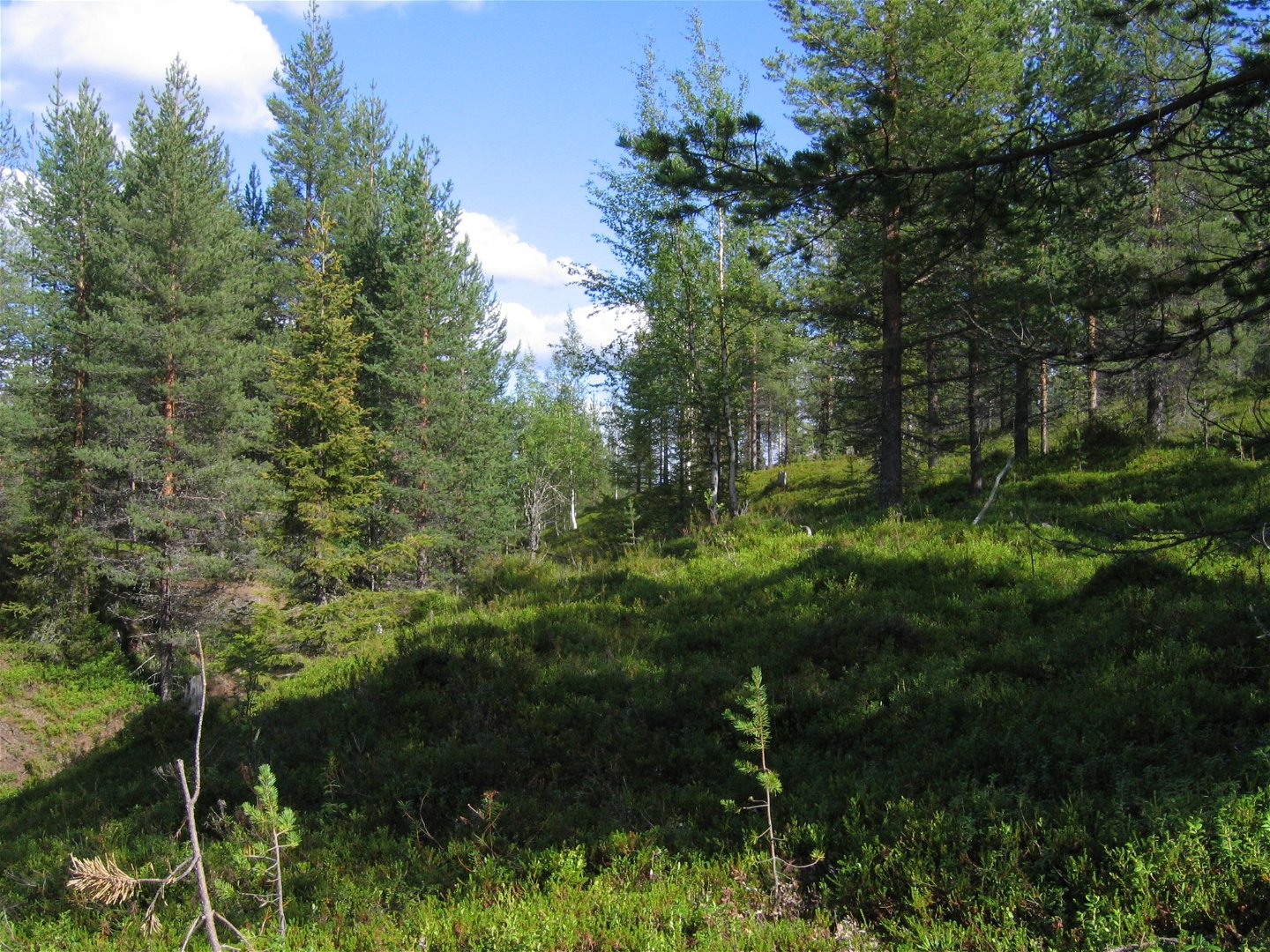
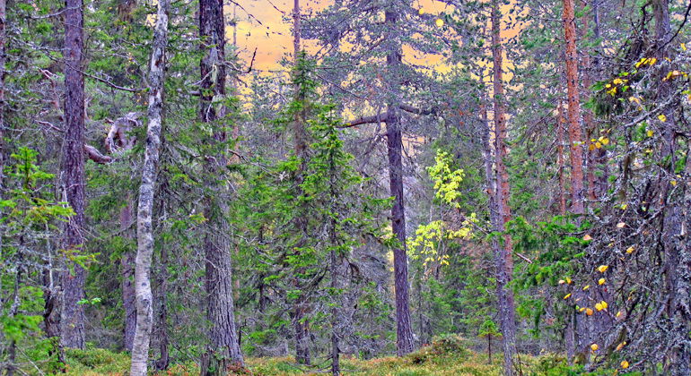
The area consists in the south of an impressive esker ridge surrounded by an impressive hilly landscape with ridges and a couple of small lakes. At the area’s northern limit, Lahnajoki stream flows, bordered by verdant spruce forest. Between the ridge and the stream it is mostly mire. The area is 1.8 square kilometres in size.
Toimintaa ja tilat
-
Luonnonsuojelualue
Faktat
Municipality: Pajala
Year of formation: 1997
Size: 1.8 square kilometers
Administrator: County Administrative Board
Form of protection: Nature reserve, Natura 2000
Viestintä
The reserve lies about 22 kilometres northwest of Lansjärv. Drive northwards from Jockfall, on the west side of the Kalix river. After about 15 kilometres, turn off westwards at Gustavsberg. Follow the road for about 9 kilometres, park and follow the little logging road to the reserve.
Reittiohjeet
The reserve is located about 22 kilometers northeast of Lansjärv. Drive north from Jockfall, on the west side of the Kalix River. After about 15 kilometers, in Gustavsberg, turn west. Follow the road for about 9 kilometers, park and follow the small forest road to the reserve.
Asetukset
All regulations can be found in the reserve decision. It is allowed to:
- camping
- hike
- make a fire, remember to bring your own wood!
- pick berries and edible mushrooms
- drive snowmobiles on snow-covered ground
- fish and hunt in accordance with the laws in force
It is not allowed to harm plant and animal life. Remember the right of public access and protect nature!
Ota yhteyttä
Sähköpostiosoite
Länsstyrelsen Norrbotten
Organisaation logotyyppi

Huomaa, että osa näistä teksteistä on käännetty automaattisesti.
Kysymykset & vastaukset (Q&A)
Esitä kysymys muille Naturkartan-käyttäjille.

