Mattisberget
Luonnonsuojelualue
- Kunta: Norrbottens län
- 7481.95 km päässä sinusta
Toiminnot
Kuvaus
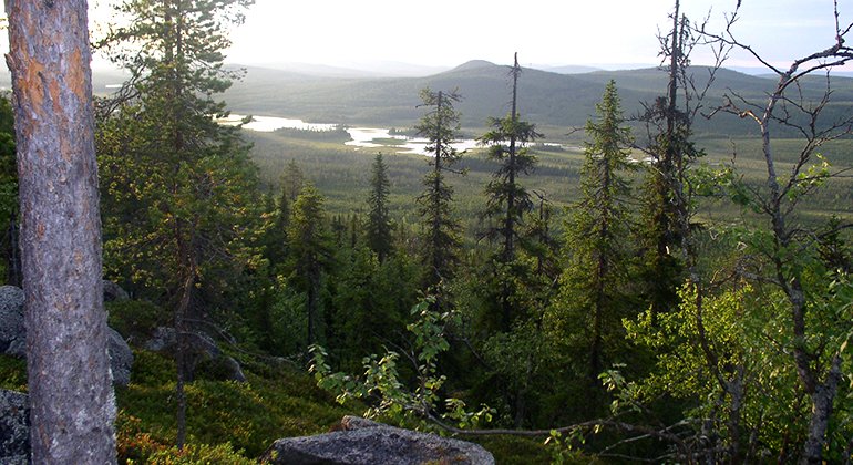
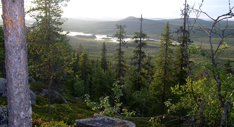
The nature reserve includes the summit of Mattisberget and the northeast slope, as well as the mire Mattismyran in the north. The slope is rocky with large boulders and a spruce forest rich in plants. On the summit there is barren, exposed bedrock with sparse pine forest. The area is 2.4 square kilometres in size.
Toimintaa ja tilat
-
Luonnonsuojelualue
Faktat
Municipality: Arvidsjaur
Year of formation: 2011
Size: 2.4 square kilometers
Administrator: County Administrative Board
Form of protection: Nature reserve
Viestintä
Along road 94, about 13 kilometres east of Lauker, turn off northwards towards Njallejaur. After 5 kilometres turn northwards onto a smaller road. After about 3 and 5 kilometres there are logging roads which lead eastwards, and they lead almost as far as the nature on the north and south side of Mattisberget.
Reittiohjeet
Along Highway 94, about 13 kilometers east of Lauker, turn north toward Njallejaur. After 5 kilometers turn north on a smaller road. After about 3 and 5 kilometers there are forest roads leading east and they lead to the vicinity of the nature reserve on the north and south side of Mattisberget.
Asetukset
Regulations All regulations can be found in the reserve decision. It is allowed to:
- camping - hiking - making a small fire - driving a snowmobile on snow-covered ground - picking berries and edible mushrooms - fishing and hunting in accordance with the laws in force
It is not allowed to litter or damage plant and animal life. Remember the right of public access and protect nature!
Ota yhteyttä
Sähköpostiosoite
Länsstyrelsen Norrbotten
Organisaation logotyyppi

Huomaa, että osa näistä teksteistä on käännetty automaattisesti.
Kysymykset & vastaukset (Q&A)
Esitä kysymys muille Naturkartan-käyttäjille.


