Kuvaus
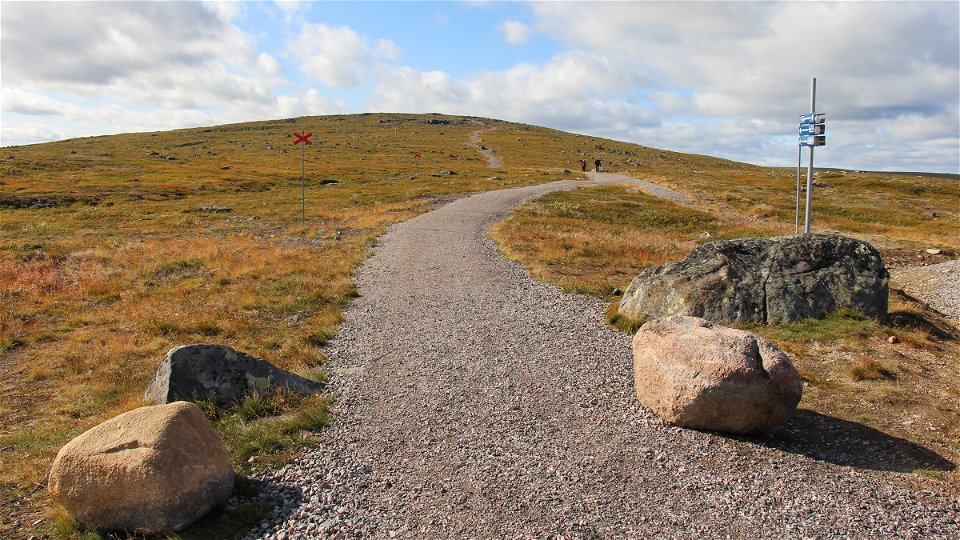
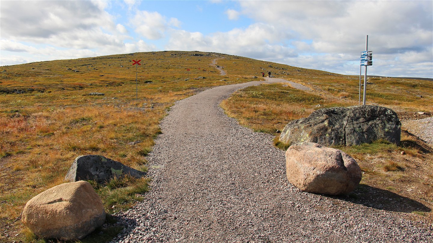
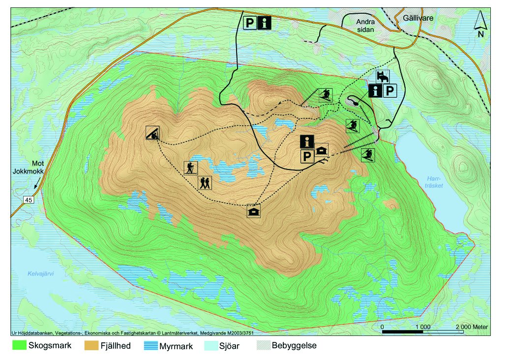
Just five kilometres from the main community of Gällivare the summit of Dundret rises to 820 metres a s l. Here you can experience the plants and wildlife of the bare mountain at the same time as you enjoy a fantastic panorama. There are hiking trails, ski tracks, snowmobile trails, wind shelters, latrines and stopover cabins. From the summit of Dundret, on a clear day you can see both Sarek and Kebnekaise. The midnight sun can be observed from Dundret between 5 June and 11 July. Parts of Dundret have been adapted for accessibility. There is a gravelled trail leading up to a cabin at the summit with a stopover site and latrine. The trail starts at a car park. The area is 5.2 square kilometres in size.
There are two ways in from the E45. Both are signposted towards Dundret. One road leads into the ski slopes and lift system. The other road is called andra the road kallas "femman road" and leads up to the car park near the summit. The Länstrafiken bus between Gällivare and Jokkmokk stops on road 45, north of Dundret.
Toimintaa ja tilat
-
Luonnonsuojelualue
Faktat
Municipality: Gällivare
Year of formation: 1970
Size: 52 square kilometers
Administrator: County Administrative Board
Form of protection: Nature reserve, Natura 2000
Pysäköinti
There is a car park down at the E45 and inside the nature reserve, not far from the TV mast on the summit.
Viestintä
There are two ways in from the E45. Both are signposted to Dundret. One road leads into the ski slopes and lift system. The other road is called "femman-vägten" (the five-road) and leads up to the car park near the summit. The Länstrafiken bus between Gällivare and Jokkmokk stops on road 45, north of Dundret.
Reittiohjeet
Dundret is located five kilometers southwest of Gällivare town. The mountain is visible from town. There are two roads in from the E45. Both are signposted towards Dundret. One road leads to the ski slopes and lift system. The other road is called "femman-vägen" and leads up to the parking lot closer to the top. For any public transportation to Dundret, contact Gällivare Tourist Information.
Asetukset
All regulations can be found in the reserve decision. It is permitted to camp, make fires, drive snowmobiles on marked trails when the ground is well covered with snow, pick berries and edible mushrooms and fish in accordance with applicable laws.
It is not permitted to damage nature or plant and animal life. Remember the right of public access and take care of nature!
Ota yhteyttä
Sähköpostiosoite
Länsstyrelsen Norrbotten
Organisaation logotyyppi

Huomaa, että osa näistä teksteistä on käännetty automaattisesti.
Kysymykset & vastaukset (Q&A)
Esitä kysymys muille Naturkartan-käyttäjille.

