SAIK-slingan
Juoksu
- Kunta: Kronobergs län
- 6463.86 km päässä sinusta
Polun yksityiskohdat
- Pituus 5.0 km
- Vaikeuksia Vihreä - yksinkertainen
Toiminnot
Kuvaus
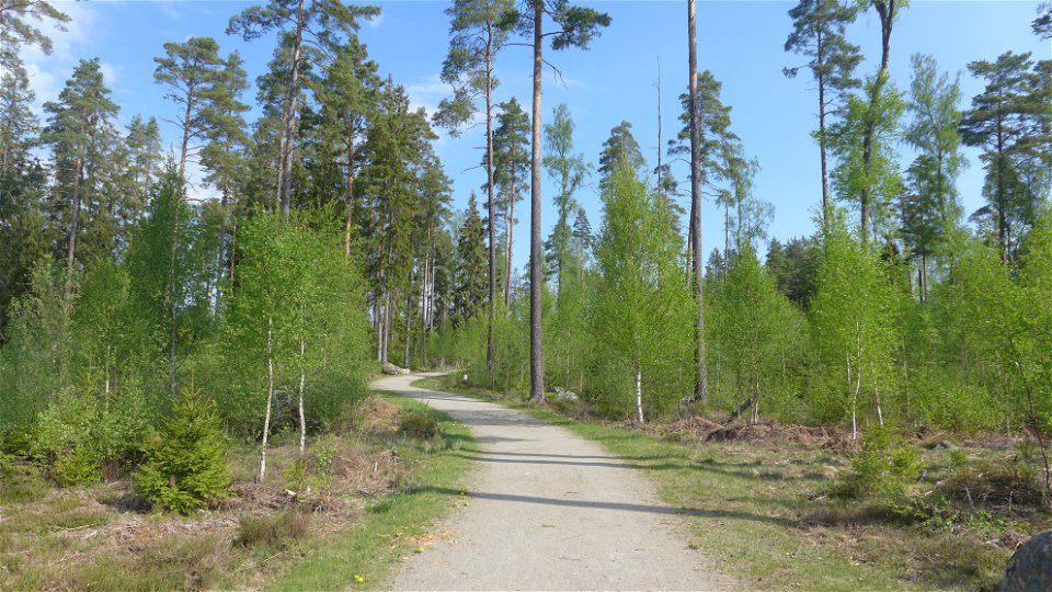
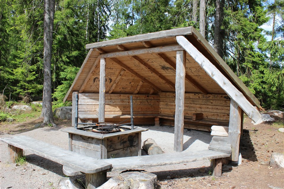
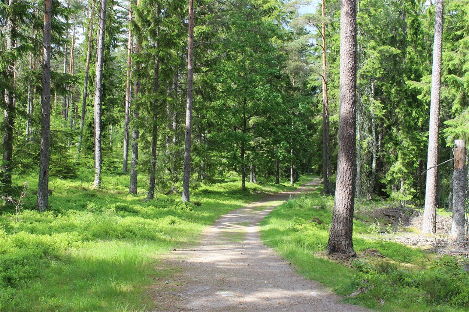
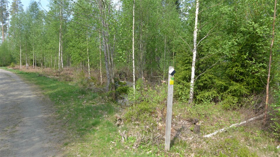
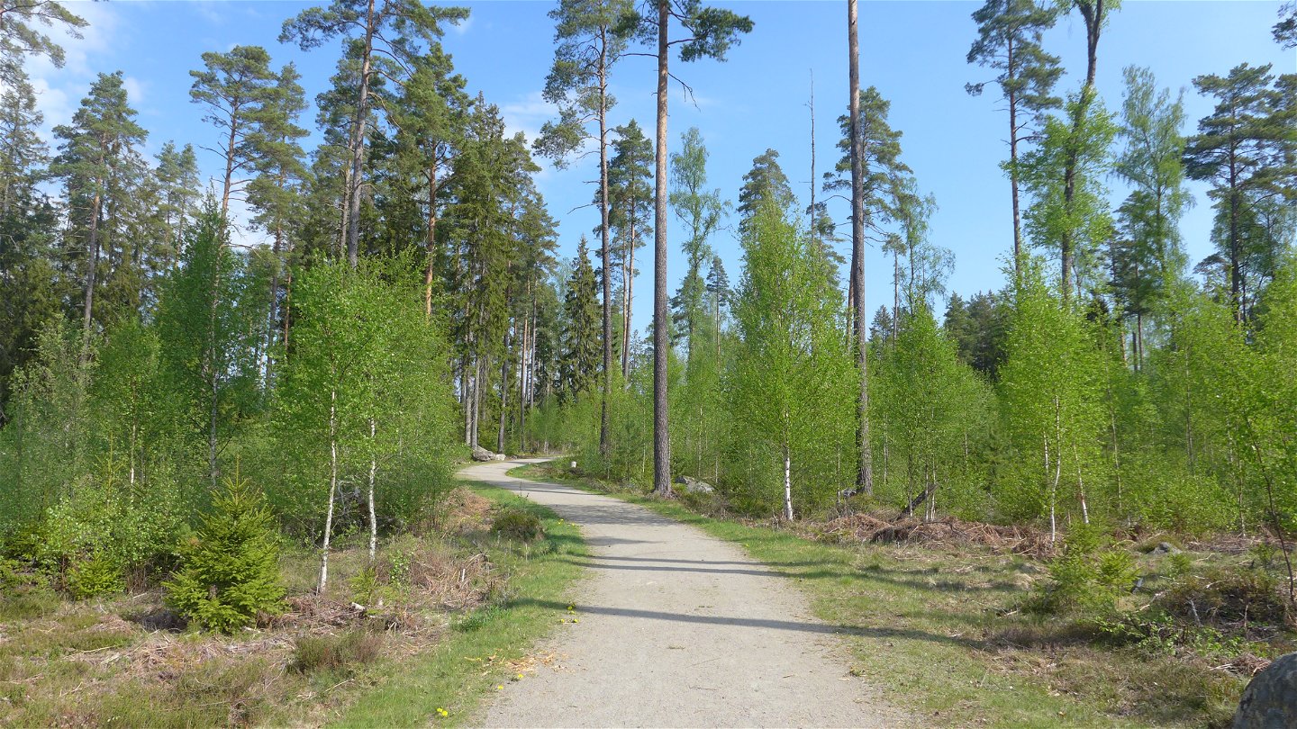
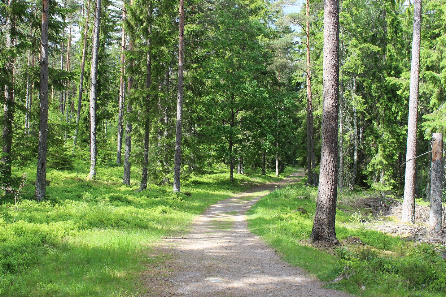
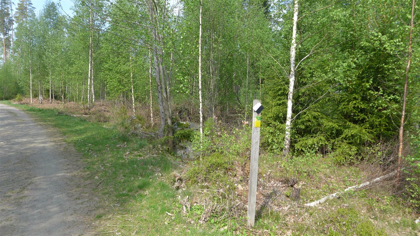
A five-kilometre long loop that takes you through the central sections of the Fylleryd nature reserve. The loop has a gravel base and is suitable for both runners and hikers. In the south-west part of the loop, the trail meets this loop Fylleryd’s illuminated trail. In general, you are required to use a head lamp once it starts getting dark.
Toimintaa ja tilat
-
Juoksu
-
Pitkämatkan hiihto
-
Kävely
Saavutettavuus
-
Lähellä pysäköintipaikkaa
Pinta
Gravel
Hills
Parts with slopes alternate with flat sections
Reittiohjeet
For motorists, directions from road 25 to VAIS-torpet, as well as from the Norremark junction in the north.
Ota yhteyttä
Osoite
Telefon 0470-410 00
Sähköpostiosoite
Kontaktcenter
Organisaation logotyyppi

Huomaa, että osa näistä teksteistä on käännetty automaattisesti.
Kysymykset & vastaukset (Q&A)
Esitä kysymys muille Naturkartan-käyttäjille.

