-

-
Fotograf Anna Gummesson -
Fotograf Anna Gummesson


Furutorpstigen i Bräkentorps friluftsområde
Vaellusreitit
- Kunta: Kronobergs län
- 6440.04 km päässä sinusta
Polun yksityiskohdat
- Pituus 1.6 km
Toiminnot
Kuvaus
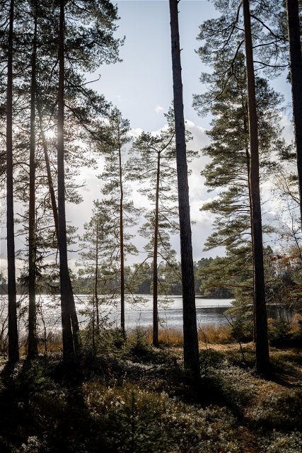
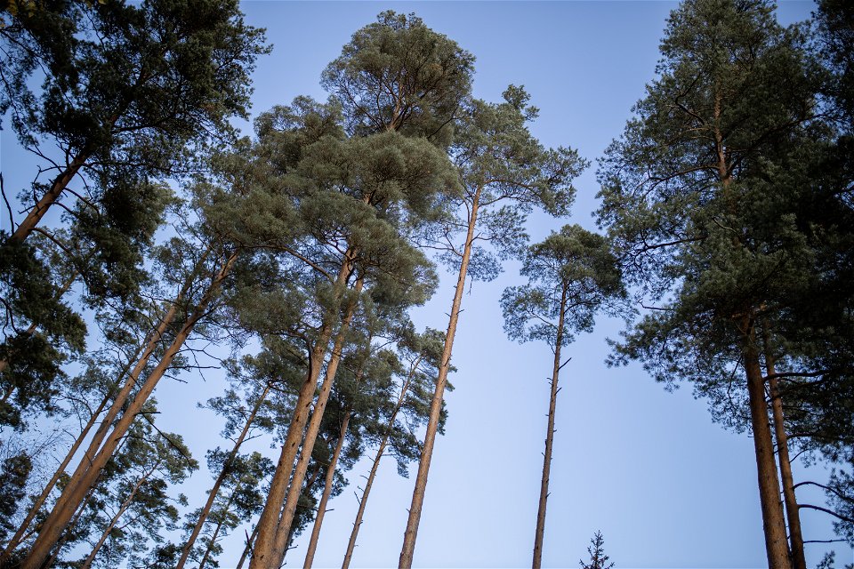
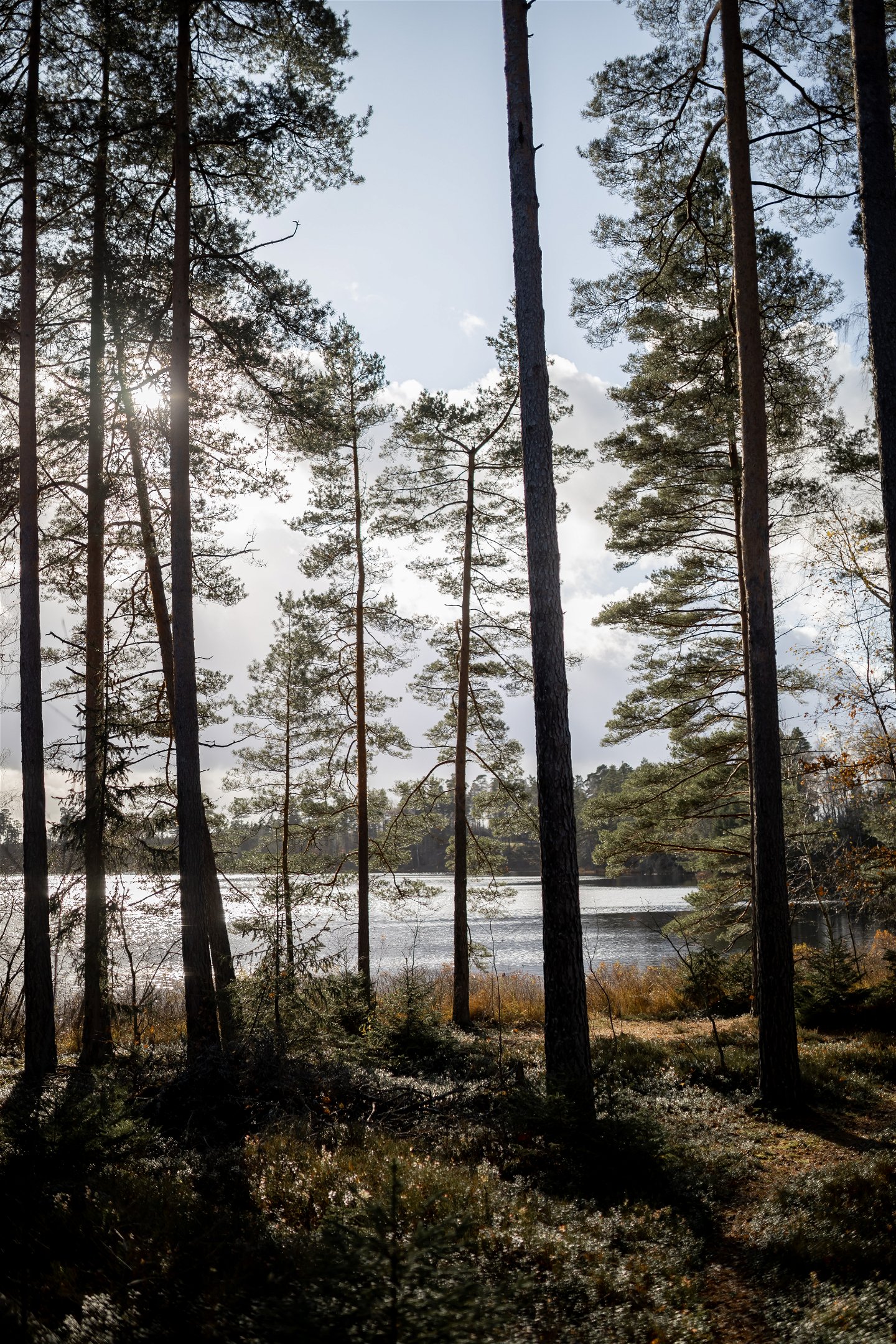
The nature reserve consists of three parts. The two southern parts form Vekaudden, which extends into the Lake Bräkentorpasjön. On the western side of the headland, the ridge meets the nutrient-poor lake from steep, pine-covered slopes, and on the eastern side it turns into flat sand fields and marshes. In the more humid parts, you walk long distances on winding ropes that take you around the entire Bräkentorpasjön.
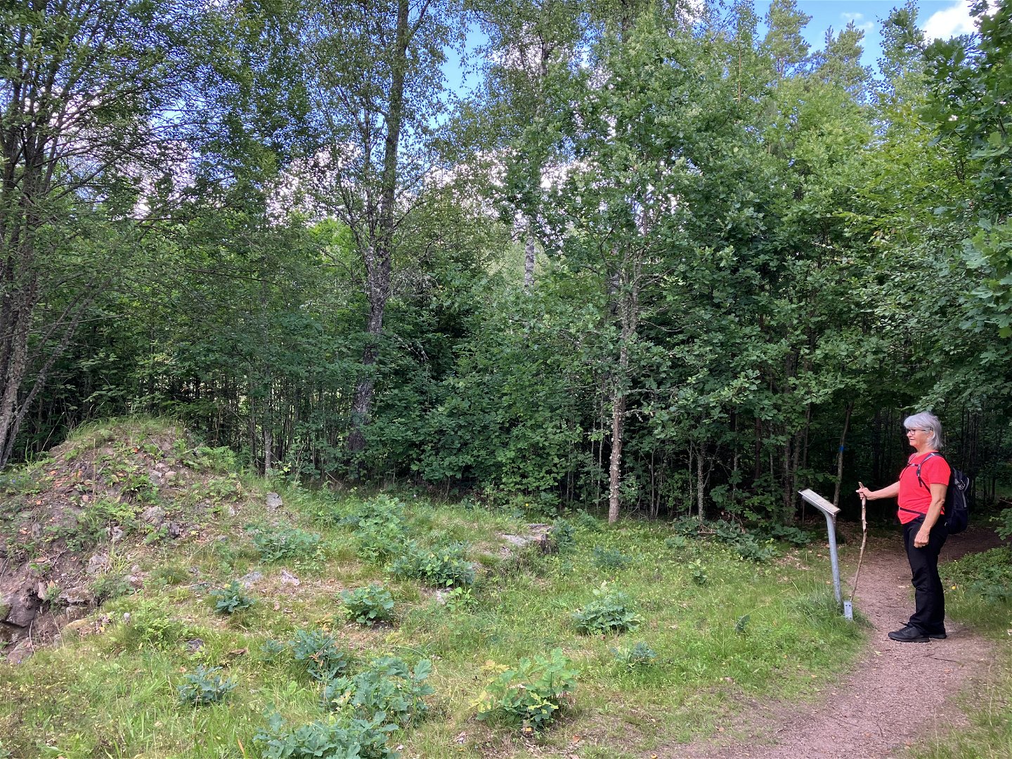
In several places you will find cultural-historical remains such as burial sites, rune stones and ruins from buildings with information signs about the time that has passed. At Finnstugan, there is a lighted path and FK Finn's various exercise loops also start from here.
The lake attracts, among other things, SUP and kayaking, as you can reach many of the rest areas and barbecue areas via the lake. Feel free to take the opportunity and take a dip at the swimming area.
Toimintaa ja tilat
-
Vaellusreitit
Ota yhteyttä
Sähköpostiosoite
Organisaation logotyyppi
![]()
Huomaa, että osa näistä teksteistä on käännetty automaattisesti.
Kysymykset & vastaukset (Q&A)
Esitä kysymys muille Naturkartan-käyttäjille.
