
Björbergshällan, led/naturstig
- Vaellusreitit
- Kunta: Dalarnas län
- 6602.34 km päässä sinusta
Polun yksityiskohdat
- Pituus 4.0 km
- Vaikeustaso Punainen - vaativa
Toiminnot
Kuvaus
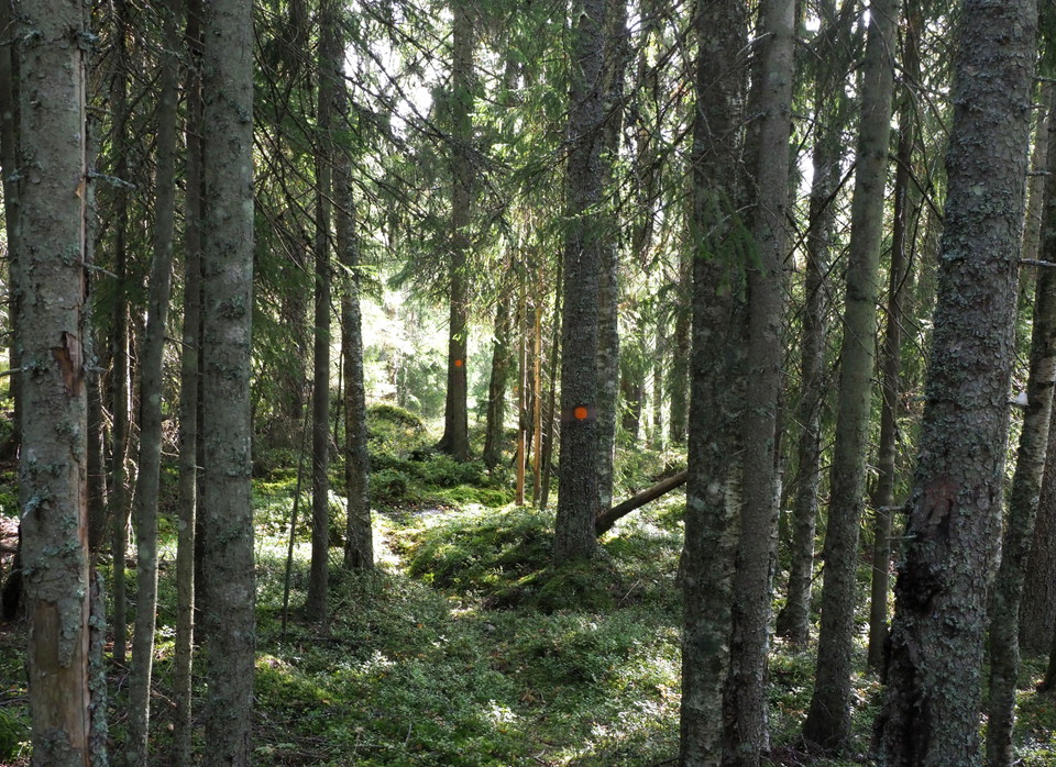
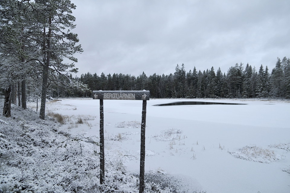
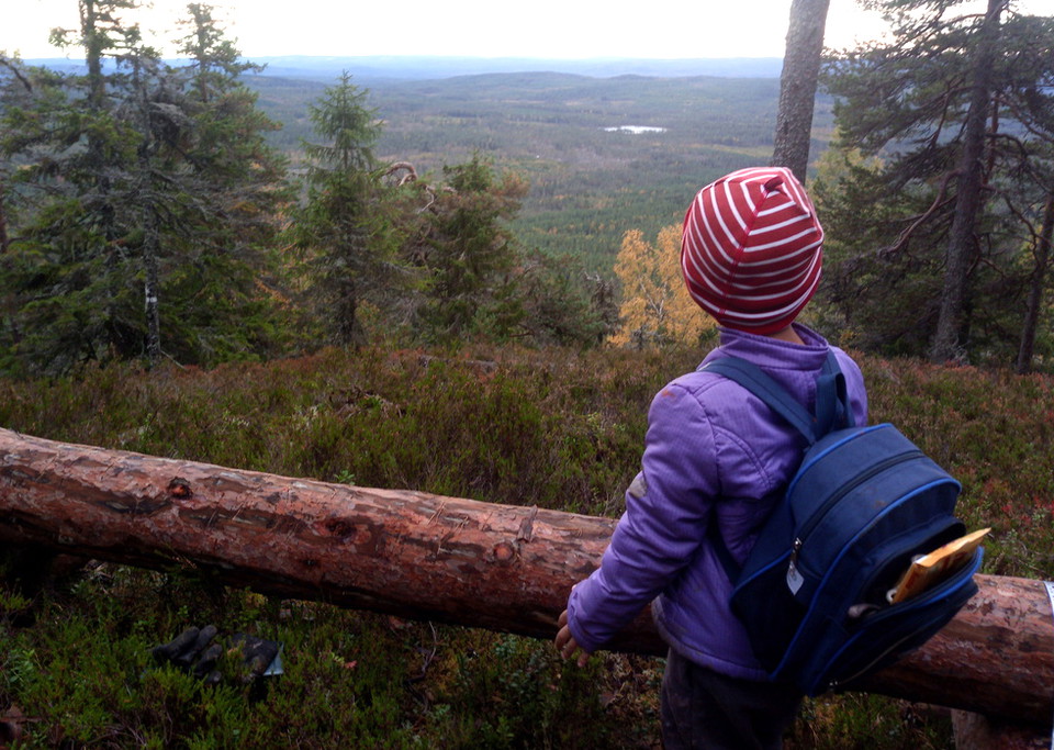
The nature trail that runs through parts of the reserve is newly marked and signposted in September 2021. From the turnaround / parking lot there is a steep uphill but it is worth the effort to get up into the reserve, which consists of old-growth forest, marsh and pond. On the slope below the highest point you have a view to the southeast.
Toimintaa ja tilat
- Vaellusreitit
Yhteystiedot
Osoite
Telefon: 0247-80000
Sähköpostiosoite
Kundtjänst
Organisaation logotyyppi

Olen ollut täällä 4




Haluan mennä tänne 8

Kysymykset & vastaukset (Q&A)
Esitä kysymys muille Naturkartan-käyttäjille.
Arvostelut
0 arvostelut
- 5 :
- 4 :
- 3 :
- 2 :
- 1 :
Käyttäjien kuvat
Käyttäjien kuvia ei ole vielä. Ole ensimmäinen, joka jakaa kuvan!
