Kleversbergen
Wandern
- Landkreis: Västra Götalands län
- 6622.55 km von Ihnen entfernt
Details zum Weg
- Länge 3.5 km
- Zeit 45 Min.
- Schwierigkeit Blau - mittel
Aktionen
Beschreibung
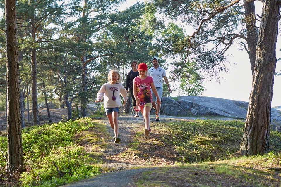
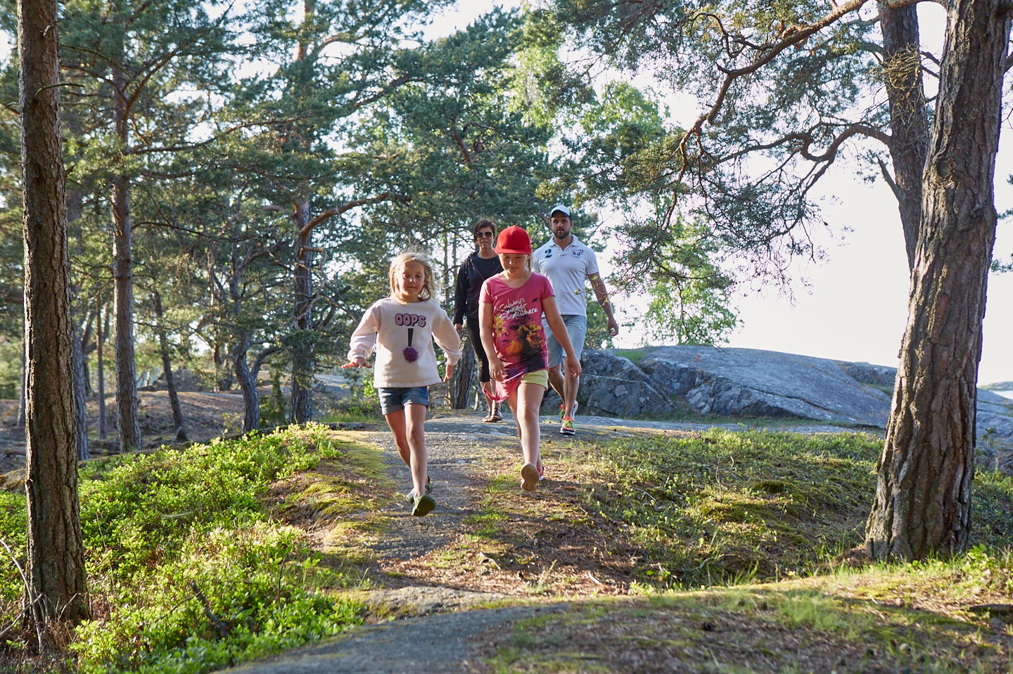
Hike this 3.5 km loop on Kållandsö. A fantastic view of the Fröfjord awaits at the highest point. Up on the mountainside there are also tables and benches to sit down and have a well-deserved coffee.
Kleversbergen runs through hilly terrain in the mountains that overlook Fröfjorden. Along the way you can find mushrooms, lingonberries and blueberries that you are welcome to pick. The path goes over a lot of roots and rocks in places so watch where you put your feet.
Aktivitäten und Einrichtungen
-
Wandern
Hügel
Kuperad stig, klippor och rötter.
Anleitung
Public transport: Västtrafik bus 132 Lidköping-Spiken, get off at the Otterstad stop. The trail starts right at the stop.
Car/Bike: Distance 2 miles from Lidköping. Drive towards Läckö and park at Otterstad church.
Kontakt
Adresse
En skärgård med tusentals öar, kobbar och skär. Ett bördigt kulturlandskap med fascinerande spår från medeltiden. Ett lokalt kök med genuina smakupplevelser. Romantiska hotellrum, personliga butiker och massor av möjligheter att cykla, paddla och vandra.
E-Mail-Adresse
Destination Läckö-Kinnekulle
Logotyp der Organisation

Bitte beachten Sie, dass einige dieser Texte automatisch übersetzt worden sind.
Fragen & Antworten
Stellen Sie eine Frage an andere Naturkartan-Nutzer.


