
-
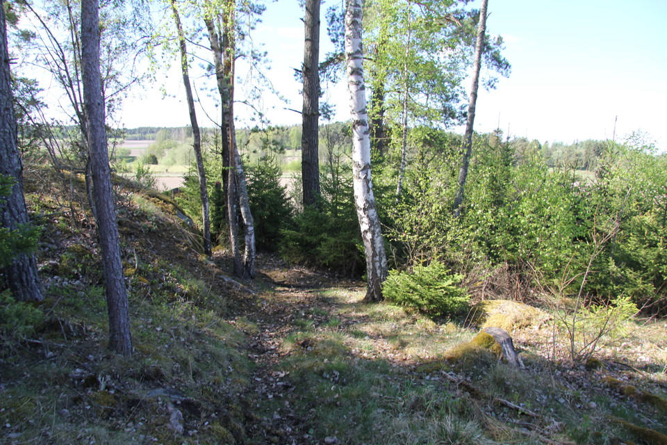
Foto: Ylva Granath -
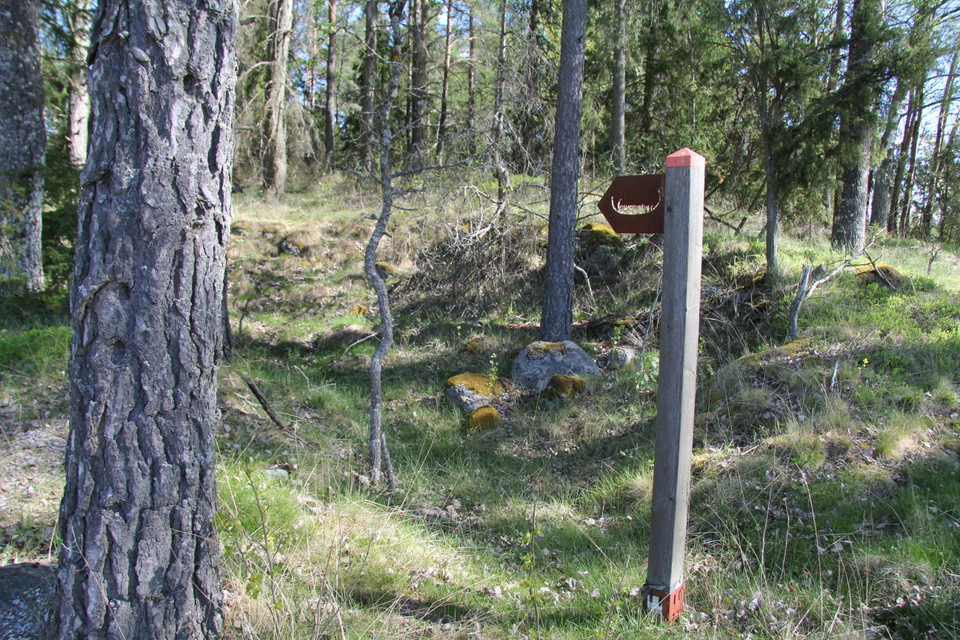
Foto: Ylva Granath -
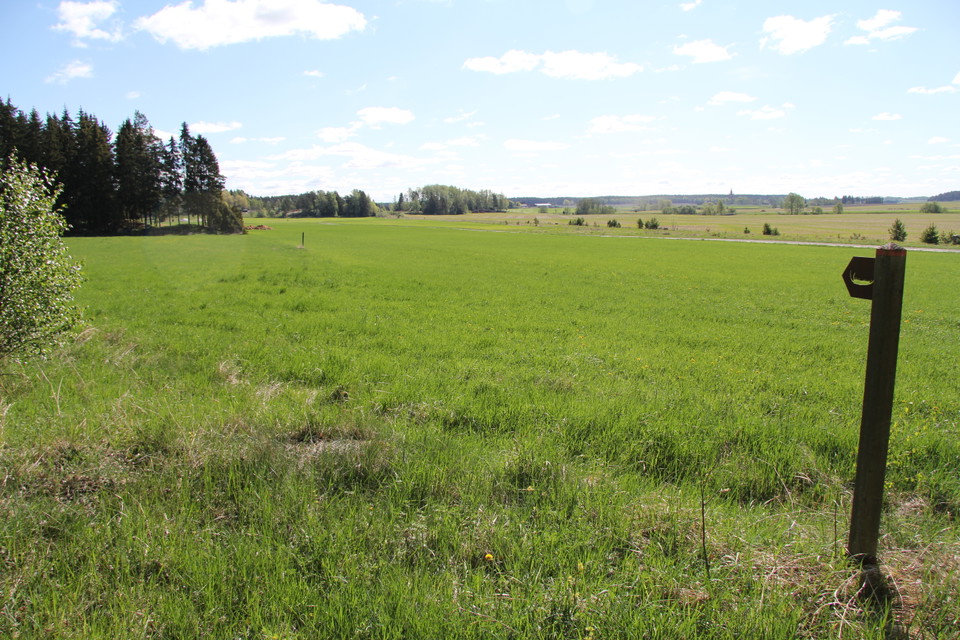
Foto: Ylva Granath -
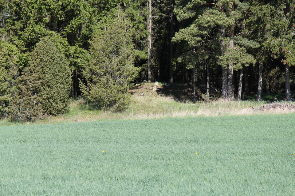
Foto: Ylva Granath
Stig, Översta
- Wandern
- Landkreis: Västmanlands län
- 6756.42 km von Ihnen entfernt
Details zum Weg
- Länge 0.2 km
Aktionen
Beschreibung
The path is about 250 m long and is marked in orange. If you follow the path through the forest, you will reach rocks with carvings. If you follow the path across the field you will come to a settlement from the Bronze Age. What is visible of the settlement today are three piles of sharp and brittle stone. The stones were heated and then placed in water to warm them, causing them to crack.
Aktivitäten und Einrichtungen
- Wandern
Kontakt
Adresse
Kontakta mig om du har frågor om Naturkartan Västmanland.
E-Mail-Adresse
Daniel Anundi
Logotyp der Organisation

Ich bin hier gewesen
Ich möchte hierher gehen 1

Fragen & Antworten
Stellen Sie eine Frage an andere Naturkartan-Nutzer.
Bewertungen
0 Rezensionen
- 5 :
- 4 :
- 3 :
- 2 :
- 1 :
Bilder von Nutzern
Es gibt noch keine Nutzerbilder. Sei der Erste, der eines hochlädt!
