-

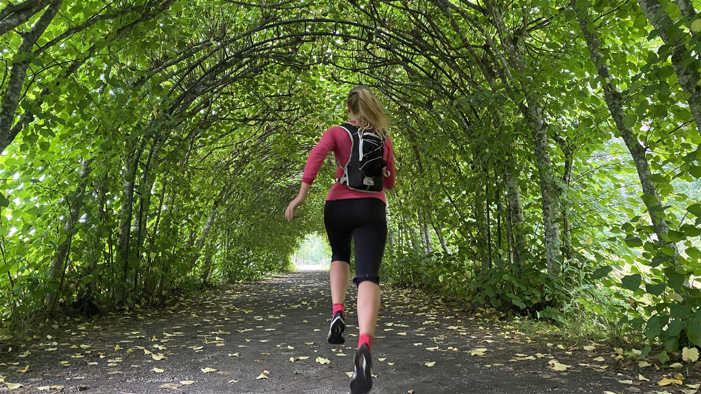
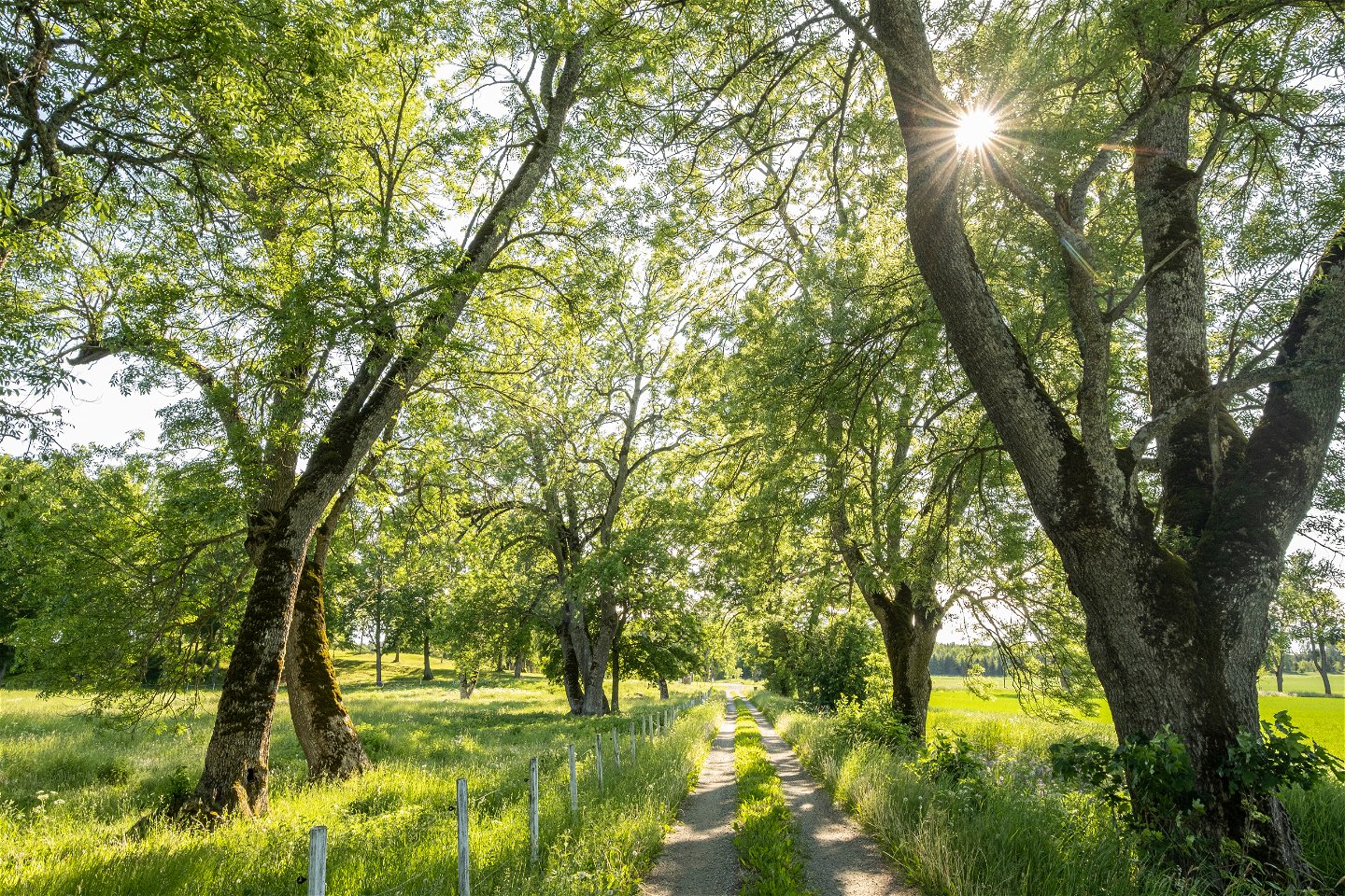
Spring eller vandra Ängsö runt -

Foto: Per Groth -
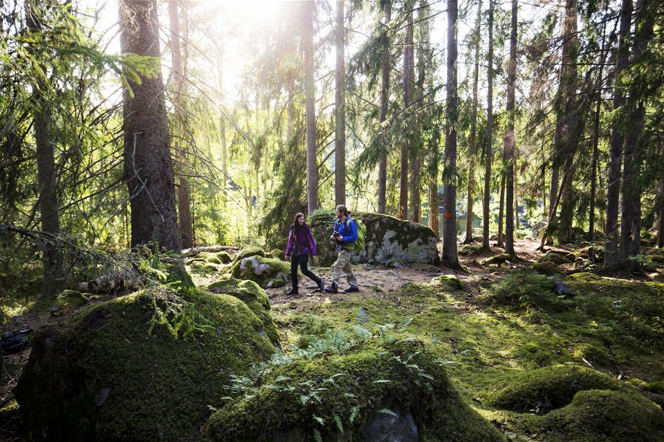
Foto: Roger Borgelid -

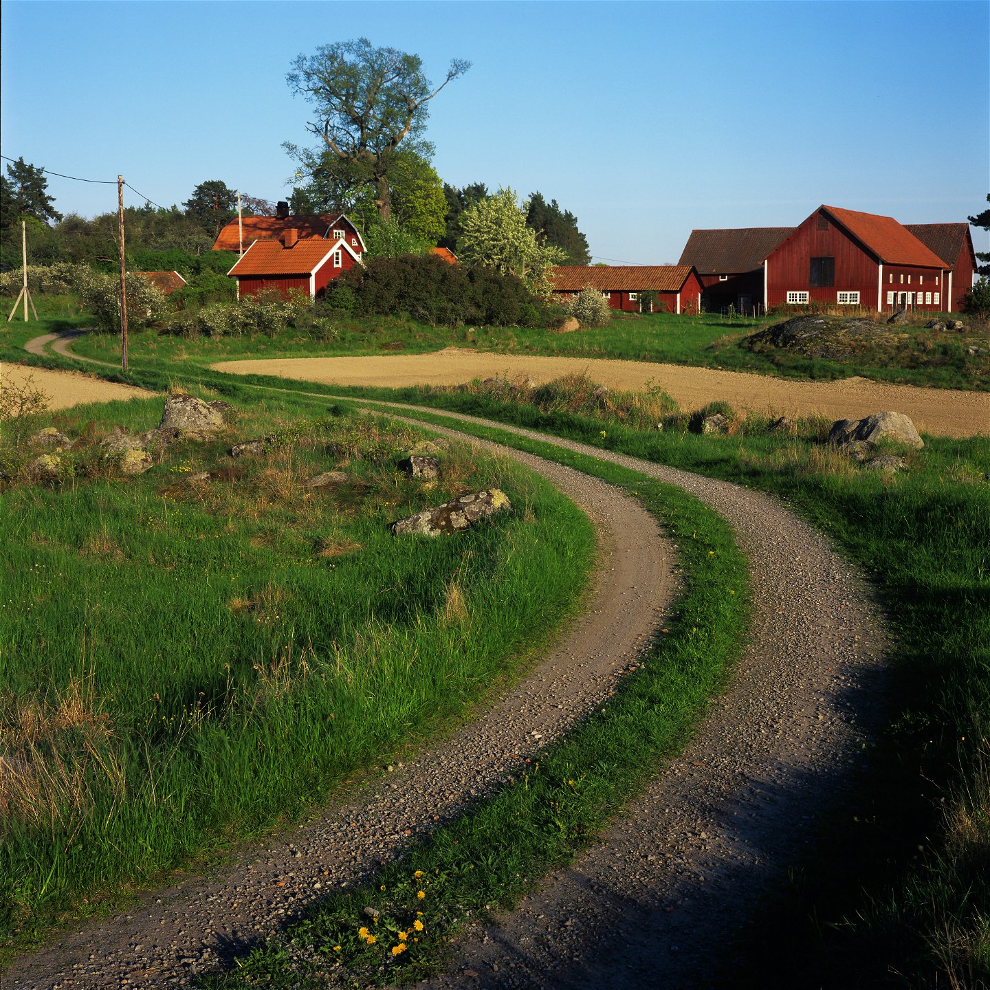
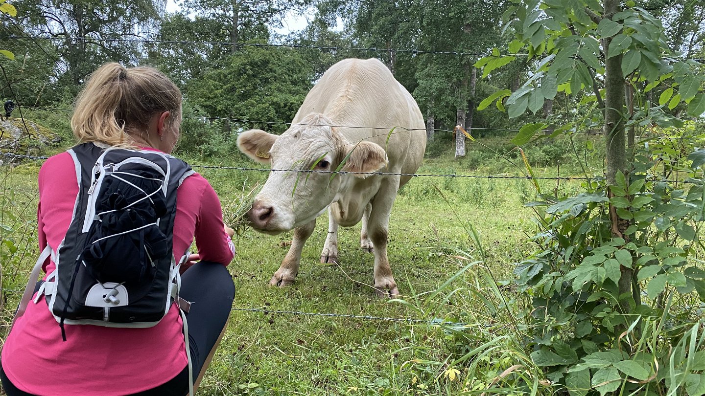
Vackra torp och gårdsmiljöer -

Foto: Roger Borgelid -
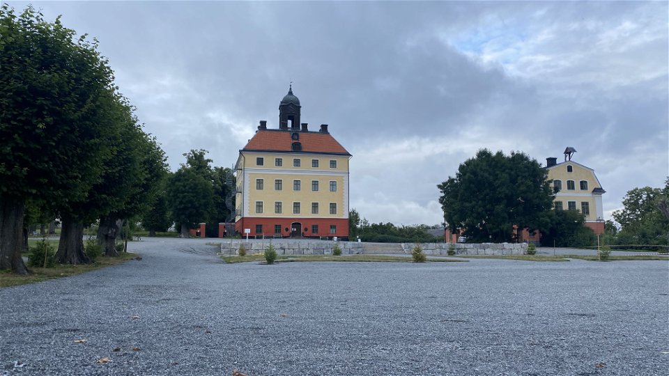
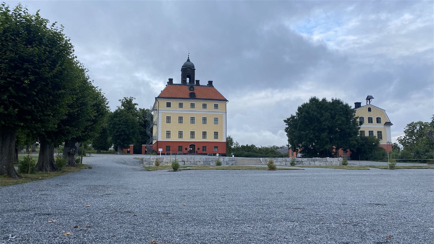
Ängsöslott -

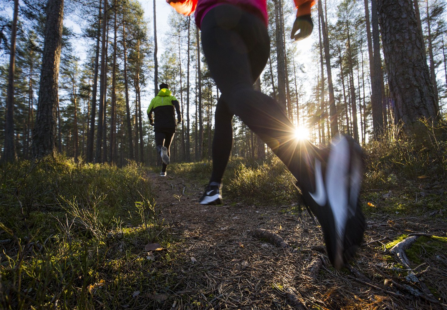
Möts av hungriga vänner -

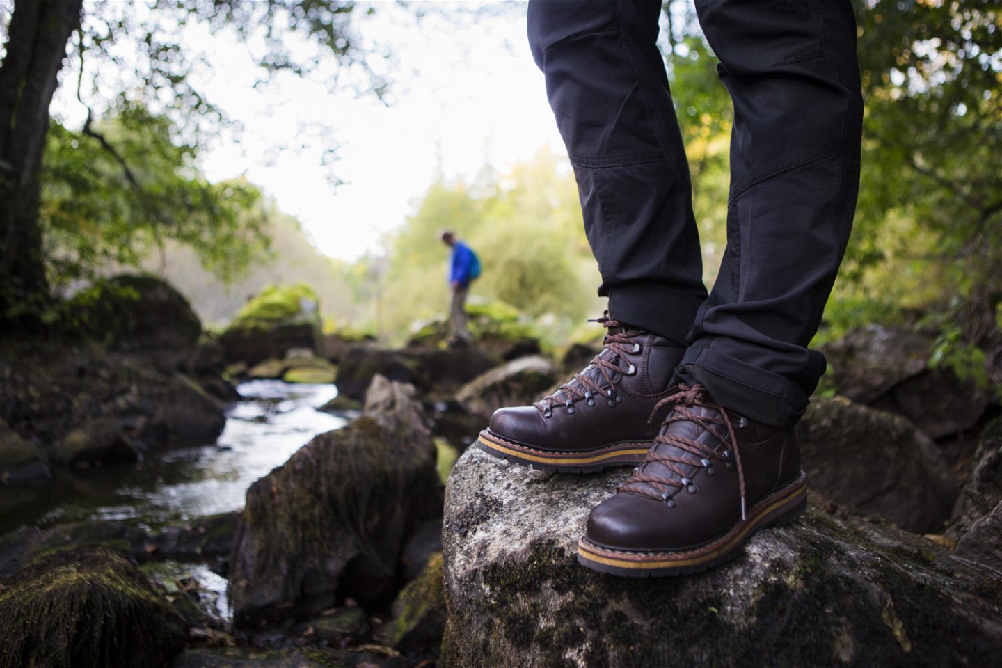
Naturliga skogsstigar -
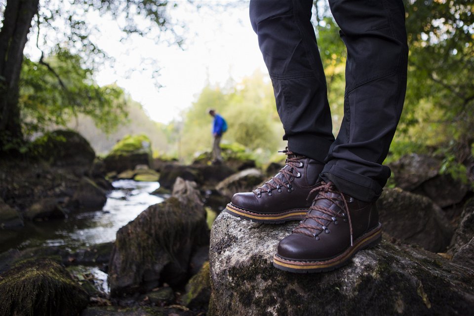
Foto: Roger Borgelid -
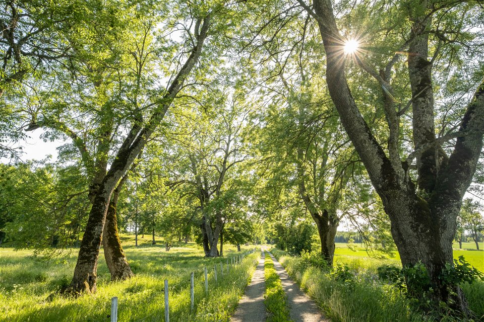
Foto: Bob Luijks


Västerås - Ängsö runt
Wandern
- Landkreis: Trails of Västmanland
- 6777.16 km von Ihnen entfernt
Details zum Weg
- Länge 23.0 km
- Zeit 8 Std.
Aktionen
Beschreibung
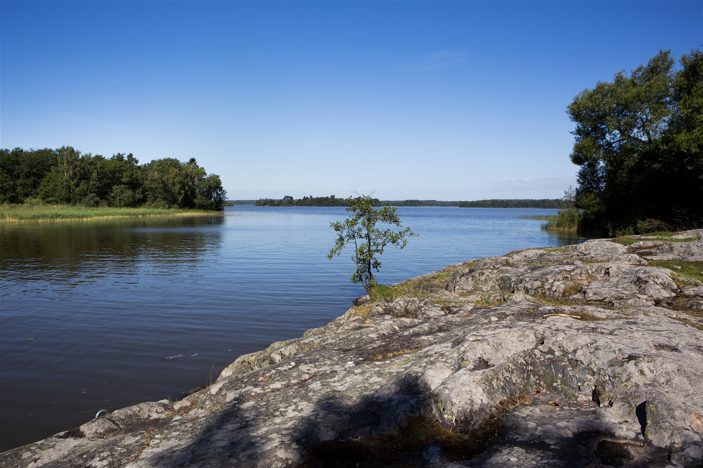
There are many beautiful trails to hike at the Ängsö outdoor recreation area on Ängsö island. The trails start at the parking lot and can be walked in any direction and to any extent. Several of the trails connect to allow for longer treks. If you walk the Ängsö's trails in the outermost ring, you'll hike a loop around Ängsö island. The trail loop around Ängsö island is 23 really beautiful km that show the very best of the island. A full day of hiking will bring you to scenes of nature, lakeside cliffs, a mix of forests, beautiful pastures, and idyllic crofts.
The trails on Ängsö are well marked with orange markers on trees and poles. There are signs where the different paths intersect that tell you which route is going in which direction. Since the trail loop around Ängsö is a combination of several shorter trails, there is no specific signage for it. Therefore, it’s recommended that you download Naturkartan’s app and use the GPS function on the map to navigate the trails.
The trail loop around Ängsö island mainly follows natural forest paths with flat terrain. It’ll take about 8 hours to walk the full 23 km at a calm pace with reasonably long breaks. Trail runners can, of course, tackle the trail loop faster than that. There are toilet facilities along the route, as well as lots of nice picnic spots and public barbecue areas.
If the trail loop around Ängsö island feels a bit too much, you can create your own hiking route that connects the number of the Ängsö trails. It’s recommended that you download Naturkartan’s (Nature map’s) app and use the GPS function in the map to create a custom route. Ängsö’s six marked hiking trails are the Tjärnrundan loop(5 km), the Kulturstig Berg trail (1.5 km), the Prästgårdsrundan loop (6 km), the Grevens stig trail (2.3 km), the Utörundan loop (7.5 - 8.5 km) and the Bryggrundan loop(3 km). More information about each hiking trail can be obtained by clicking on the trail in the map interface. Downloadable PDF maps are also available via the link below.
There is a lot to experience on Ängsö island! Visit for just a day or stay for a multi-day adventure. Available accommodation options include everything from campsites to cottage rentals and a bed & breakfast. Some local entrepreneurs also offer conference facilities. Central to the island is Ängsö Castle, where you can enjoy guided tours, lunch, and coffee. On the southern part of the island, there is a local fish shop, Ängsö Fisk (Ängsö Fish), and the Fiskarfruns Café (Fisherman's Wife Cafe). On the mainland, just north of the island, you’ll find the Ängsö Golf Club, where you can play around and enjoy a meal.
Ängsö outdoor recreation area is managed by the Westmannastiftelsen foundation, and you can read more about the outdoor recreation area's large range of services and activities on their website.
Please keep in mind that Ängsö is a nature reserve, and there may be special rules for what you can and cannot do. Always follow the instructions on the signs and be sure to consult the website Länsstyrelsen Västmanlands Län for more information.
Aktivitäten und Einrichtungen
-
Wandern
-
 Trailrunning
-
 Rundslinga
Zugänglichkeit
-
 Nähe einer Toilette
Oberfläche
Natural forest paths mixed with sections on gravel roads.
Anleitung
Ängsö island is located about 20 km southeast of Västerås and just over an hour's drive from Stockholm. It’s accessed from the mainland by a bridge.
From Västerås, drive on the E18 towards Stockholm. Turn off at Hällamotet, exit 139. Then follow the signs to Irsta. Continue through Irsta and turn right at the sign for Ängsö. Follow the signs to Ängsö.
From Stockholm, drive on the E18 towards Oslo. Turn off at exit 140. Follow the signs for Ängsö.
Verordnungen
Please keep in mind that Ängsö is a nature reserve, and there may be special rules for what you can and cannot do. Always follow the instructions on the signs and be sure to consult the website Länsstyrelsen Västmanlands Län for more information.
Downloads
Kontakt
E-Mail-Adresse
Logotyp der Organisation
![]()
Bitte beachten Sie, dass einige dieser Texte automatisch übersetzt worden sind.
Fragen & Antworten
Stellen Sie eine Frage an andere Naturkartan-Nutzer.
