
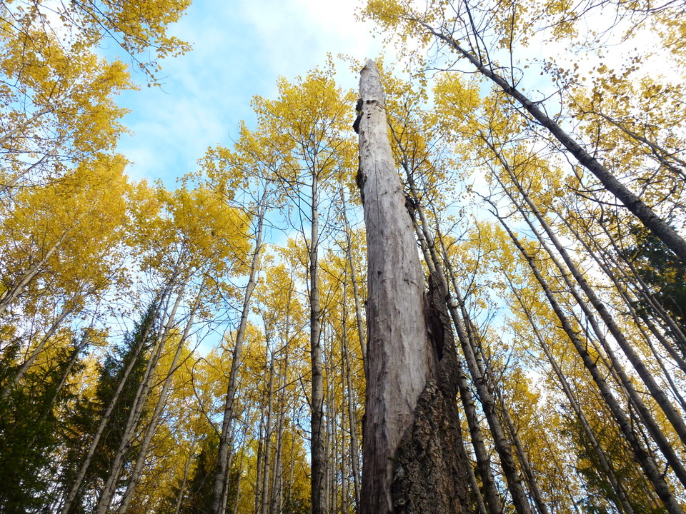
Tvärmyrkullen
- Naturschutzgebiet
- Landkreis: Västerbottens län
Aktionen
Beschreibung
Aktivitäten und Einrichtungen
- Naturschutzgebiet
Wegbeschreibung
The nature reserve is located about 25 kilometers southwest of Åsele.
The area is easily accessible by forest road that connects to the reserve. You can get to the area by car via road 90. Turn west at the village of Västra Gafsele, drive about 10 km towards the village of Björksele. When you get to Björksele, keep right and drive about 3.5 km to a smaller forest road leading north, towards Näverberget. After 1.5 km you have Tvärmyrkullen to the right of the forest road.
Kontakt
E-Mail-Adresse
Länsstyrelsen Västerbotten
Logotyp der Organisation
Bitte beachte, dass einige dieser Texte automatisch übersetzt worden sind.
Ich bin hier gewesen 3

Ich möchte hierher gehen 3
Bewertungen
—
1 Rezension
- 5 :
- 4 :
- 3 :
- 2 :
- 1 :
Fragen & Antworten
Stellen Sie eine Frage an andere Naturkartan-Nutzer.
Bilder von Nutzern
Teile deine Fotos von diesem Ort!

Jag hittade en vitsippsbacke. Vackert. Och jag fann fäbodstigen från Björksele.