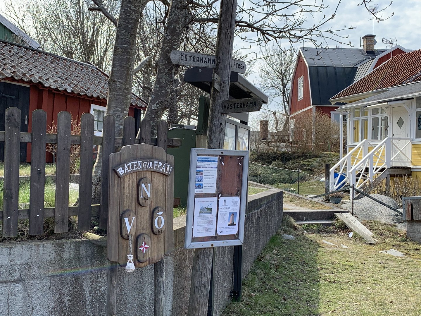
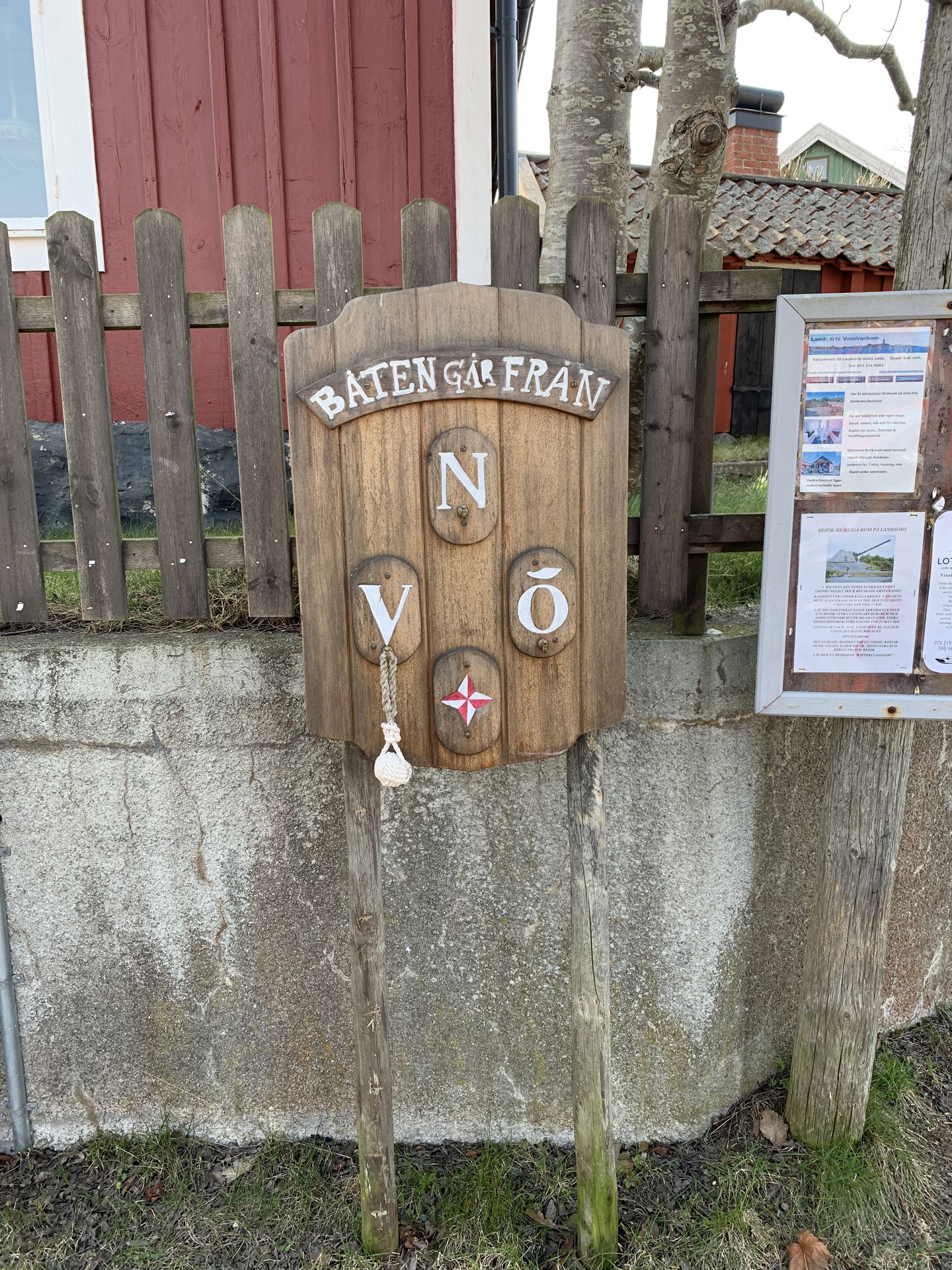
Infotavla om turbåten, Öja-Landsort
Information
- Landkreis: Stockholms län
- 6716.9 km von Ihnen entfernt
Aktionen
Beschreibung
From Ankarudden on the mainland, ferries operate between three harbours on Öja-Landsort—Västerhamn, Österhamn and Norrhamn—and they can stop at any one of these harbours, depending on weather conditions. This information board tells you when the next ferry departs, and from which harbour.
For current timetables, search for "29" in the search bar in Waxholmsbolaget's timetables (in Swedish) or use the SL travel planner and search for "Landsort". Busses and trains to/from Stockholm connect to Ankarudden. Plan the whole trip at sl.se.
More information about Öja–Landsort is available in English at landsort.com.
Aktivitäten und Einrichtungen
-
Information
Fakten
Protected since: 1985
Size: 570 hectares of which land 178 hectares
Character: archipelago, deciduous forest, cultural environment
Municipality: Nynäshamn
Landowner: the state
Administrator: County Administrative Board
Form of protection : nature conservation area
Anleitung
The sign is located at the crossing by the southern tip of Västerhamn.
Verordnungen
In order to protect the Öja-Landsort nature reserve, please respect the following rules.
Within the reserve, it is forbidden to:
- destroy or damage permanent natural structures,
- pick flowers of the lesser butterfly-orchid,
- break branches or fell trees,
- bring dogs that are not on a leash,
- deliberately disturb wildlife,
- camp or make a fire outside of designated sites.
Kontakt
E-Mail-Adresse
Länsstyrelsen i Stockholm
Logotyp der Organisation

Bitte beachten Sie, dass einige dieser Texte automatisch übersetzt worden sind.
Fragen & Antworten
Stellen Sie eine Frage an andere Naturkartan-Nutzer.


