Rönne å och Ringsjön


Sehenswürdigkeit
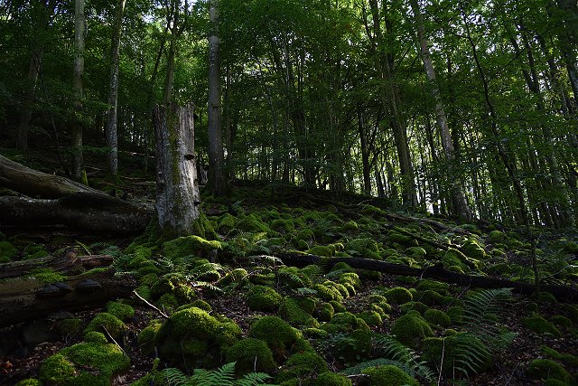
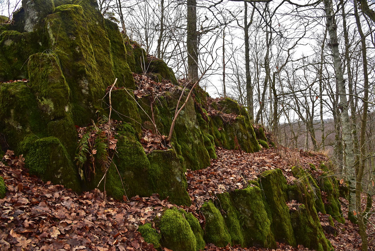
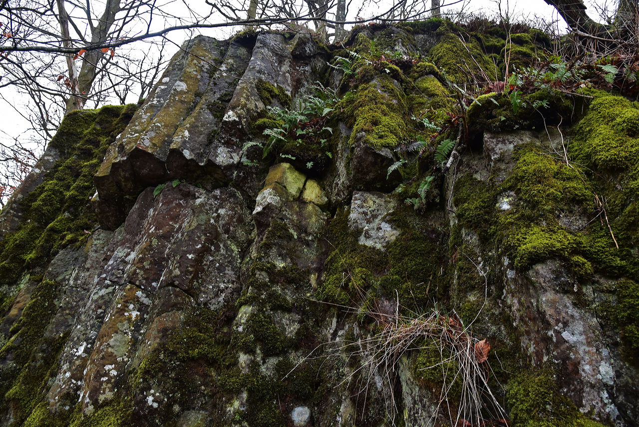
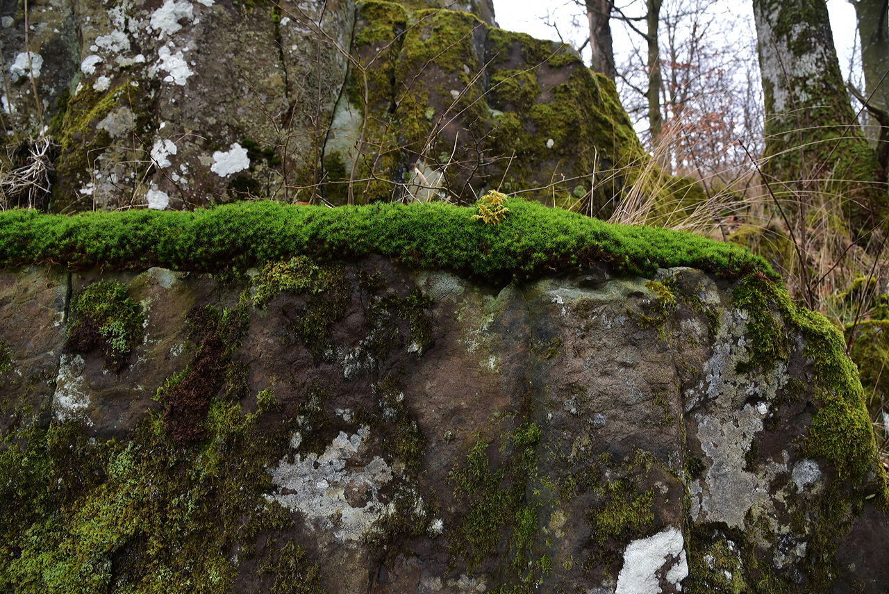
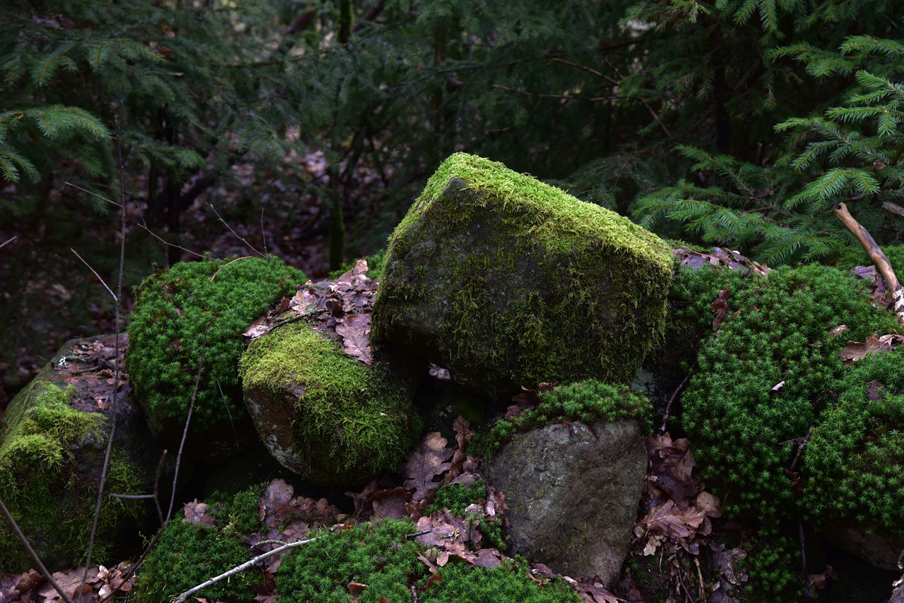
Juskushall ist einer der Überreste der Vulkane, die während der Jura und frühen Kreide aktiv waren. Juskushall ist ein Basaltcoup mit umliegenden Eisablagerungen. In einem Dreieck zwischen dem Bonnarpssee in Ljungbyhed, dem Finjasee und dem Ringsjönsee gibt es etwa 50 sichtbare Spuren vulkanischer Aktivität und weitere 150 Indikationen. Das Gebiet wird durch Risse im Gestein durchquert, bestehend aus Granit und Müll in der sogenannten Protogin-Zone.
Wie alt ist dieser Vulkan? Es gibt verschiedene Theorien. Ein Vorschlag besagt, dass es während der Jurassischen Periode geschehen ist, also vor 140-190 Millionen Jahren.
Bis Juskushall ist teilweise steil und anspruchsvoll. Es gibt Kratzer, um zu bleiben und die Hilfe des Auf-und Absteigens zu nehmen. Sie können nicht mit einem Kinderwagen oder einer Rolle laufen.
Weitere Informationen[ Jüskushalle Rönneådalen Skåne Nordvästpassage (kannes-nordvastpassage.se)
 Wertvolle Natur
 Att göra
Sehenswürdigkeit
Att göra
Sehenswürdigkeit
Follow the road from Riseberga church towards Perstorp. When you have passed Bandsjön and a large brown wooden house on the left (just over 1 km from Riseberga), after another 500 meters you come to a crossing road. About ten meters after this "four-way intersection", a small dirt road goes down to the left. There is a wooden sign/arrow with Räfshalen on it. Park your car out here by the road.
Follow the dirt road on foot through the forest and wooded bog with peat ditches. After about 200 m the landscape opens up again and you are in the pasture (Räfshalen). Here you will see a sign for both Räfshalen and Juskushall. If you want to continue to Juskushall, follow the path to the left outside the fence. When you reach Juskushall you will see a sign for Ruveröd.
From road 108 between Spången and Hyllstofta turn off towards Värgapet east. Drive about 1 km, you see Östra Sorrödssjön on the left and after another 500 meters you drive over Ybbarpsån and immediately turn right after the river. You are now at Ruveröds kvarn. Park the car here and go back over the bridge and go left and follow the forest road straight ahead (NOTE not along the river) and the marked road a few hundred meters. Turn right up a path that takes you to a beech-covered hill. Follow the marked path down to a footbridge that crosses a wetland. The path passes dense forest before you reach the path that goes up to the right towards Juskushall and a signposted path goes left towards Räfshalen.
GPS coordinates:
RT90: X: 6220200, Y: 1344480WGS84: Lat N 56° 5′ 5″ Lon E 13° 18′ 24″Decimal: 56.0849, 13.3069
Steigen Sie nicht die Steilküsten, wie sie porös sind und es besteht die Gefahr, dass Bits lockern.
Destination Rönne å och Ringsjön
![]()
Bitte beachten Sie, dass einige dieser Texte automatisch übersetzt worden sind.
Stellen Sie eine Frage an andere Naturkartan-Nutzer.