Rönne å och Ringsjön


Celowniki
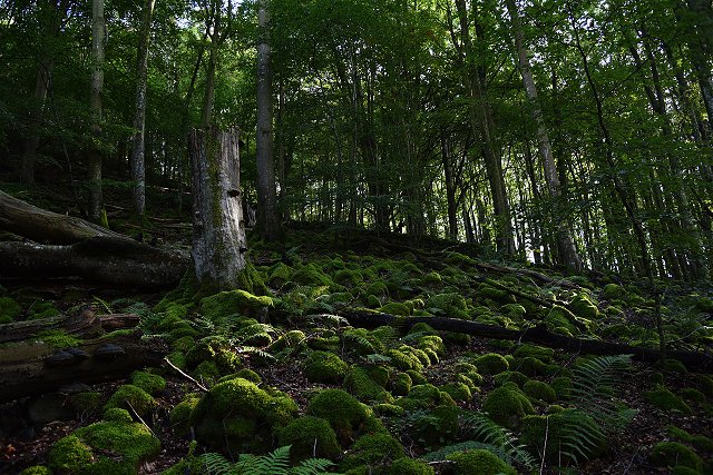
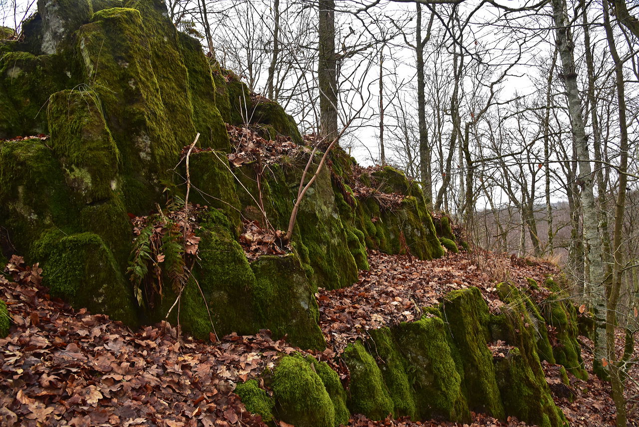
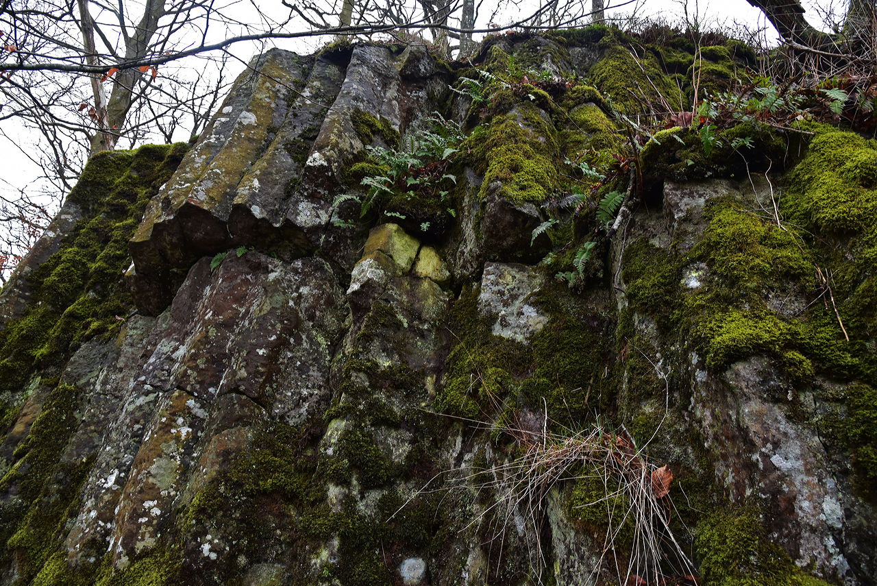
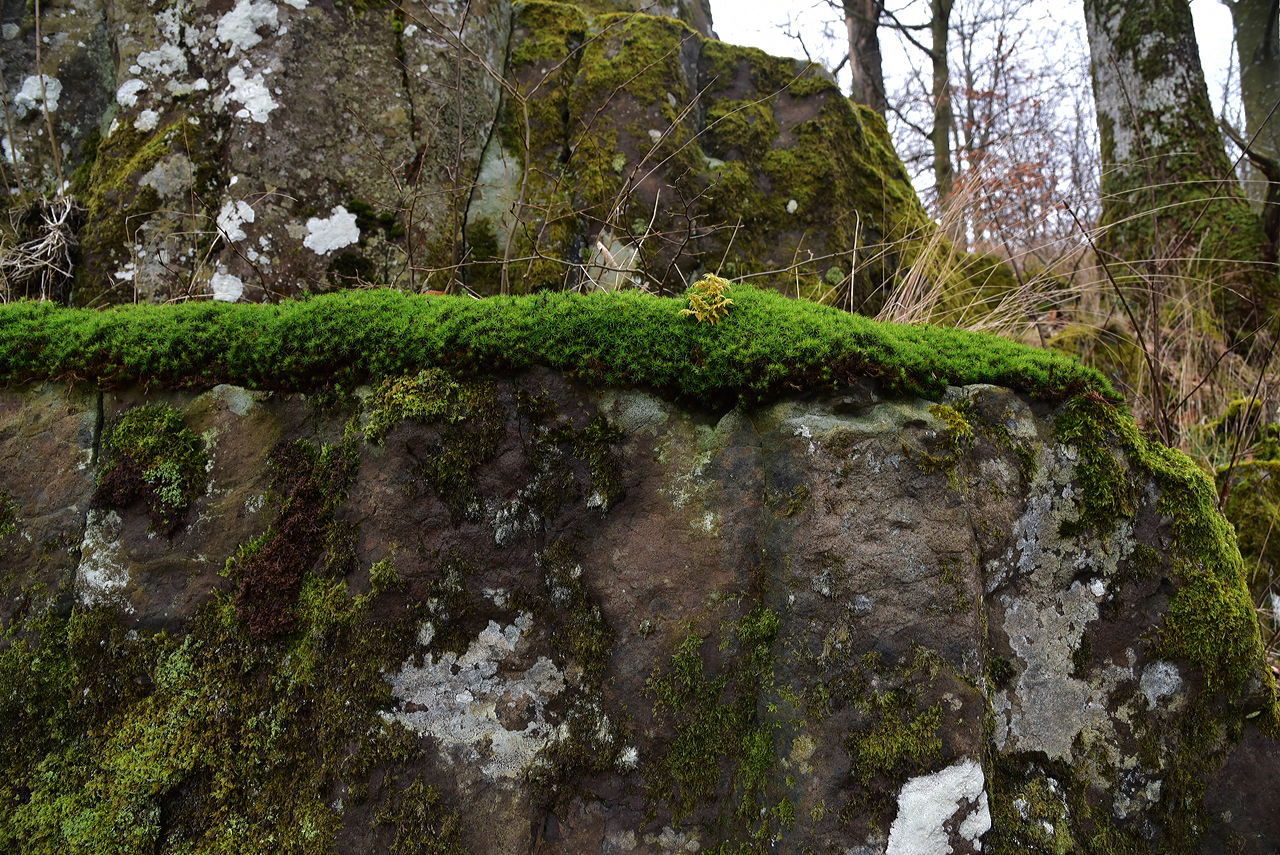
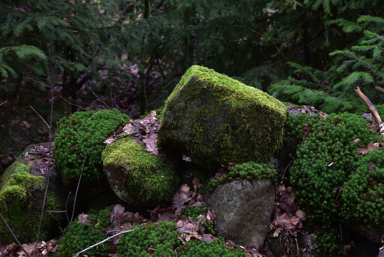
Juskushall är en av resterna av de vulkaner som var aktiva under jura och tidig krita. Juskushall är en basaltkupp med omgivande isälvsavlagringar. I en triangel mellan Bonnarpssjön vid Ljungbyhed, Finjasjön och Ringsjöarna finns ca 50 synliga spår av vulkanisk verksamhet och ytterligare 150 indikationer. Området är genomkorsat av sprickor i berggrunden, som består av granit och gnejs i den s.k. protoginzonen.
Hur gammal är denna vulkan? Det finns olika teorier . Ett förslag säger att det hände under Juraperioden, dvs. för 140 – 190 miljoner år sedan.
Upp till Juskushall är det delvis brant och krävande att gå. Det finns rep att hålla sig i och ta hjälp av att komma både upp och ner. Går inte att gå med barnvagn eller rullator.
Mer informationJuskushall – Rönneådalen – Skånes Nordvästpassage (skanes-nordvastpassage.se)
 Cenna przyroda
 Att göra
Celowniki
Att göra
Celowniki
Follow the road from Riseberga church towards Perstorp. When you have passed Bandsjön and a large brown wooden house on the left (just over 1 km from Riseberga), after another 500 meters you come to a crossing road. About ten meters after this "four-way intersection", a small dirt road goes down to the left. There is a wooden sign/arrow with Räfshalen on it. Park your car out here by the road.
Follow the dirt road on foot through the forest and wooded bog with peat ditches. After about 200 m the landscape opens up again and you are in the pasture (Räfshalen). Here you will see a sign for both Räfshalen and Juskushall. If you want to continue to Juskushall, follow the path to the left outside the fence. When you reach Juskushall you will see a sign for Ruveröd.
From road 108 between Spången and Hyllstofta turn off towards Värgapet east. Drive about 1 km, you see Östra Sorrödssjön on the left and after another 500 meters you drive over Ybbarpsån and immediately turn right after the river. You are now at Ruveröds kvarn. Park the car here and go back over the bridge and go left and follow the forest road straight ahead (NOTE not along the river) and the marked road a few hundred meters. Turn right up a path that takes you to a beech-covered hill. Follow the marked path down to a footbridge that crosses a wetland. The path passes dense forest before you reach the path that goes up to the right towards Juskushall and a signposted path goes left towards Räfshalen.
GPS coordinates:
RT90: X: 6220200, Y: 1344480WGS84: Lat N 56° 5′ 5″ Lon E 13° 18′ 24″Decimal: 56.0849, 13.3069
Do not climb on the slopes as they are porous and there is a risk of pieces falling off.
Destination Rönne å och Ringsjön
![]()
Należy pamiętać, że niektóre z tych tekstów zostały przetłumaczone automatycznie.
Zadaj pytanie innym użytkownikom Naturkartan.