[Kinda] Smedstorp-Pinnarp DE
Wandern
- Landkreis: Östergötlands län
- 6585.42 km von Ihnen entfernt
Details zum Weg
- Länge 12.6 km
- Schwierigkeit Blau - mittel
Aktionen
Beschreibung
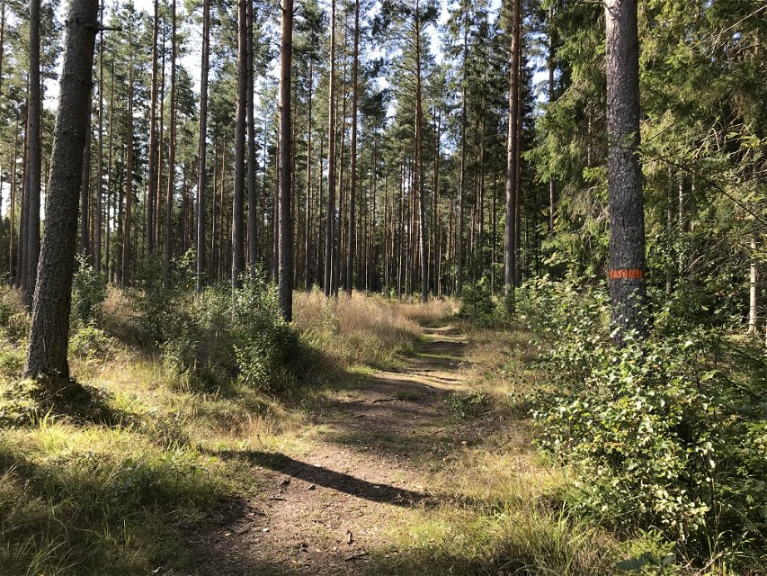
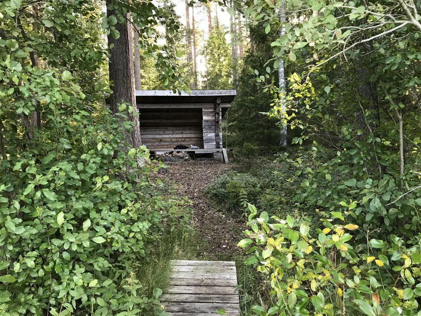
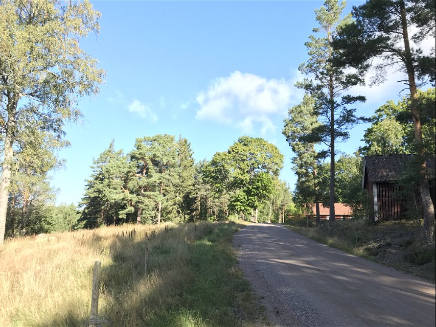
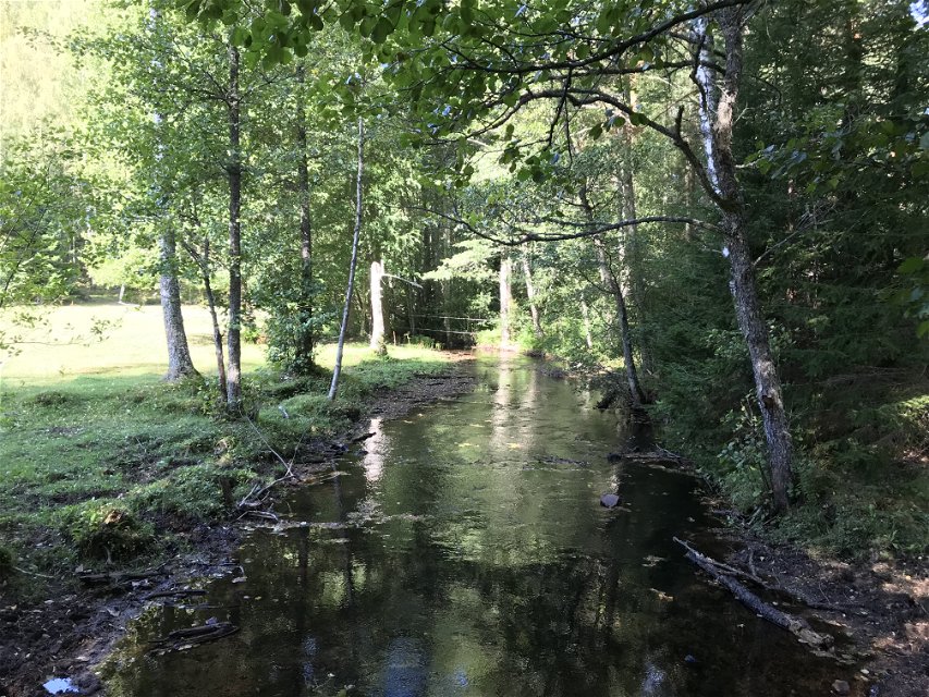
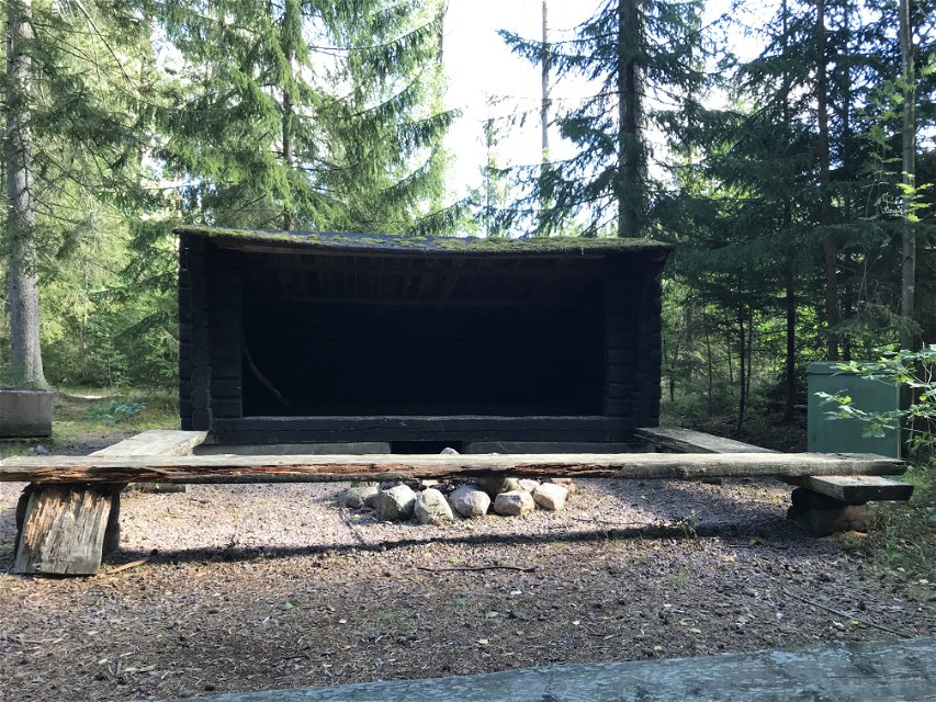
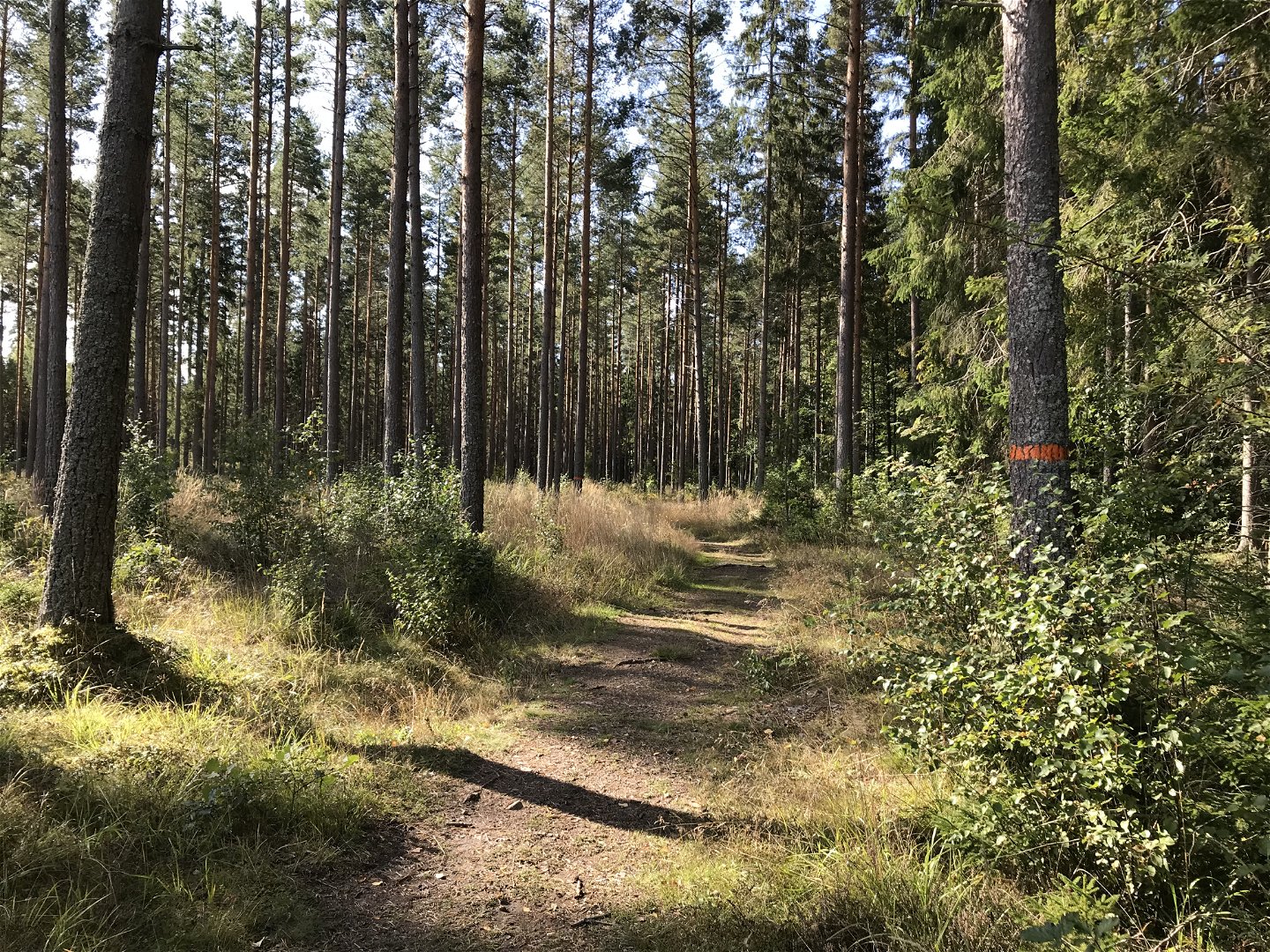
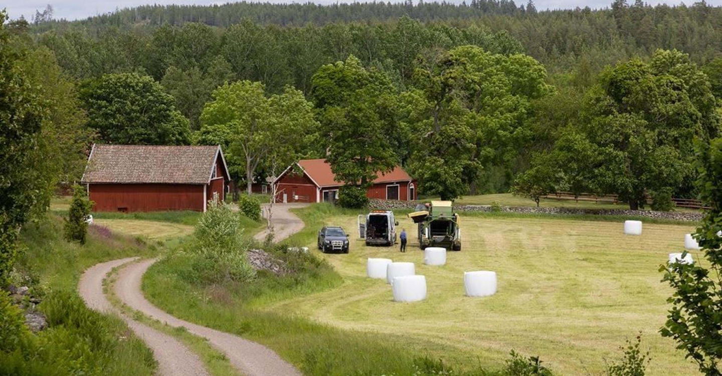
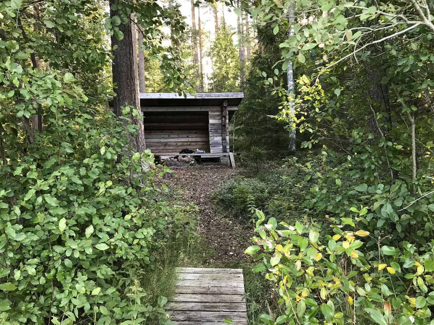
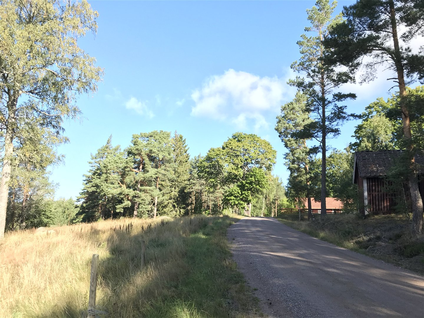
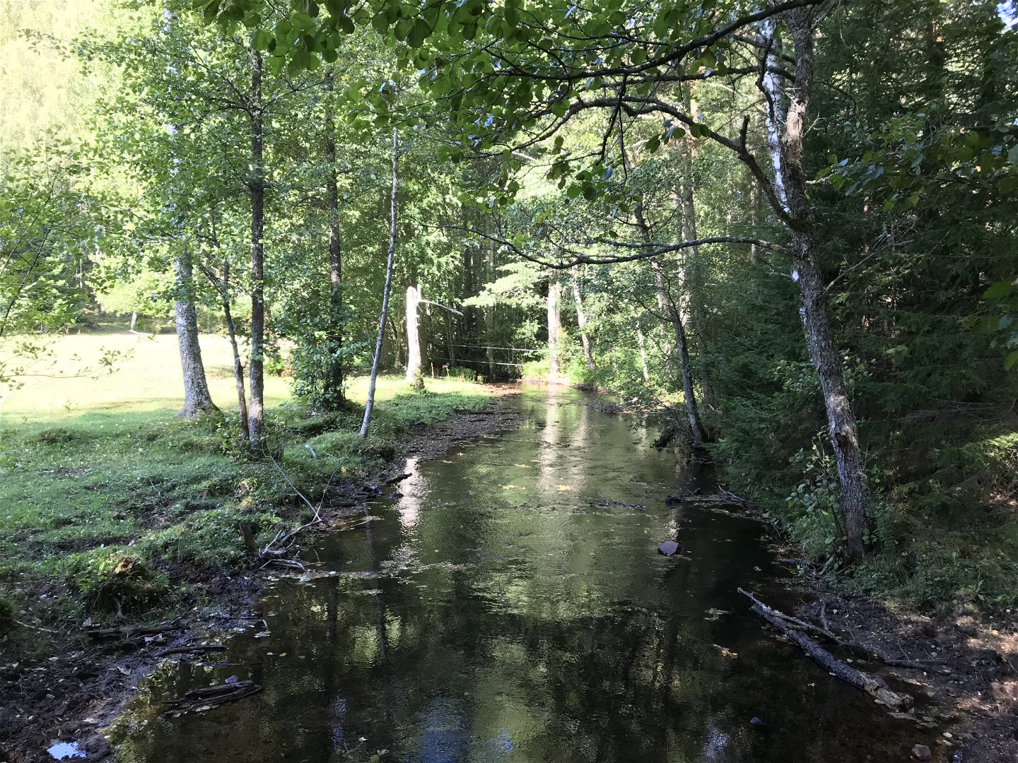
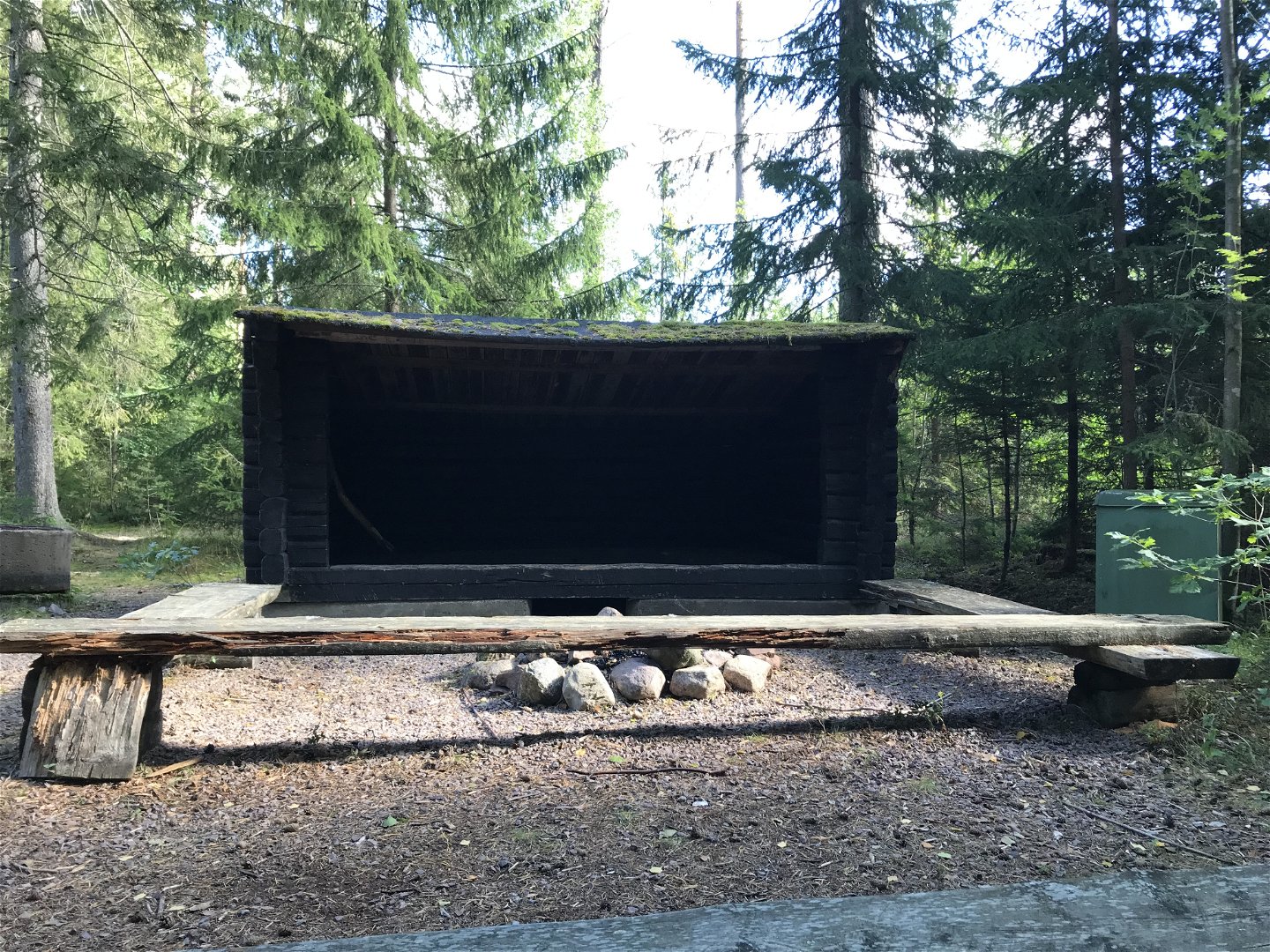
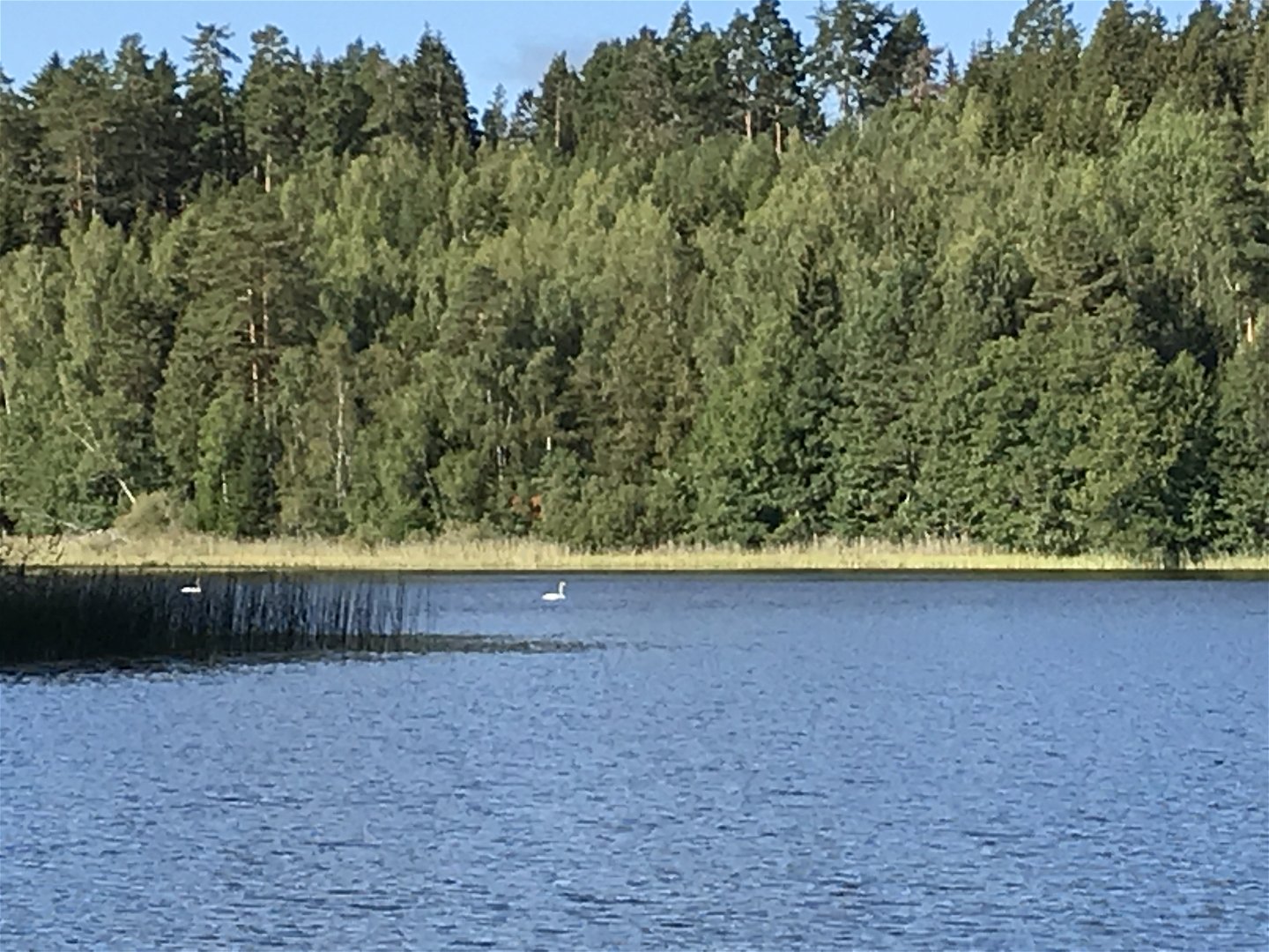
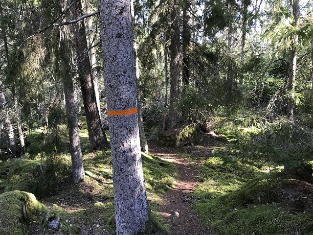
The route mostly goes through varied forest terrain and small forest roads. A varied section that can be considered "moderately difficult". A wind shelter is located at the beginning of the stretch along the shores of Lake Driern. You pass Misterfall's ash meadow which is a felled leaf meadow with a nice view of the area. The route ends in Pinnarp, which is something of a hub for the hiking trail in Kinda. In Pinnarp there are, among other things, cottages, hostels and a campsite.
Aktivitäten und Einrichtungen
-
Wandern
Kontakt
Adresse
Välkommen till Östgötaleden, 150 mils vandring i Östergötland!
E-Mail-Adresse
Kontakt Östgötaleden
Logotyp der Organisation

Bitte beachten Sie, dass einige dieser Texte automatisch übersetzt worden sind.
Fragen & Antworten
Stellen Sie eine Frage an andere Naturkartan-Nutzer.


