
-
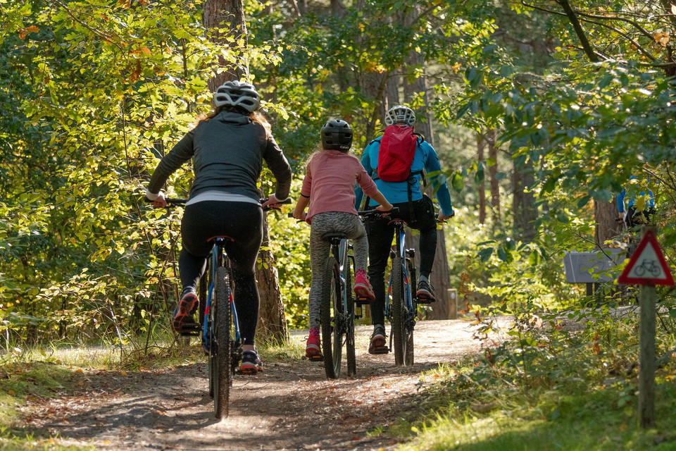
Foto: Pixabay
Bergbanan 6,8 km
- Wandern
- Mountainbike
- Rundschleife
- Landkreis: Jämtlands län
- 6496.00 km von Ihnen entfernt
Details zum Weg
- Länge 6.9 km
Aktionen
Beschreibung
Labeling: red and white
Ascent: 135 altitude meters
Execute: 130 altitude meters
From Bölegården, the trail goes uphill along the village road and passes the viewpoint where Klövsjö and Vemdalsfjällen are panned with a mile-wide view. The tour continues along the village road for about 700 meters to turn off up to higher heights. Along old paths through different types of forest, the journey goes towards the highest point of the course 525 meters above sea level. From there the trail descends towards Knötavägen. With a detour from the trail of 300 meters, you come to Bölestjärnen and the rest area Kaffekoppen. The trail goes along a gravel road back to Bölegården.
Aktivitäten und Einrichtungen
- Mountainbike
- Wandern
- Rundschleife
Ich bin hier gewesen
Ich möchte hierher gehen
Fragen & Antworten
Stellen Sie eine Frage an andere Naturkartan-Nutzer.
Bewertungen
0 Rezensionen
- 5 :
- 4 :
- 3 :
- 2 :
- 1 :
Bilder von Nutzern
Es gibt noch keine Nutzerbilder. Sei der Erste, der eines teilt!
