
Kyrkleden, När
- Wandern
- Landkreis: Gotlands län
- 6984.45 km von Ihnen entfernt
Details zum Weg
- Länge 4.0 km
Aktionen
Beschreibung
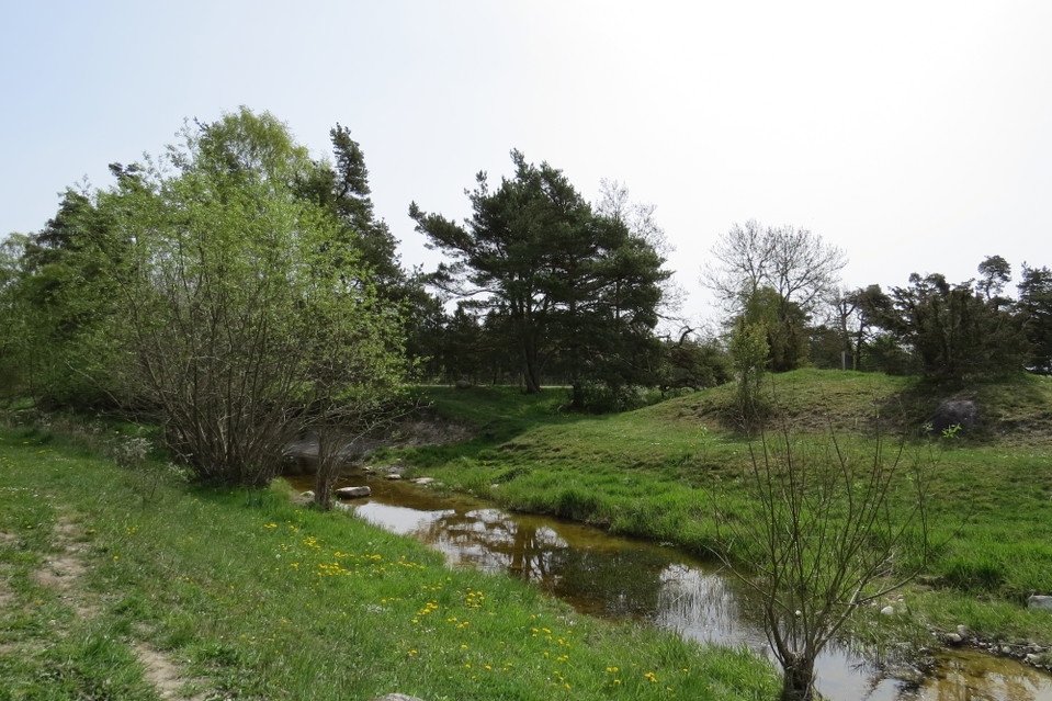
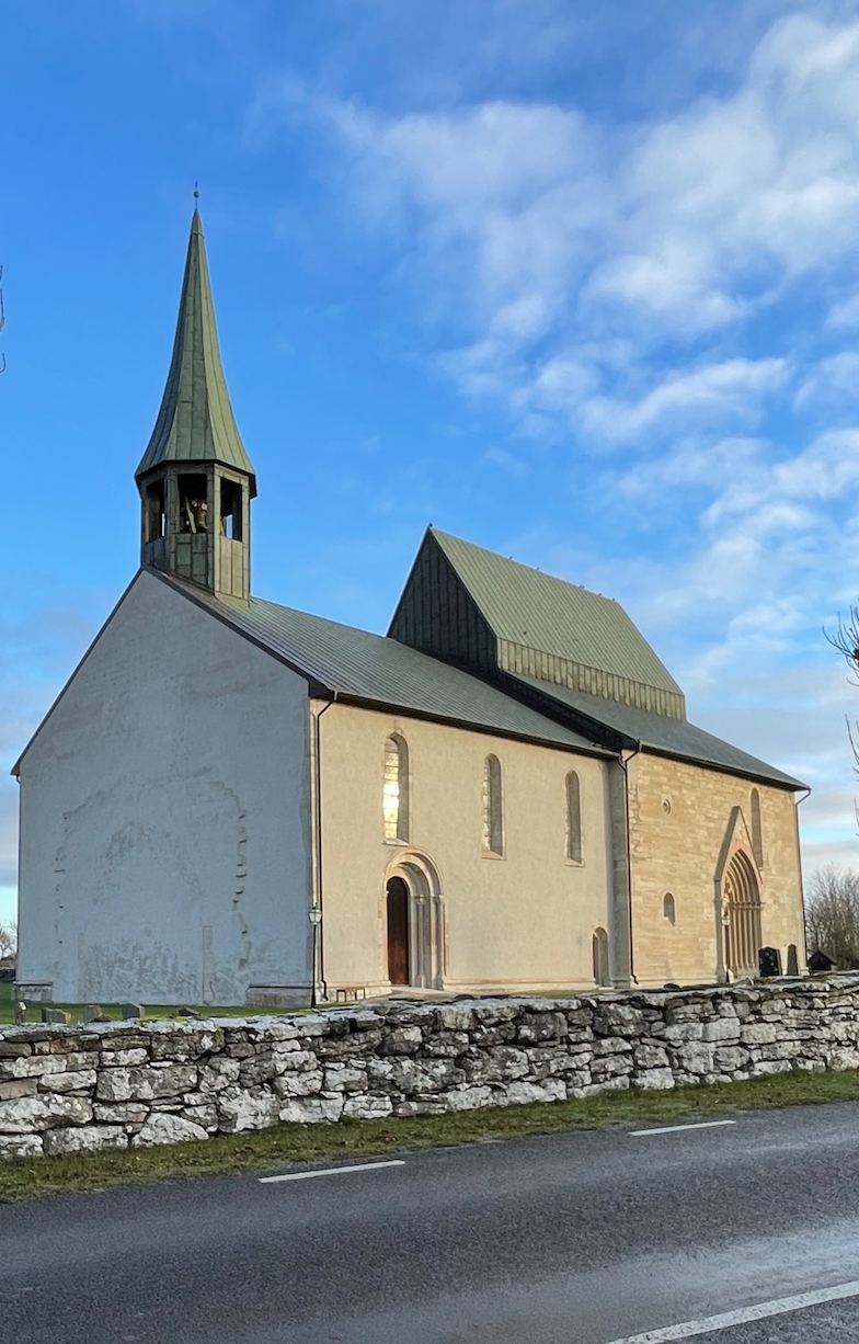
The walk between the churches of När and Lau is 4 km long and runs along the northern side of the Linnaeus Trail. Half of the route runs through an open rural landscape where the occasional cow may come to watch you. När kyrka is Gotland's lowest church, only about 5 meters above sea level. The church has bullet holes in the tower to defend against enemies that may come along the Närsån river, which flows nearby. Lau Church is Gotland's largest rural church, with the largest crucifix in the Nordic region and a full eight seconds of reverberation. It's definitely worth going in and singing a cappella to yourself. At the Dam there is a picnic area with shelter, barbecue area and WC
Aktivitäten und Einrichtungen
- Wandern
Kontakt
E-Mail-Adresse
Turistbyrån på Gotland
Ich bin hier gewesen
Ich möchte hierher gehen 2

Fragen & Antworten
Stellen Sie eine Frage an andere Naturkartan-Nutzer.
Bewertungen
0 Rezensionen
- 5 :
- 4 :
- 3 :
- 2 :
- 1 :
Bilder von Nutzern
Es gibt noch keine Nutzerbilder. Sei der Erste, der eines teilt!
