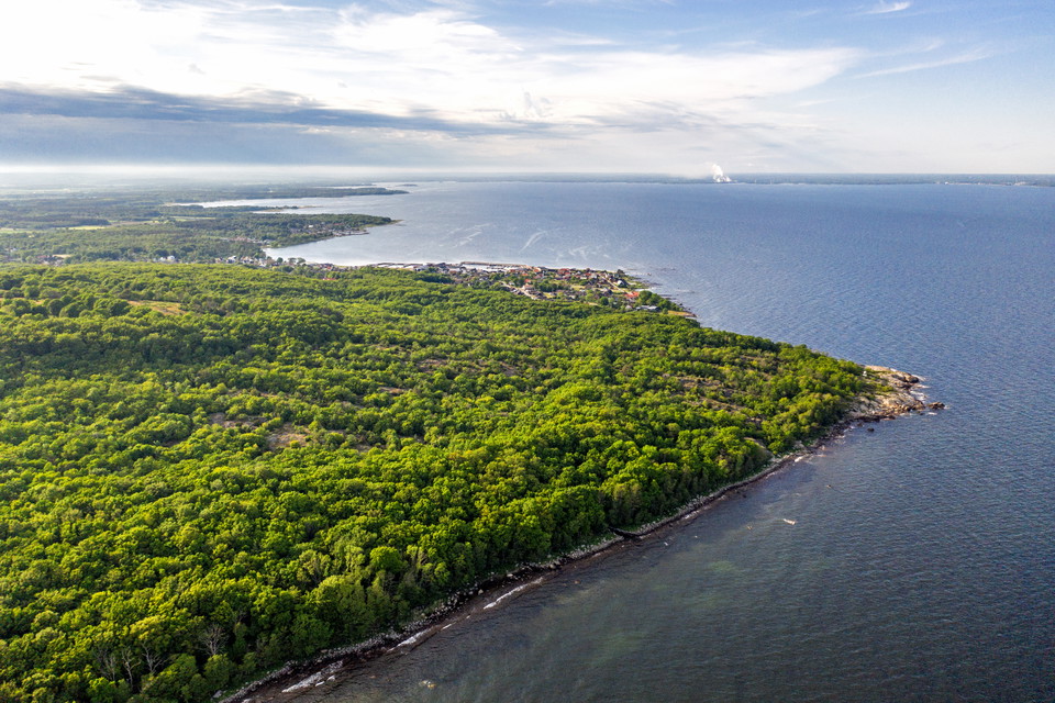
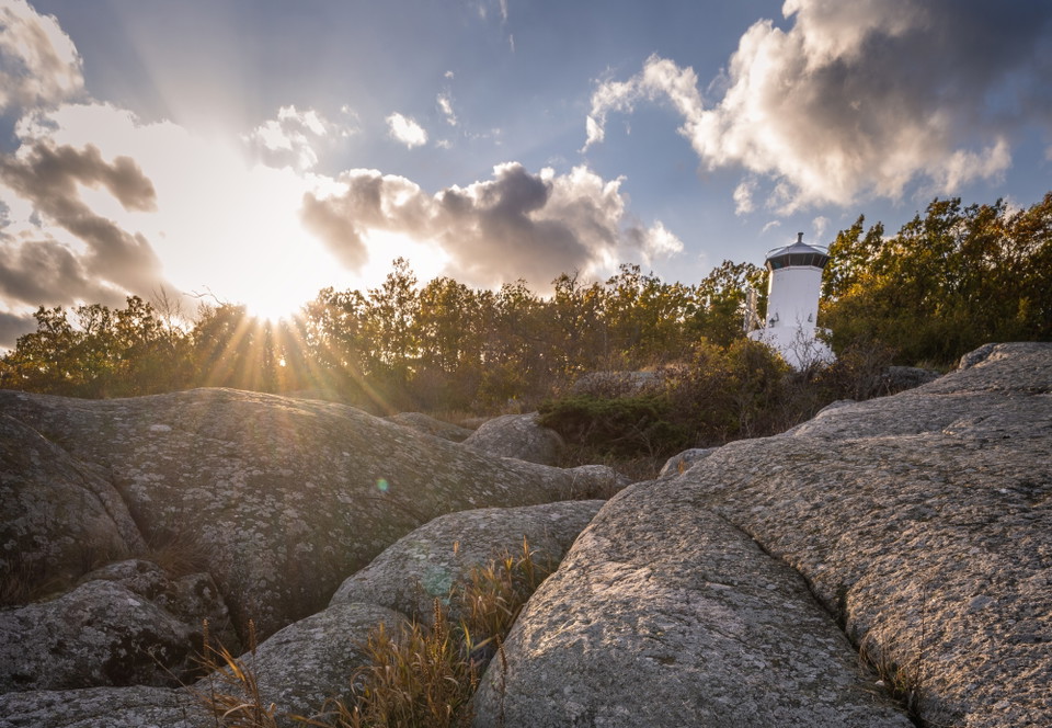
• Flygfoto
    Flygfoto
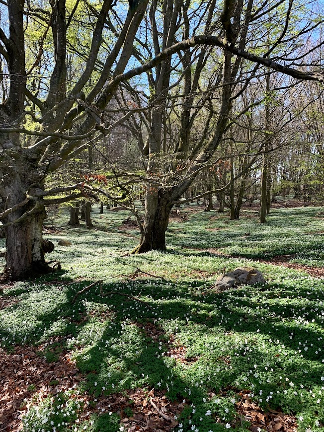
  • Vår på Listershuvud
    Vår på Listershuvud
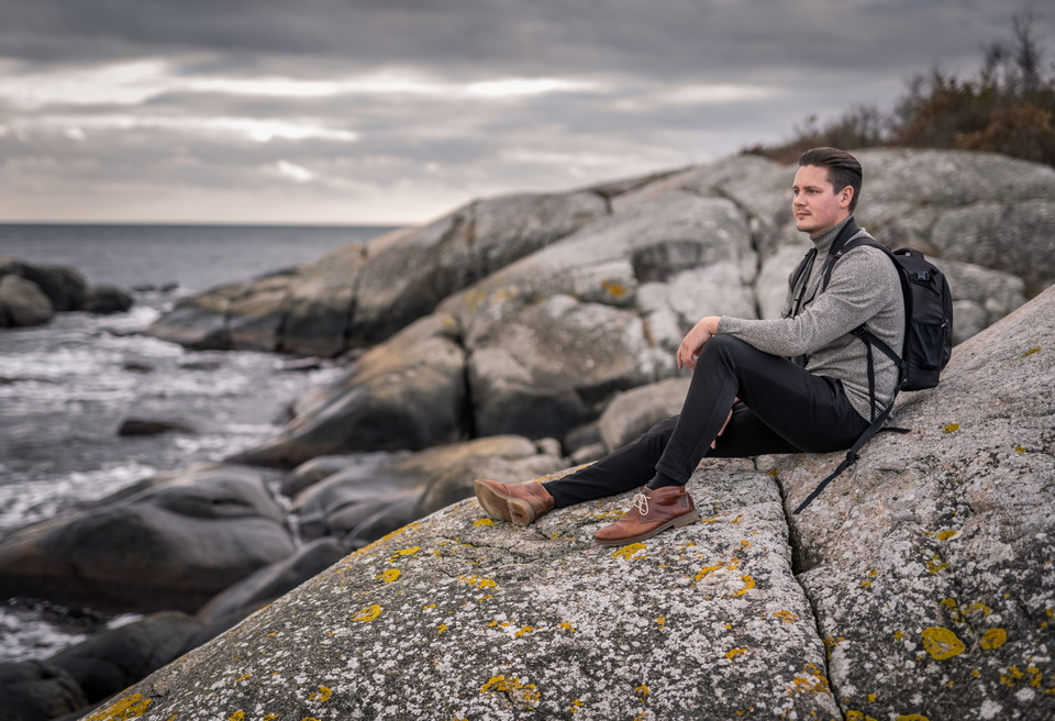
  • En favoritplats
    En favoritplats

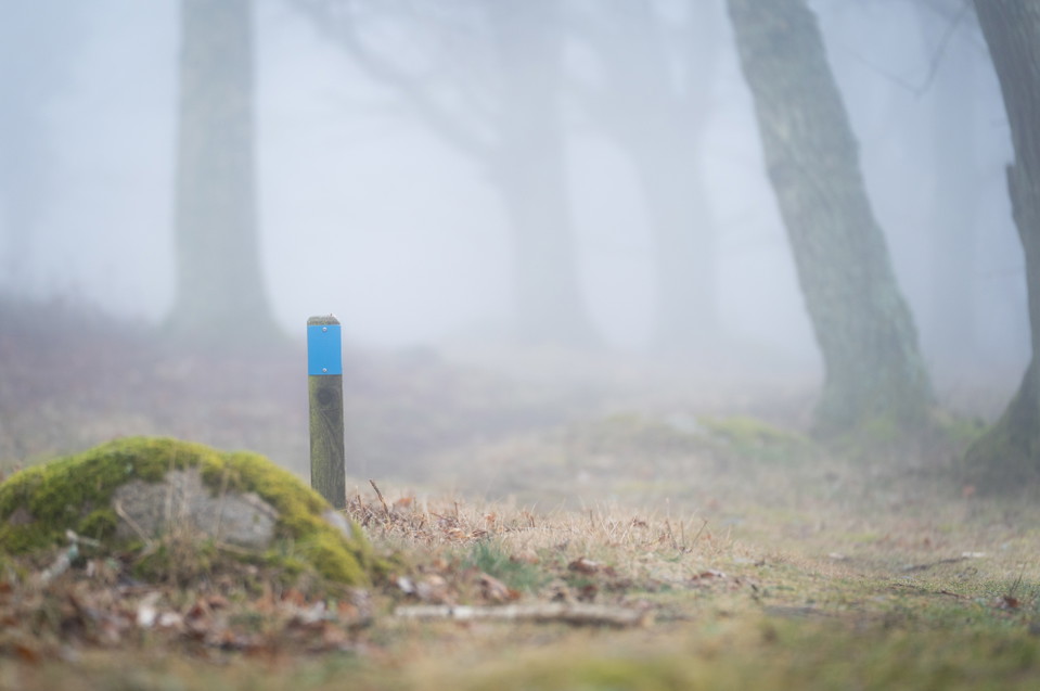
Listershuvud Blåa leden

  • Wandern
  • Ruhige Orte
  • Spaziergang
  • Running
  • Trailrunning
  • Nähe eines Parkplatzes
  • Rundschleife
von 5 Sternen

Details zum Weg

  • Länge 2.2 km

Aktionen

  • Wegbeschreibung

Beschreibung

The trail passes the top of Listershuvud in the west and the viewpoint over Hanö in the east.

Listerhuvud is located between Hörvik in the north and Nogersund in the south. The nature reserve contains strikingly beautiful scenery, rich wildlife and remains of both geological and human activity. Traces of the movements of the ice sheets can be found in the landscape in the form of, among other things, shingle fields. Along the trail you will come across Engelska Källan, where the British Navy drew its drinking water during the siege of Hanö over 200 years ago.

Access along the trail is sometimes difficult as the hills are steep in many places.

Wettervorhersage (um 12:00 Uhr)

Wird geladen…

Mit öffentlichen Verkehrsmitteln anreisen

Aktivitäten und Einrichtungen

  • Ruhige Orte
  • Spaziergang
  • Running
  • Wandern
  • Trailrunning
  • Rundschleife

Zugänglichkeit

  • Nähe eines Parkplatzes

Oberfläche

Natur- und Waldweg

Kontakt

Adresse

Telefon: 0456 81 61 81

E-Mail-Adresse

Sölvesborgs Turistbyrå

Bitte beachte, dass einige dieser Texte automatisch übersetzt worden sind.

Ich bin hier gewesen

Ich möchte hierher gehen 2
Bewertungen

—

0 Rezensionen

von 5 Sternen

5 :
0.0%
4 :
0.0%
3 :
0.0%
2 :
0.0%
1 :
0.0%

Fragen & Antworten

Stellen Sie eine Frage an andere Naturkartan-Nutzer.

Bilder von Nutzern

Teile deine Fotos von diesem Ort!

Naturkartan

Öffne dies in der App.