
Vandringsled BD47 mellan Hukejaure och Sitasjaure
- Vandring
- Amt: Norrbottens län
- 6360.67 km fra dig
Ruteoplysninger
- Længde 20.0 km
Handlinger
Beskrivelse
Aktiviteter og faciliteter
- Vandring
Overflade
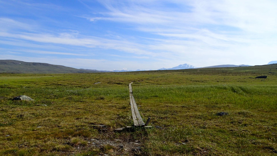
A slightly hilly highland plateau across easily-hiked brush moors and low-lying ground. A fair number of plankways.
Kommunikation
From Ritsem to Sitasjaure there is a gravel road across which is blocked by a locked barrier at Ritsem. The hike is 22 km and takes 7–8 hours. Ritsem lies about 180 km from Gällivare. It can be reached by car – otherwise the easiest way to get there is by bus.
Länstrafiken Norrbotten website (bus and coach operator) Gällivare Turistcenter website
Kontakt
E-mailadresse
Länsstyrelsen Norrbotten
Organisationens logotype

Jeg har været her 6




Jeg vil gerne derhen 11


Anmeldelser
—
0 anmeldelser
- 5 :
- 4 :
- 3 :
- 2 :
- 1 :
Spørgsmål og svar
Stil et spørgsmål til andre Naturkartan-brugere.
Brugernes billeder
Del dine billeder fra stedet!
