
-
Ulrika Mogren -
Ulrika Mogren -
Zdjęcie: Ulrika Mogren -
Zdjęcie: Ulrika Mogren -
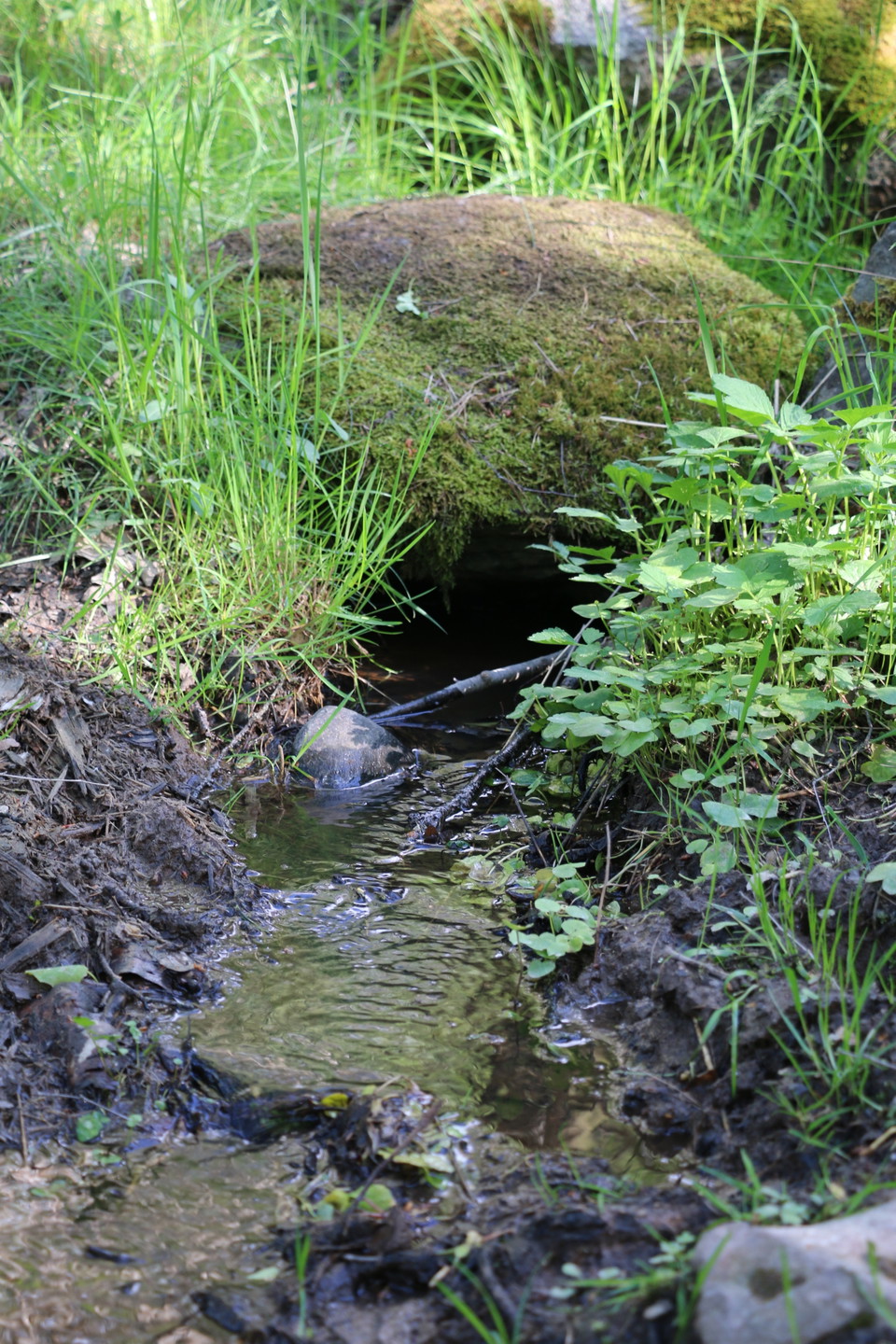
Zdjęcie: Ulrika Mogren -
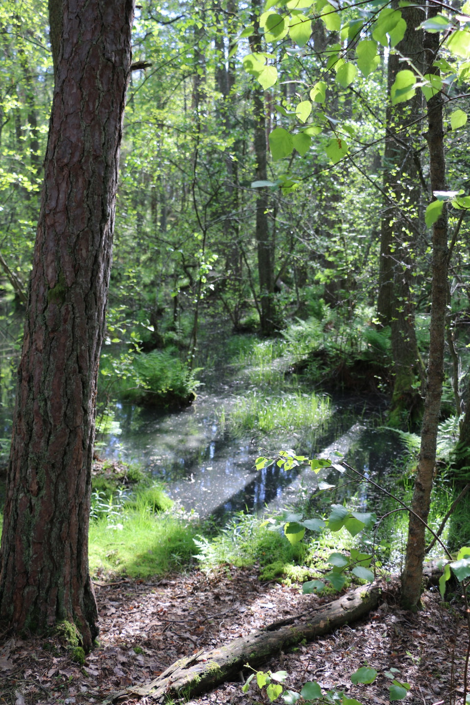
Ulrika Mogren
Bryggrundan
- Wędrówki piesze
- Przewodnik: Länsstyrelsen Västmanlands län
- 6768.76 km od Ciebie
Szczegóły dotyczące szlaku
- Długość 3.2 km
Akcje
Opis
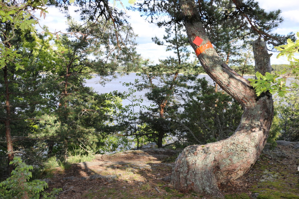
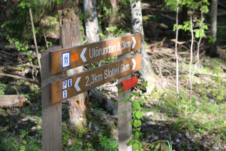
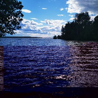
Bryggrundan is 3.2 kilometers long. The route is on varying terrain and the path leads up the rocks, with a fantastic view of Lake Mälaren. The Bryggrundan trail starts from the parking lot at Långholms brygga, which is as far south as you can get on Ängsön. Follow the signs and red markings along the path. Under links you will find a map of all the trails on Ängsö.
If you want to know more about what you can do and experience on Ängsö, visit the Westmannastiftelsen website.
Działania i udogodnienia
- Wędrówki piesze
Kontakt
Adres
Kontakta mig om du har frågor om Naturkartan Västmanland.
Adres e-mail
Daniel Anundi
Logotyp organizacji
Byłam tu 22


Chcę tu iść 27



Pytania i Odpowiedzi
Zadaj pytanie innym użytkownikom Naturkartan.
Opinie
0 reviews
- 5 :
- 4 :
- 3 :
- 2 :
- 1 :
Zdjęcia użytkowników
Nie ma jeszcze żadnych zdjęć użytkowników. Bądź pierwszym, który je udostępni!
