
-
Ulrika Mogren -
Ulrika Mogren -
Foto: Ulrika Mogren -
Foto: Ulrika Mogren -
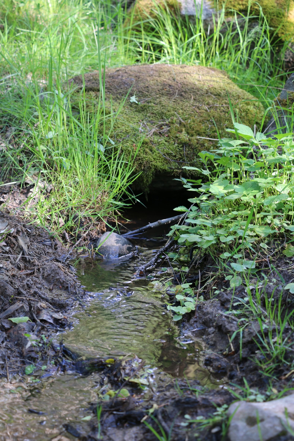
Foto: Ulrika Mogren -
Ulrika Mogren
Bryggrundan
- Wandern
- Reiseführer: Länsstyrelsen Västmanlands län
- 6768.76 km von Ihnen entfernt
Details zum Weg
- Länge 3.2 km
Aktionen
Beschreibung
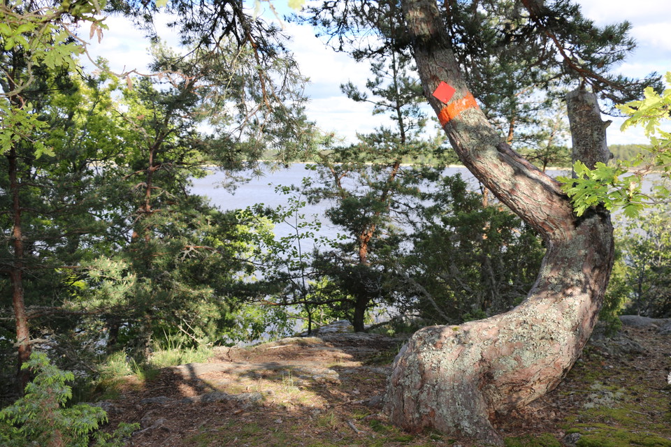
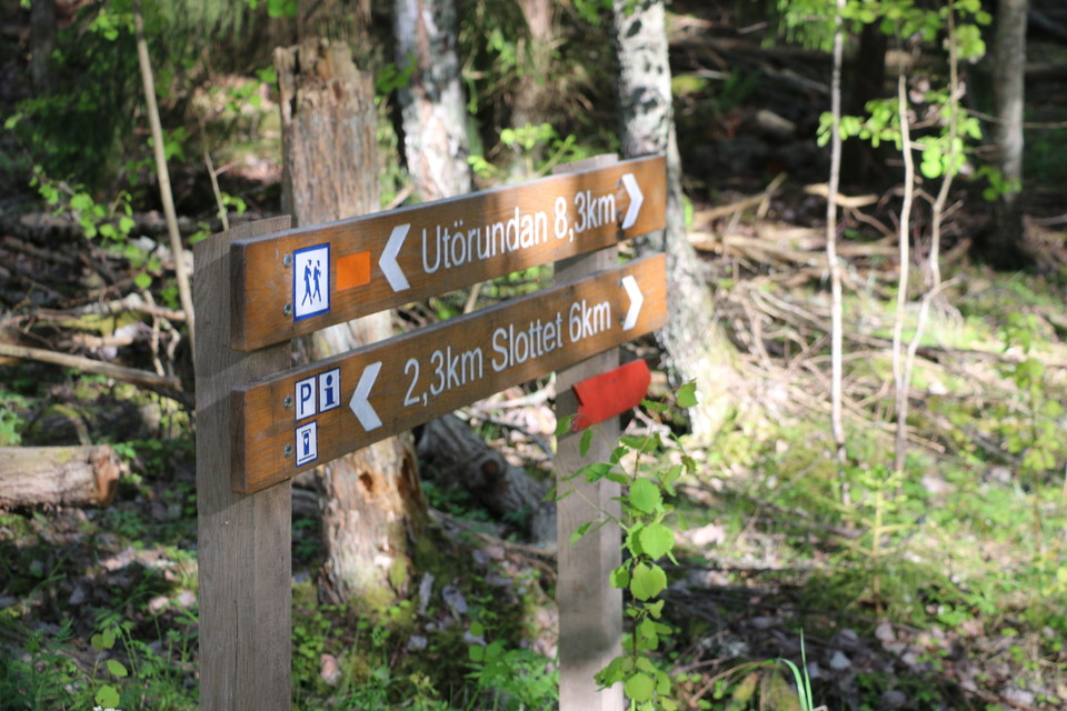
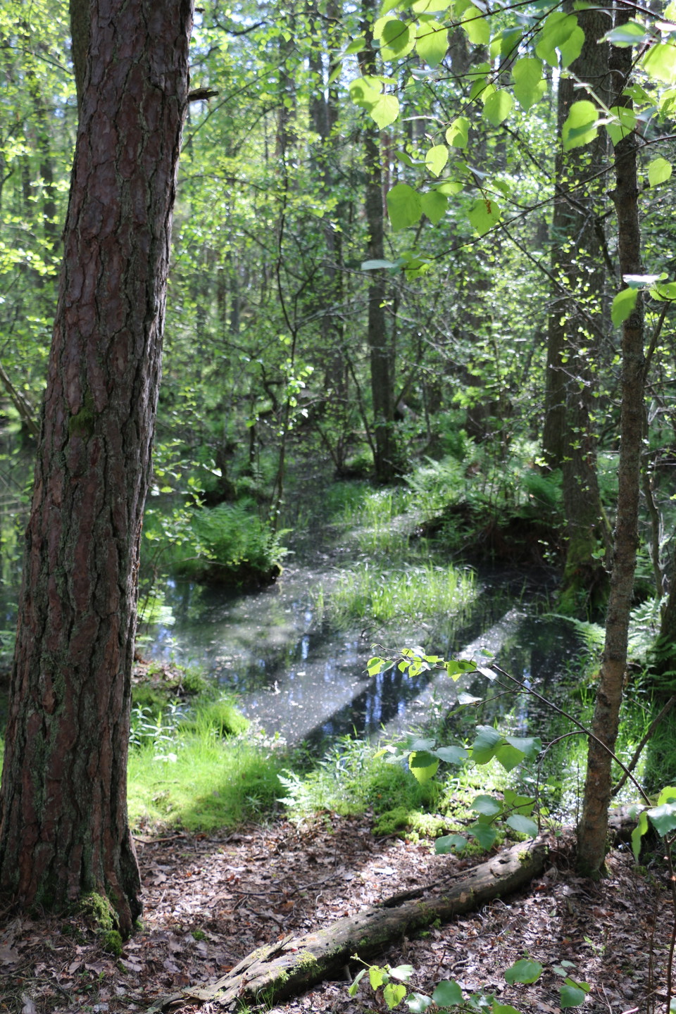
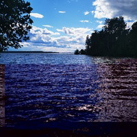
Bryggrundan is 3.2 kilometers long. The route is on varying terrain and the path leads up the rocks, with a fantastic view of Lake Mälaren. The Bryggrundan trail starts from the parking lot at Långholms brygga, which is as far south as you can get on Ängsön. Follow the signs and red markings along the path. Under links you will find a map of all the trails on Ängsö.
If you want to know more about what you can do and experience on Ängsö, visit the Westmannastiftelsen website.
Aktivitäten und Einrichtungen
- Wandern
Kontakt
Adresse
Kontakta mig om du har frågor om Naturkartan Västmanland.
E-Mail-Adresse
Daniel Anundi
Logotyp der Organisation
Ich bin hier gewesen 22



Ich möchte hierher gehen 27



Fragen & Antworten
Stellen Sie eine Frage an andere Naturkartan-Nutzer.
Bewertungen
0 Rezensionen
- 5 :
- 4 :
- 3 :
- 2 :
- 1 :
Bilder von Nutzern
Es gibt noch keine Nutzerbilder. Sei der Erste, der eines teilt!
