
Spårcentral Stormorshäll cykel- och vandringsleder
- Mapa orientacyjna
- Województwo: Gävleborgs län
- 6682.79 km od Ciebie
Akcje
Opis
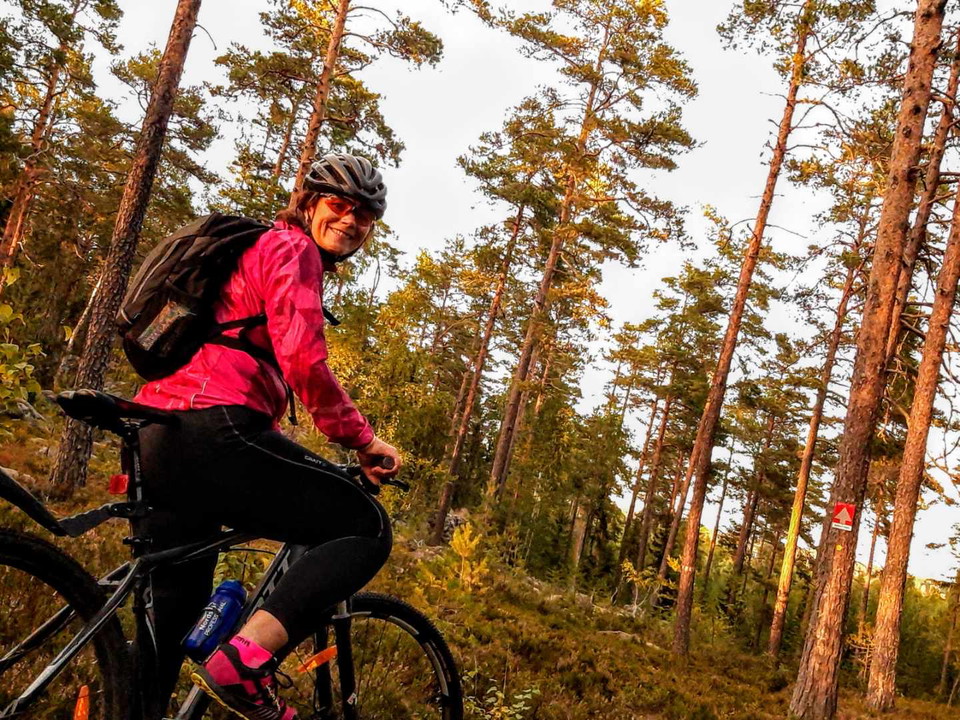
Information board and the start of the trails, Stormorshäll. The signs along the trails are square with different color coding. The direction of travel is marked with an arrow in reflective material that makes it visible even in the evening with a bicycle and headlamp. The trails vary in length, hilliness and difficulty to suit as many people as possible. In addition, there is also a reflective track for running.
CALM TRAIL - 400M (SPRINT)
A short sprint course adjacent to Stormorshällsstugan. Excellent for interval training or the very youngest.
VADSLINGAN - 7.5 KM
Vadslingan is our easiest trail and takes you through the scenic Lugnesjön nature reserve. The mountain bike is not needed for this trail.
BJÖRNSTIGEN - 3 KM
Our red trail runs mainly via an old ski track and contains a couple of technical sections and some marsh.
STORMORSHÄLLSLINGAN - 4.5 KM
A slightly tougher trail with a few steep slopes and some technical sections. Suitable for both the exerciser who wants to challenge and the more experienced.
STORMORSTRAILEN - 8 KM
Here you get a little of everything. A hilly trail that passes Lugnesjön, the pebble ridge, the barbecue hut and Stormorshällen itself. Perfect for trail running and hiking. Very technical cycling. It is this trail that is used in the exercise race of the same name.
REFLEXBANA
Since the fall of 2019 there are also 2 reflex courses marked. The courses split after 2 km where the long one then connects to the shorter one again. The courses are marked with round, yellow reflectors about 5 cm wide.
Well-being rules
- Show consideration for each other.
- Cyclists have a duty to give way and must adjust their speed when meeting other exercisers.
- Dog owners should always keep their dogs on a leash.
- Do not leave litter in nature. If you have taken it into the forest, you can also bring it back home.
- Some of the trails pass electric trails that should not be used in winter when the ski trails are groomed.
- Pay attention to the surface and the weather. Roots and stones can be very slippery.
Działania i udogodnienia
- Mapa orientacyjna
Kontakt
Adres e-mail
Visit Söderhamn
Logotyp organizacji

Byłam tu
Chcę tu iść
Pytania i Odpowiedzi
Zadaj pytanie innym użytkownikom Naturkartan.
Opinie
0 recenzji
- 5 :
- 4 :
- 3 :
- 2 :
- 1 :
Zdjęcia użytkowników
Nie ma jeszcze żadnych zdjęć użytkowników. Bądź pierwszym, który je udostępni!
