
-
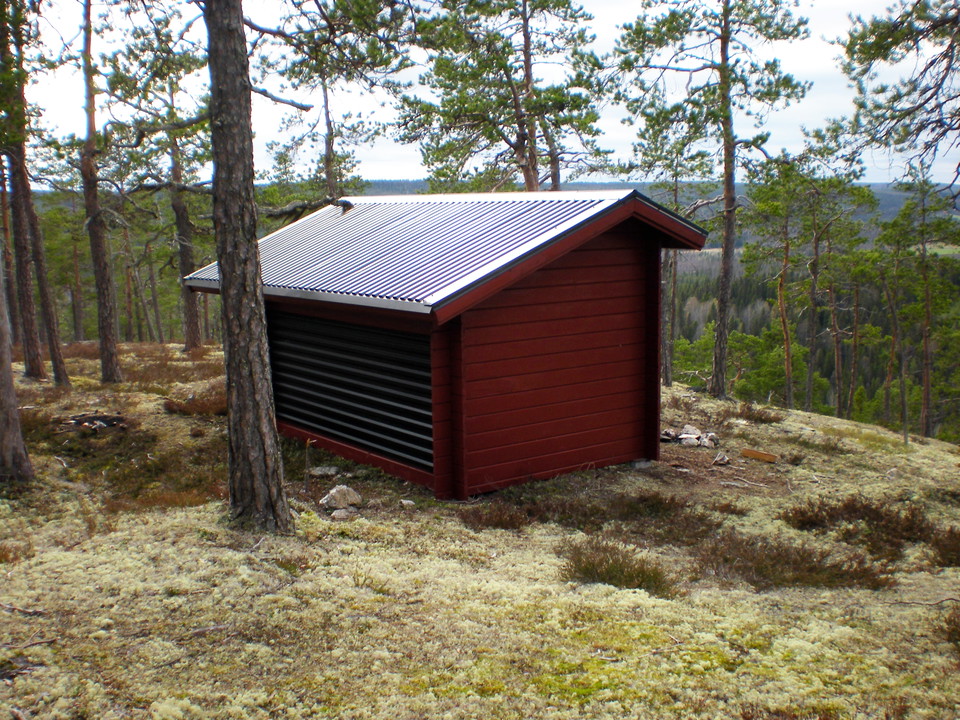
Foto: Andreas Garpebring -
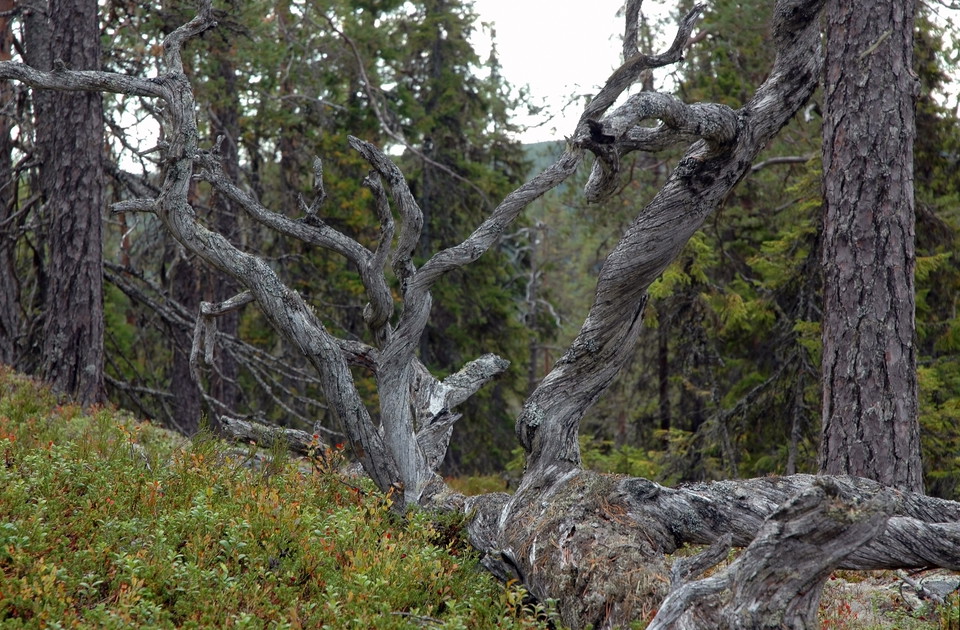
Foto: Andreas Garpebring -
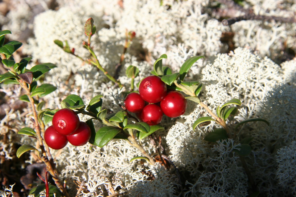
Foto: Anna Wenngren -
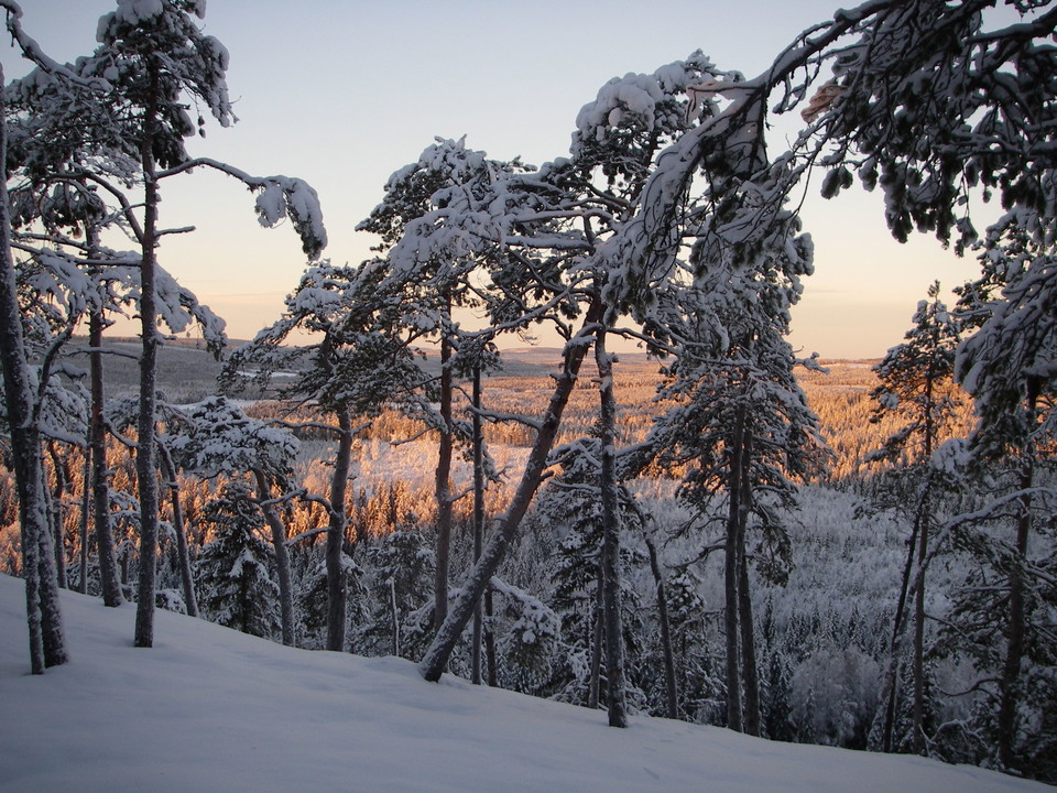
Foto: Anna Wiklund
Vorrberget
- Natuurgebied
- Regio: Västerbottens län
Acties
Omschrijving
In Vorrberget there is a timid maiden. She comes up through the ground occasionally, but not every year. She is light in colour and difficult to find.
This timid maiden in the swamp woods
This is the little ghost orchid, which lacks any green chlorophyll, which is why it is so light. Instead of absorbing sunlight using chlorophyll like other green plants, she co-operates with fungi in the soil. Many other species also thrive in the swampy ancient woodland where she lives. Traces can be seen everywhere along the path up the mountain. Rings pecked by the three-toed woodpecker can be seen on the spruce’s stems. The spruces are decked with long, hanging lichens. Old, dead trees that once upon a time were taken by fire lie all around. Some are covered by a lush layer of Heller’s notchwort and other rare mosses.
Dry forest
Higher up along the trail up the mountain, there are clear signs of the ravages of fire on the pines. The top of the mountain is located above the highest coastline. The dry, rocky ground can now only be inhabited by fluffy reindeer lichens and gnarled pines. Some of the pines are more than 300 years old. Up here, there are wonderful views over the undulating mountain landscape and a wind shelter to rest in.
Activiteiten en faciliteiten
- Natuurgebied
Routebeschrijving
Het reservaat ligt 4 km ten westen van de Windle.
Contact
E-mailadres
Länsstyrelsen Västerbotten
Organisatie-logotype

Houd er rekening mee dat sommige teksten automatisch zijn vertaald.
Ik ben hier geweest 16





Ik wil hierheen 20



Vragen en antwoorden
Stel een vraag aan andere Naturkartan gebruikers.
Beoordelingen
2 beoordelingen
- 5 :
- 4 :
- 3 :
- 2 :
- 1 :
Afbeeldingen van gebruikers
Er zijn nog geen afbeeldingen van gebruikers. Deel als eerste!

Brant kort promenad upp på berget som är bland de mest fridfulla ställen man kan besöka kring Vindeln.