
-
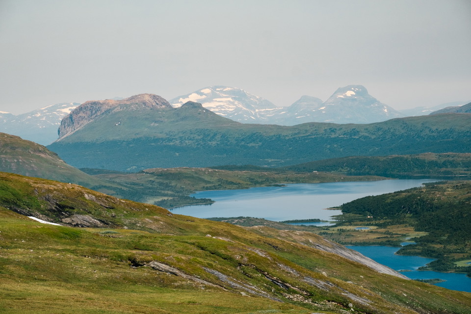
Vy in mot Norge från Stoere Tjåhke.
Foto: Oskar Karlin -
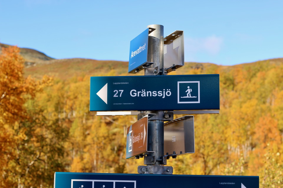
Foto: Emma Johansson -
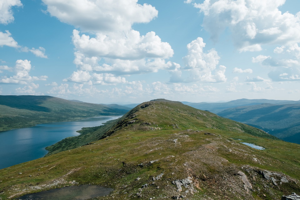
Aamere.
Foto: Oskar Karlin -
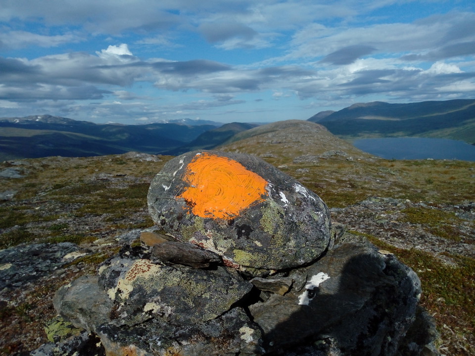
Röse på Aamere.
Foto: Andreas Karlsson -
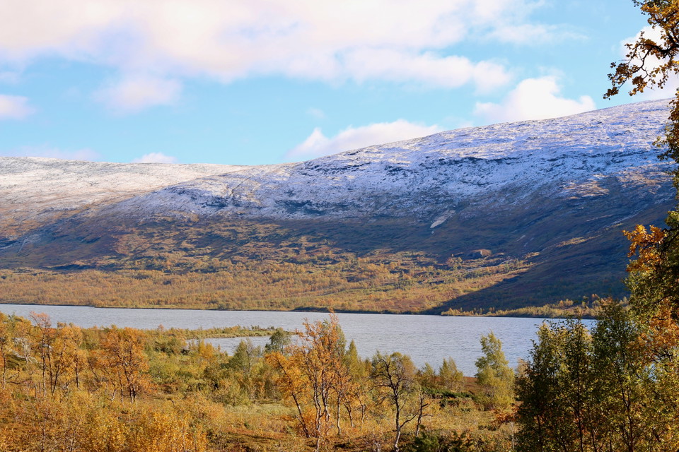
Arevattnet.
Foto: Emma Johansson
Arevattnet – Gränssjö, Lapplandsleden
- Hiking
- Regio: Västerbottens län
- 6350.31 km van u vandaan
Pad details
- Lengte 27.4 km
Acties
Omschrijving
A demanding stretch where the trail passes Arefjället 1,200 meters above sea level, one of the highest points in the Swedish mountain trail system. A hike up to the highest peak is about 50 altitude meters away.
Here the trail offers magnificent views towards Norway, deep valleys and clear waters. Almost the entire route runs on bare rock over five mountain ridges 900-1,200 meters above sea level. In between, you hike through valleys at around 700 meters above sea level. The last bit down to the car road towards Gränssjö has a fjord feel.
The best place to camp is at the beginning of the Aamere ridge, by the small tarn where the trail turns east. From here it's a 9 km hike among mountain lilies and with views down towards the Vapstälven valley until the trail comes down to Vapstsjön. Before the trail turns into the forest on the way down to Skalvattnet, there are some shelves with lush meadows that are good for camping. Note that there is not much water after the stretch. There are also nice camping spots at the outlet of Skalvattnet.
An alternative is to camp down by the road at the rest area at Vapstälven. From here it is just over 8 km to Gränssjö where it is possible to camp if you wish.
**Approximate time to hike the route: 2-3 days
Activiteiten en faciliteiten
- Hiking
Contact
E-mailadres
Länsstyrelsen Västerbotten
Organisatie-logotype

Ik ben hier geweest 3



Ik wil hierheen 20


Vragen en antwoorden
Stel een vraag aan andere Naturkartan gebruikers.
Beoordelingen
0 beoordelingen
- 5 :
- 4 :
- 3 :
- 2 :
- 1 :
Afbeeldingen van gebruikers
Er zijn nog geen afbeeldingen van gebruikers. Deel als eerste!


Vi är ett gäng som tänkte vandra delar av Lapplandsleden och tänkte bl.a ta oss upp på Stoere Tjåhke. Hur långt är det att vandra från rastplatsen vid Vapstälven till Stoere Tjåhke? Hur är terrängen och hur lång tid bör vi räkna med att det tar?
Ursäkta sent svar men kom aldrig något mail från naturkartan till oss med din fråga. Så såg det först nu i guiden. Gissar att ni redan hunnit gå sträckan. Det är ca 13 km från rastplatsen till Stoere Tjåhkke. Krävande vandring. Först upp över 900 meter och längs Ameres rygg i 9 km. Sedan ner till drygt 700 meter vid Skalvattnet. Och därefter upp igen 500 meter på drygt 2 km för att nå Stoere Tjåhkke. Med full fjällpackning är det här ca 6 timmar vandringstid exklusive pauser.