-
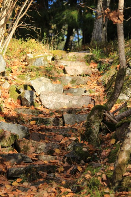
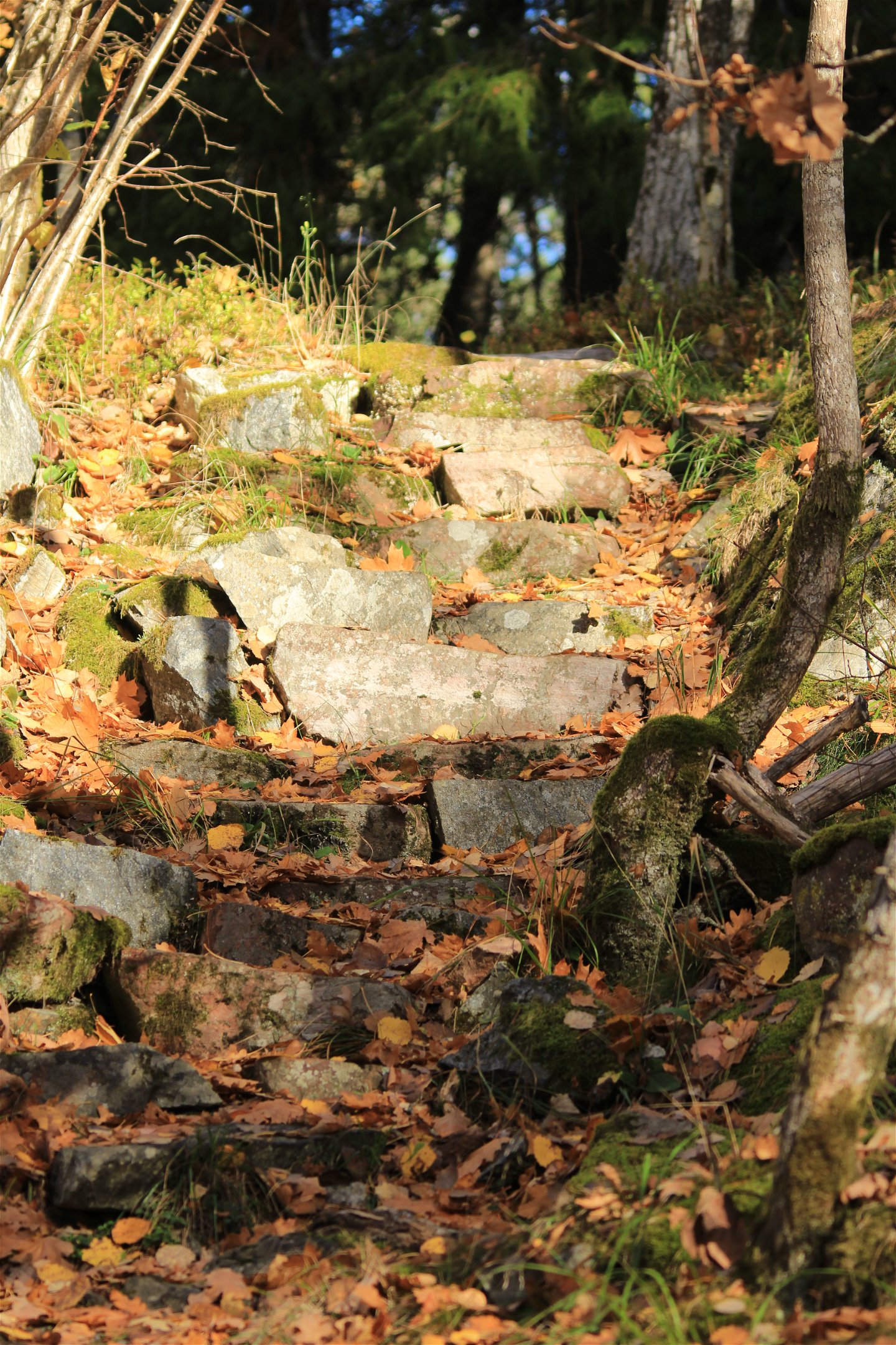
Stentrappan upp till utsiktsplatsen.
Foto: Länsstyrelsen Stockholm -

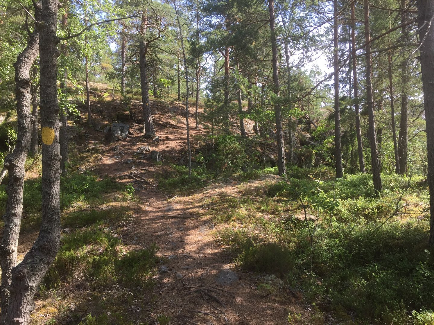
Gulmarkerad led upp till utsiktsplatsen.
Foto: Länsstyrelsen Stockholm

Vandringsstigar, Korpberget
Wandelen
- Regio: Stockholms län
- 6764.64 km van u vandaan
Pad details
- Lengte 2.3 km
Acties
Omschrijving
Take the red or yellow-marked trail to reach the lookout point on top of Korpberget mountain. It's a steep but interesting climb and many different plants and animals are found in the area. Ravens nest among the steep cliffs. The view from the top is breath-taking.
Activiteiten en faciliteiten
-
Wandelen
Feiten
Protected since: 1997
Size: 53 hectares
Character: urban, deciduous and broadleaf forest
Municipality: Södertälje, Salem
Landowners: state, AB Telgebostäder, private
Administrator: County Administrative Board
Form of protection: nature reserve
Other : Natura 2000 area Korpberget SE0110020
Routebeschrijving
It's a 700 m walk from the visitor parking lot to the trail.
You can also get to the trail from the reserve's southern entrance.
Regelingen
In order to protect the Korpberget nature reserve, please respect the following rules.
Within the reserve, it is forbidden to:
- dig, cut, blast or in any other way damage rock, soil or stone,
- fell or damage living or dead trees and bushes or remove dead wood,
- dig up plants such as shrubs, herbaceous plants, grasses, mosses or lichens, break branches or remove fungi growing on wood (picking flowers, berries and edible fungi growing on soil is allowed),
- make a fire,
- bring unleashed dogs,
- ride horses off road,
- camp for more than two consecutive nights,
- put up a poster, sign or similar or make inscriptions.
Contact
E-mailadres
Länsstyrelsen i Stockholm
Organisatie-logotype
![]()
Houd er rekening mee dat sommige teksten automatisch zijn vertaald.
Vragen en antwoorden
Stel een vraag aan andere Naturkartan gebruikers.
