-
Grillplats
Foto: Gunnar Hammar -

Bänkbord vid rastplats.
Foto: Länsstyrelsen Stockholm -

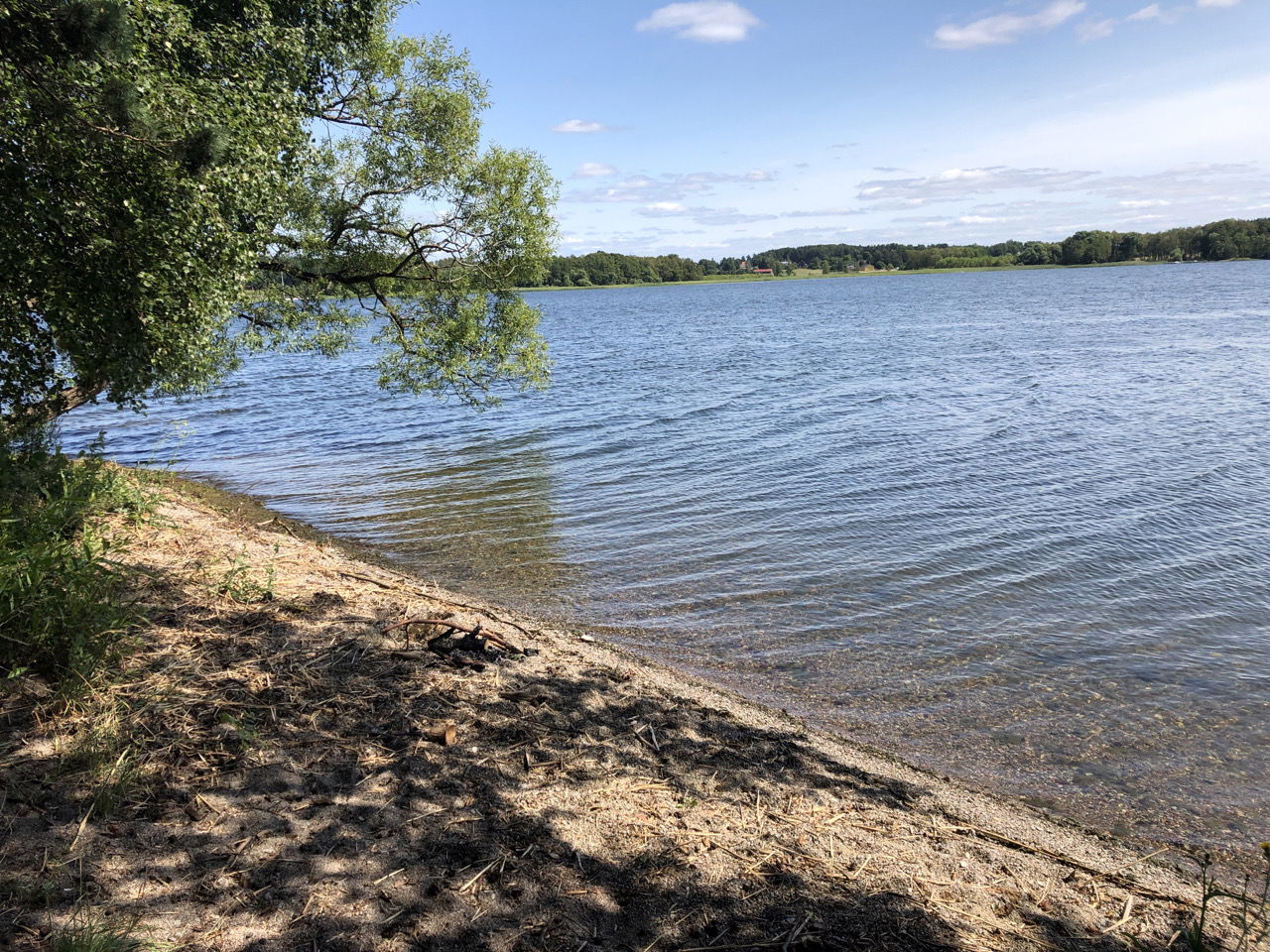
Fin utsikt över vattnet.
Foto: Länsstyrelsen Stockholm
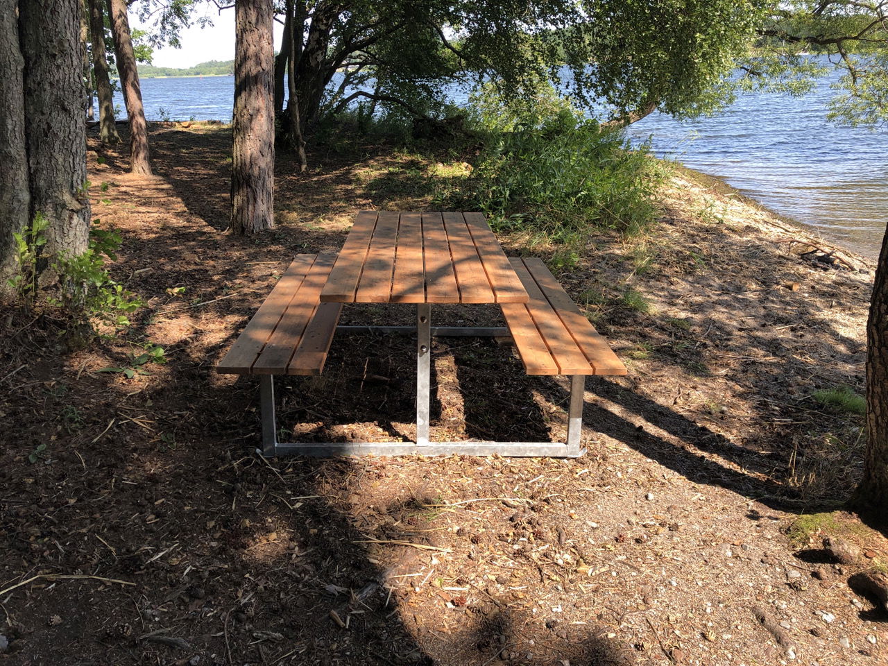

Rast- och eldplats, Bonavik
Vuurplaats
- Regio: Stockholms län
- 6778.79 km van u vandaan
Acties
Omschrijving
A picnic area with a nice view of the water. There is a fire pit and a picnic table.
Bring your own firewood if you'd like to make a fire.
Activiteiten en faciliteiten
-
 Bankje
-
Vuurplaats
-
 Rustplaats
-
 Bank tafel
Feiten
Protected since: 2007
Area: 24 hectares, of which 16 hectares are land
Landscape type: Coniferous forest, lake, geological formation
Municipality: Ekerö
Landowner: Sand & Grus AB Jehander
Management authority: Stockholm County Administrative Board
Protection status: Nature reserve
Routebeschrijving
The picnic area is located next to the Ekerö-Munsöleden trail, about 300 m from the Bonavik visitor parking lot.
Regelingen
In order to protect the Bonavik nature reserve, please respect the following rules.
Within the reserve, it is forbidden to:
- dig, cut, blast or in any other way damage rock, soil or stone,
- fell or damage living or dead trees and bushes or remove dead wood,
- dig up plants such as shrubs, herbaceous plants, grasses, mosses or lichens or remove fungi growing on wood.
It is permitted to pick flowers, berries and edible fungi growing on soil.
Contact
E-mailadres
Länsstyrelsen i Stockholm
Organisatie-logotype
![]()
Houd er rekening mee dat sommige teksten automatisch zijn vertaald.
Vragen en antwoorden
Stel een vraag aan andere Naturkartan gebruikers.
