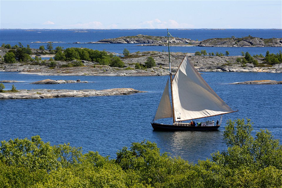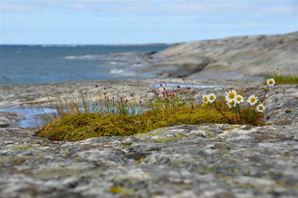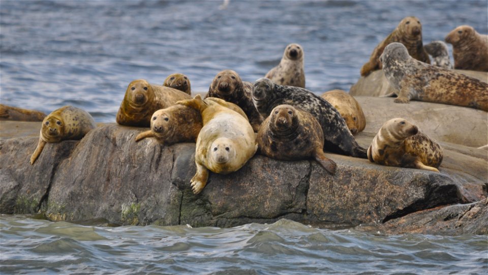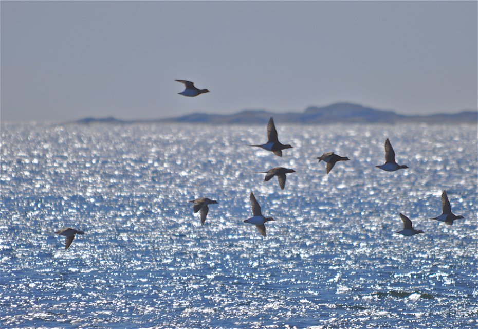
Skärgårdarna Stora Nassa–Svenska Högarna
Natuurgebied
- Regio: Stockholms län
- 6808.86 km van u vandaan
Acties
Omschrijving
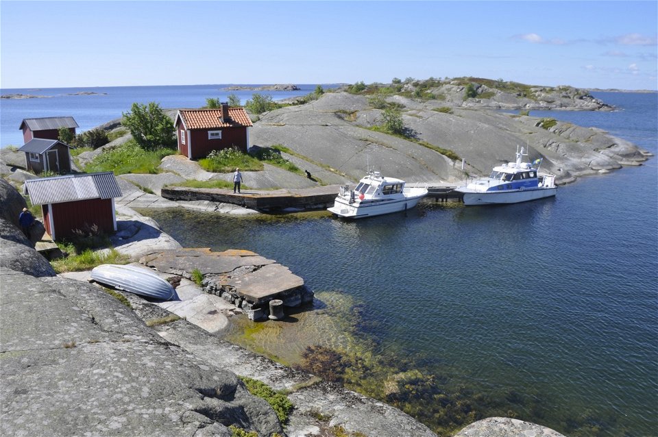
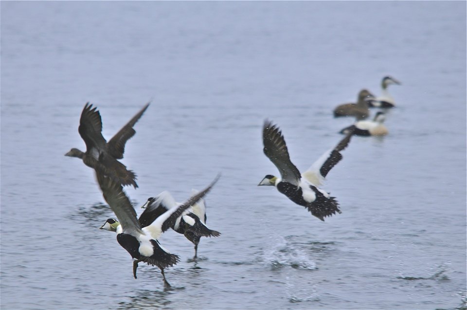
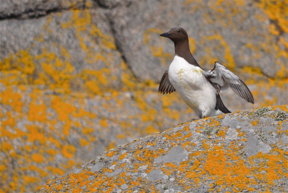
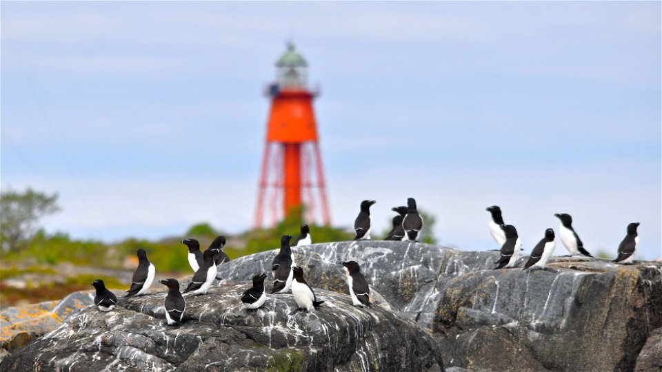
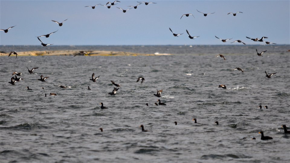
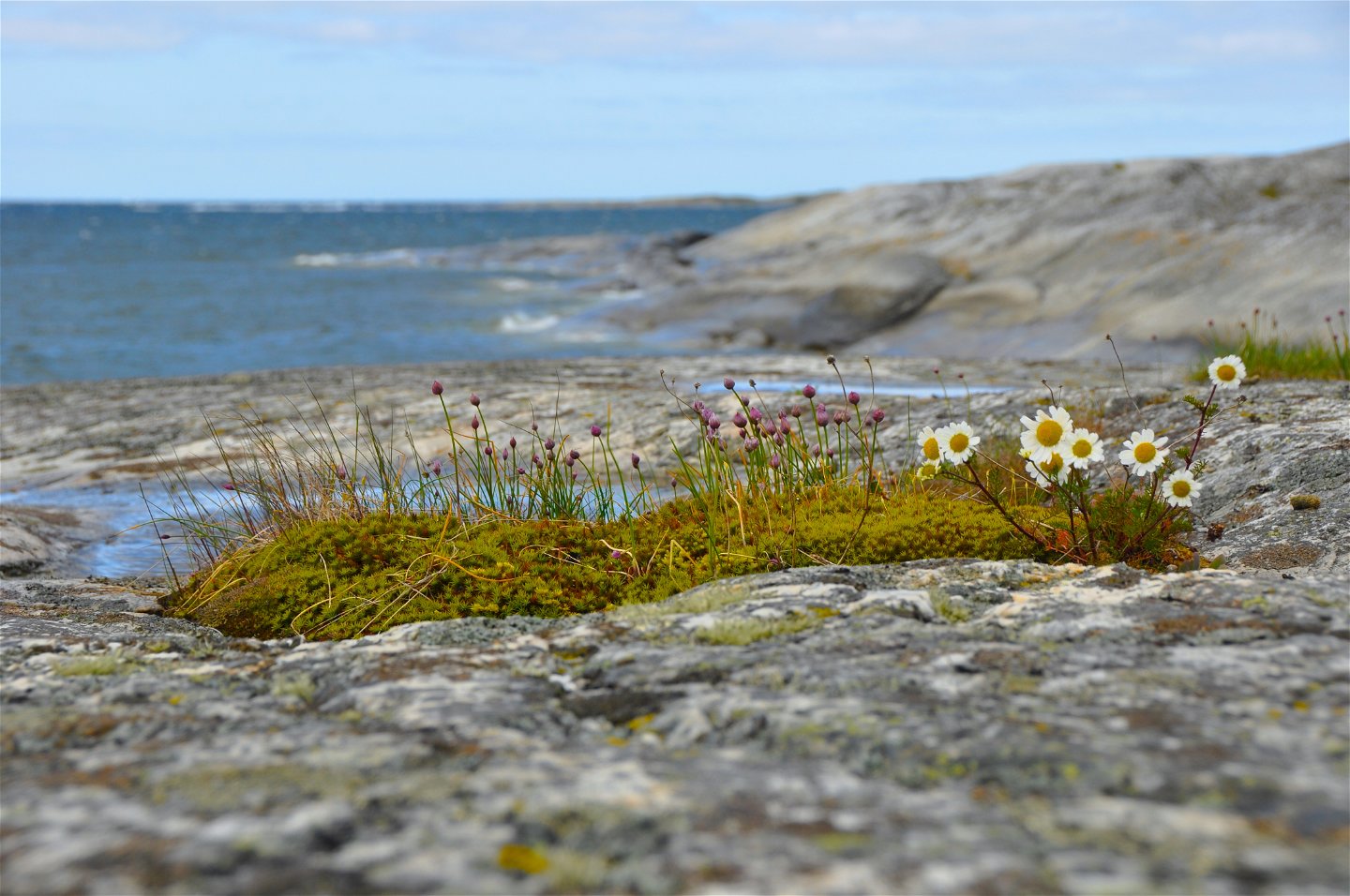
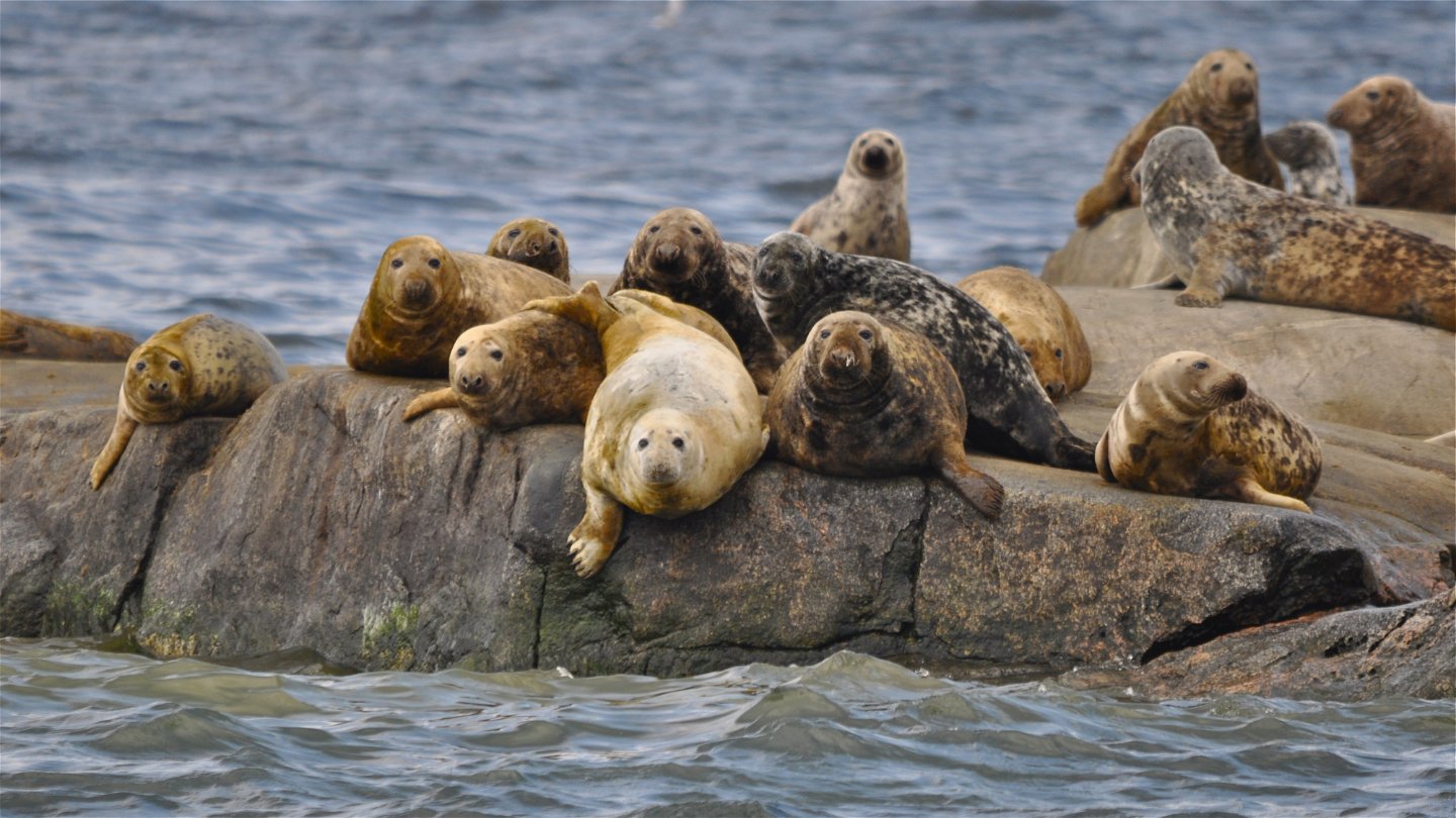
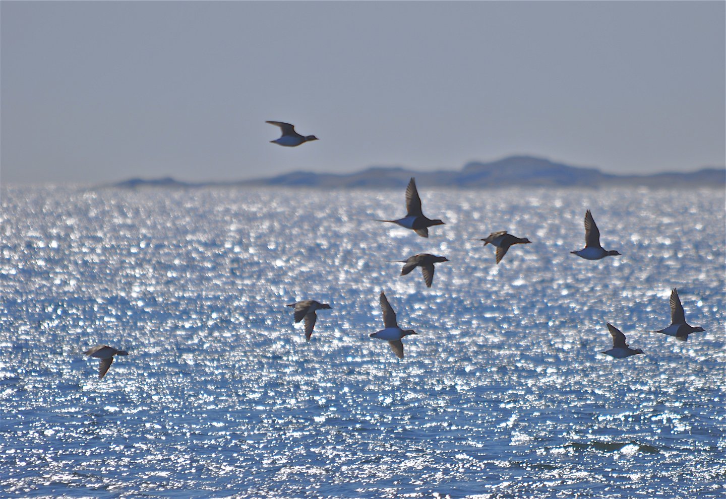
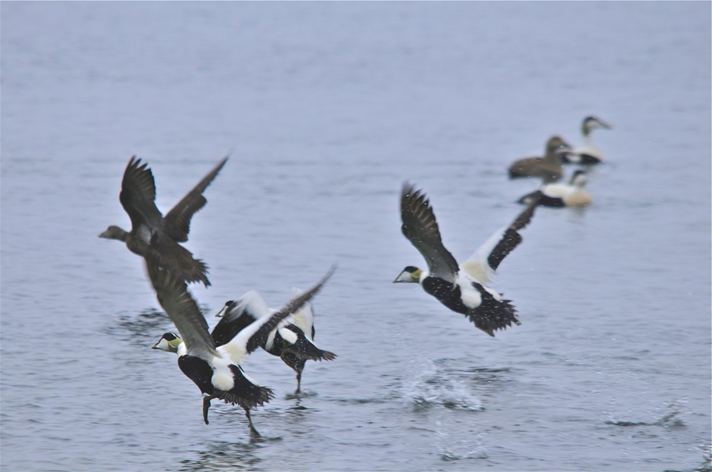
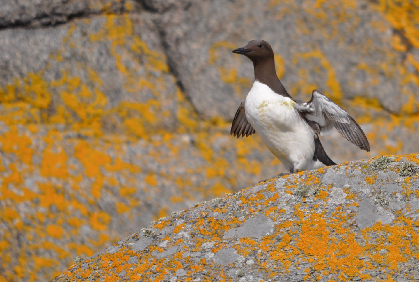
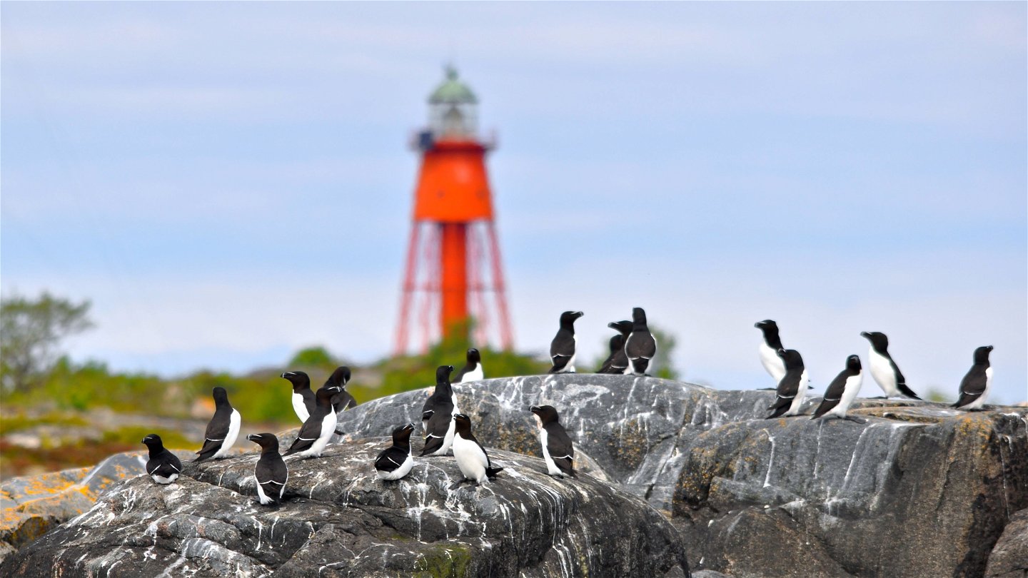
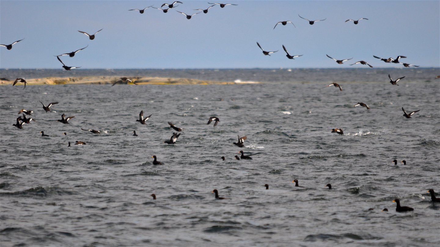
Området Stora Nassa–Svenska Högarna har pekats ut som ett särskilt skyddsvärt område i Östersjön. Detta har gjorts inom ramen för Helsingforskonventionen (Helcom), ett miljösamarbete mellan alla länder i Östersjöområdet. Helcoms utpekade områden har en särskilt storslagen och orörd natur. Områdena kan bl.a. ha en hög biologisk mångfald, innehålla viktiga rastplatser för flyttfåglar och vara viktiga platser för fiskar att hitta mat, fortplanta sig och övervintra. Områdena ska förvaltas på ett långsiktigt hållbart sätt som gynnar de biologiska värdena i området.
Besök gärna Roland Svensson-museet på Möja för skärgårdskonstnärens skildringar av området.
Activiteiten en faciliteiten
-
Recreatie gebied
-
Natuurgebied
Feiten
Protected since : 1976, extended in 2020
Size : 60 971 hectares of which land 104 hectares
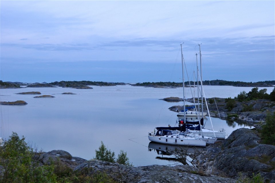
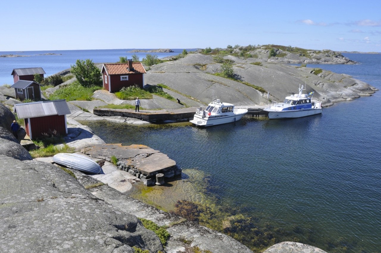
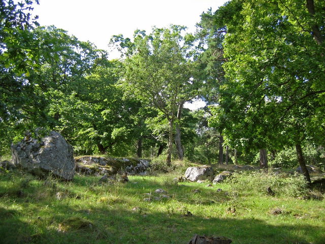
Character : archipelago, marine environments, cultural environment
Municipality : Norrtälje
Landowner: the state and the Edward Sjöblom Foundation Svenska Högarnas Fyr
Trustee : County Administrative Board
Other : Natura 2000 area Svenska högarna SE0110096
Routebeschrijving
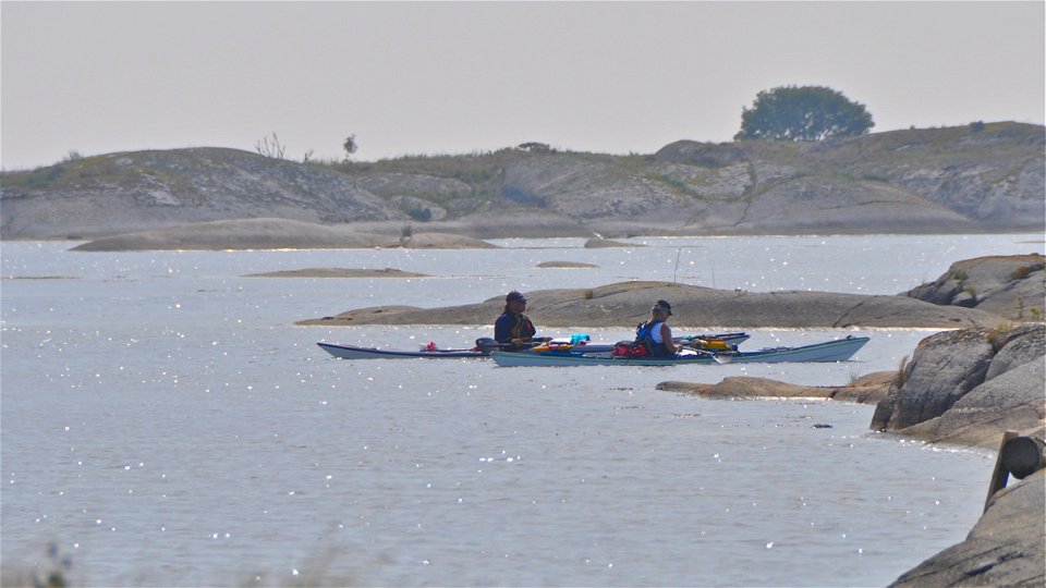
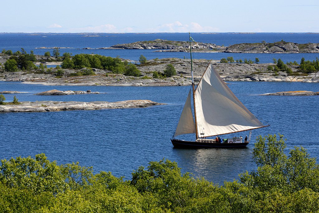
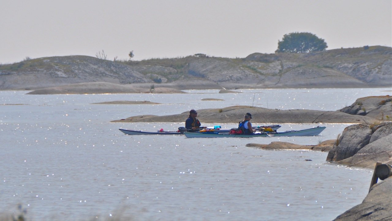
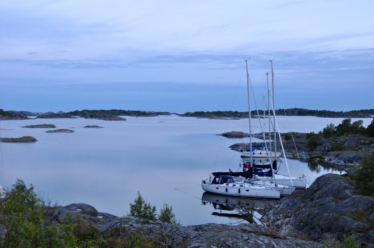
Ögruppen and Svenska högarnas nature reserve is the outermost outpost of the Stockholm archipelago facing the Baltic Sea about 35 km (about 19 nautical miles) east of Möja. The archipelago can only be reached by private boat, taxi or charter boat.
Regelingen
To protect the Swedish Highlands Nature Reserve, there are rules you must follow. The different areas A-C are shown on the decision map, which you can find via the link to decisions and management plan in the right-hand column.
In the reserve it is forbidden to:
- during the period February 1 - August 15, enter or travel or stay within area A with access prohibition as indicated on the map, Appendix 1B of the decision,
- during the period April 1 - July 31, enter or travel or stay within area B with access prohibition indicated on the map, Appendix 1B of the decision,
- during the period May 1 - June 30, enter or travel or stay within area C with access prohibition indicated on the map, Appendix 1B of the decision,
- operate a boat, ship or other watercraft within the area indicated on the map, Appendix 1C of the decision,
- operate a boat, ship or other watercraft at a speed exceeding 5 knots within the area indicated on the map, Appendix 1C of the decision,
- anchor a boat or vessel within the area indicated on the map, Appendix 1C of the decision
- fishing within the area indicated on the map, Annex 1C of the Decision
- dig, hack, carve, drill, paint, move boulders or otherwise damage rock, soil, stones or seabeds,
- breaking branches, felling or damaging living or dead trees and shrubs
- damage vegetation by digging up plants, mosses or lichens or removing attached algae or mussels
- harming or disturbing wildlife, e.g. by climbing nest trees, trapping, stalking or killing mammals, birds, reptiles or amphibians
- bringing ashore an unleashed dog or other pet animal
- light an open fire or use a barbecue other than in the designated place,
- put up a sign, poster or similar,
- camping for more than two consecutive days in the same place, other than in a designated campsite,
- moor a boat or ship on public land for more than two consecutive days at the same beach or jetty. The regulation does not apply to landowners and tenants,
- discharge sewage, tank wash water, ballast water or other liquid or solid waste from a boat or vessel
- washing the hull of a boat or vessel
- idling an engine or using an engine-driven charger at a mooring
- using a music system, musical instrument or similar in a disruptive manner
- take off or land with an aircraft
- landing with a party of more than 10 people. However, landing with larger parties may take place after consultation with the manager on the conditions for this,
- without the permission of the County Administrative Board, carry out surveys that may disturb wildlife, such as the collection or capture of organisms (including ringing), the use of sonar or other sound-generating technology.
Contact
E-mailadres
Länsstyrelsen i Stockholm
Organisatie-logotype

Houd er rekening mee dat sommige teksten automatisch zijn vertaald.
Vragen en antwoorden
Stel een vraag aan andere Naturkartan gebruikers.

