Rönne å och Ringsjön


Attractie
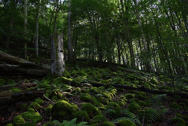
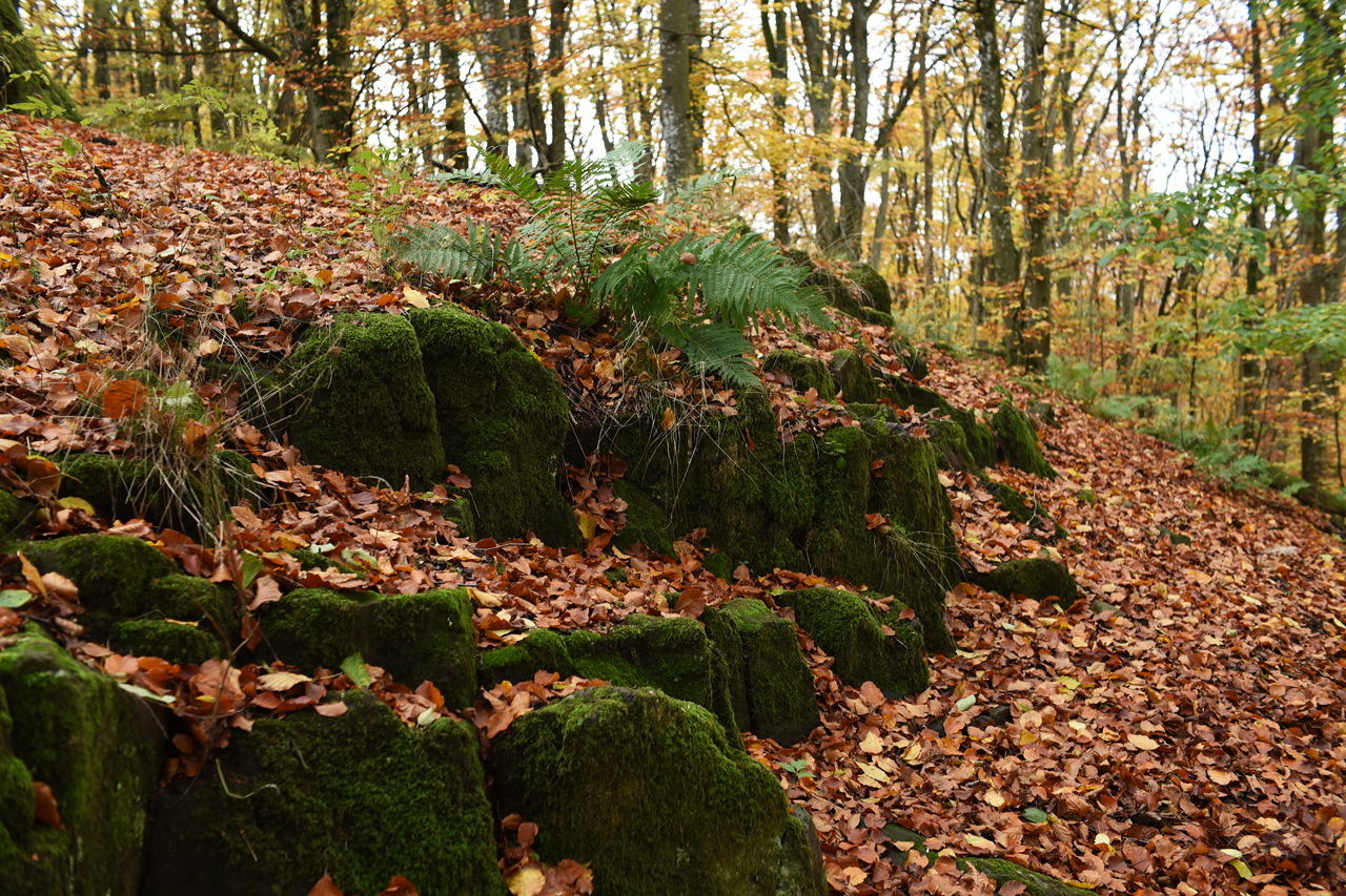
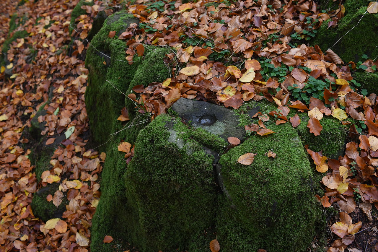
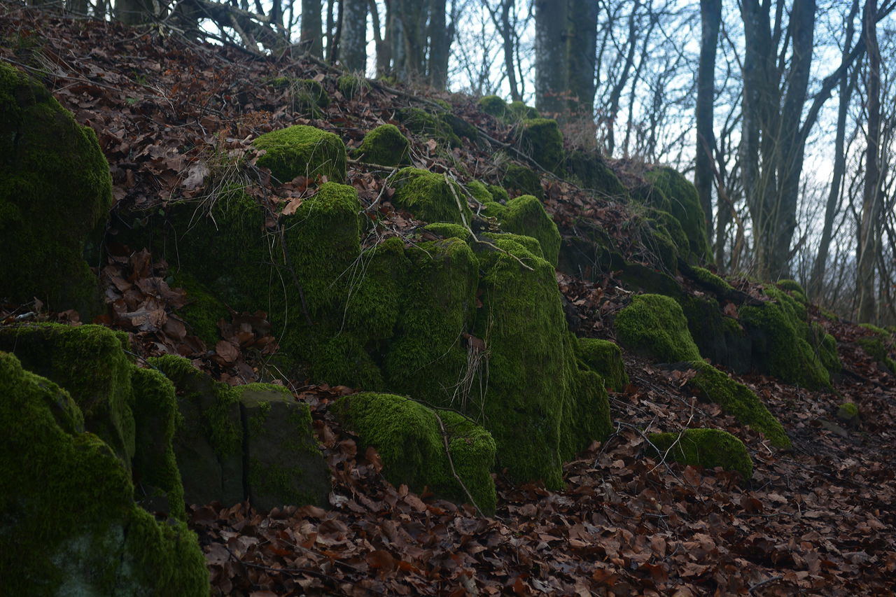
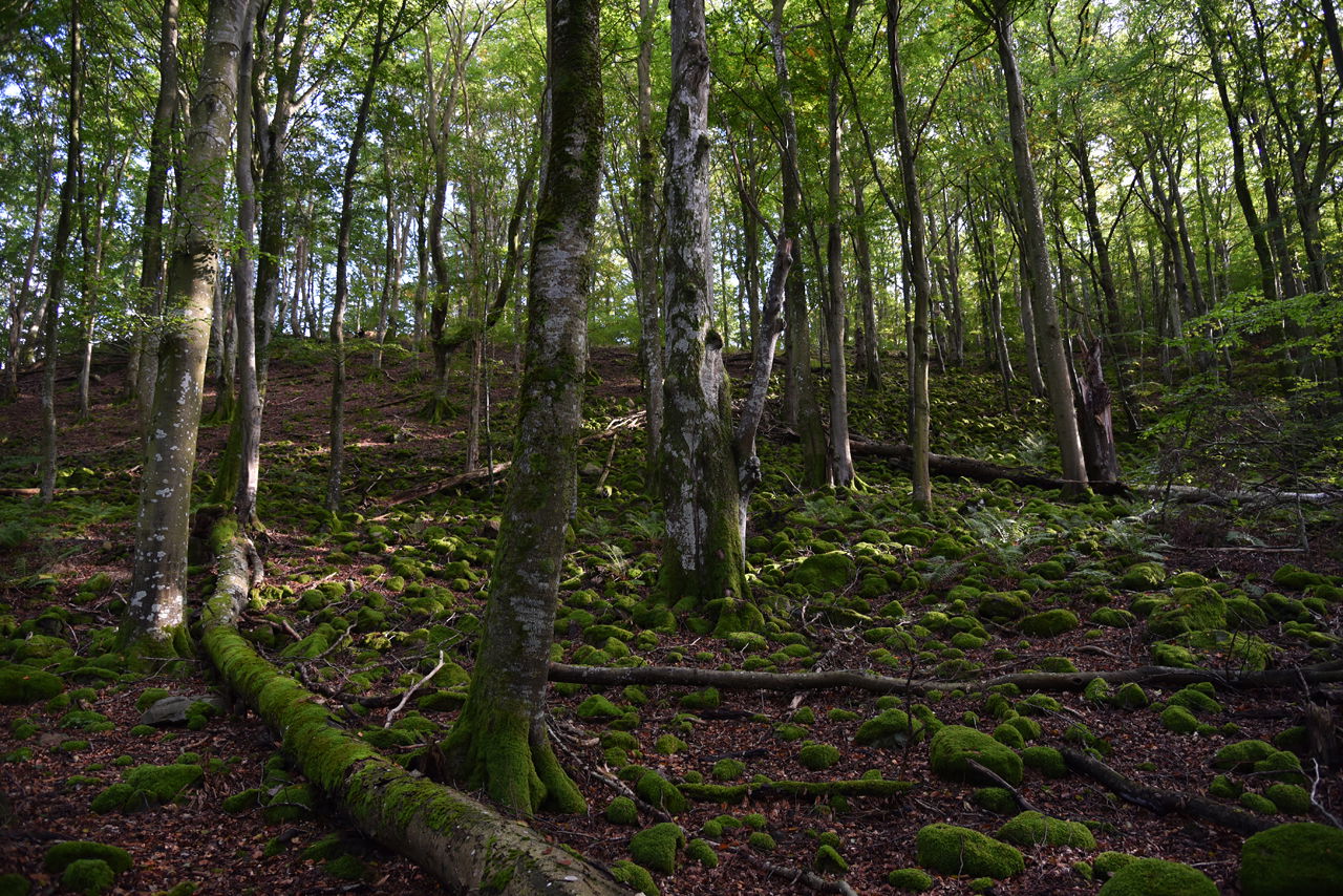
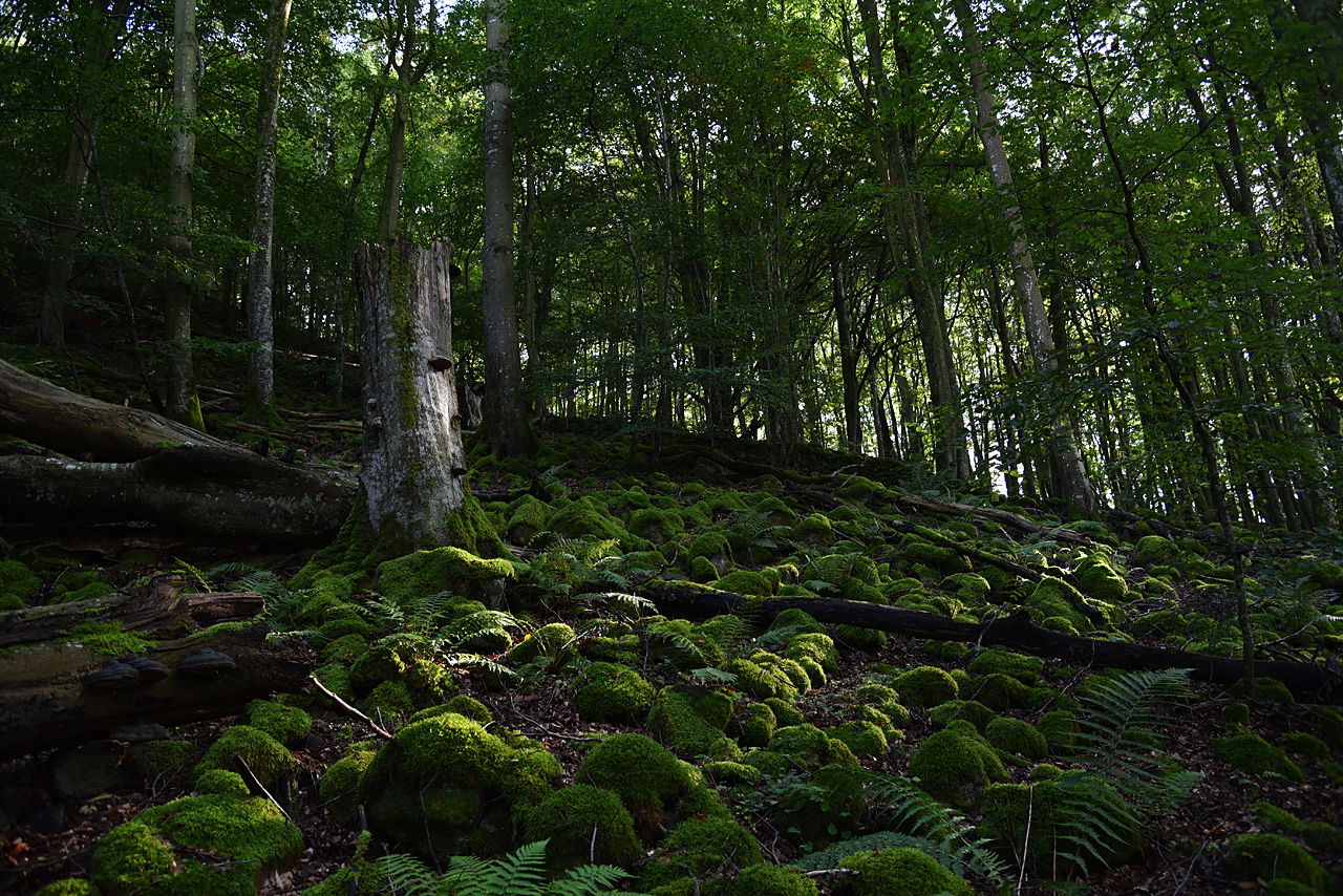
On the border between Riseberga and Röstånga parishes lies Jällabjär, one of the many volcanic mountains in central Skåne. The area is of national interest and is a nature reserve of 20 hectares.
Jällabjär has a very varied and exciting nature. The fields and pastures are among the most beautiful in the area. From them you look up to a height where basalt pillars can be seen.
Skåneleden goes over Jällabjär and the fields are worth a visit all year round, but walking through the pastures in April when they are covered with white anemones and the green wolf calls is a pure delight.
More informationJällabjär - Rönneådalen - Skånes Nordvästpassage (skanes-nordvastpassage.se)
 Beschermde natuur
 Te doen
Attractie
Te doen
Attractie
 Avontuur voor kinderen
 Nabij parkeerplaats
Jällabjär can be reached from Röstånga where there are both opportunities to eat and stay. Bus 518 runs to Röstånga from Klippan/Stehag. From the center of Röstånga it takes about half an hour to reach the reserve on foot via the road towards Färingtofta.
By car / bike you turn in Röstånga towards Färingtofta and after about a kilometer there is a sign for the nature reserve on the right. You then follow a gravel road to a signposted parking lot.GPS coordinates: 56.01046, 13.31164
You can also from Röstångas opposite the church take a smaller road towards Anderstorp's village and after a few kilometers it is signposted Jällabjär on the left. Here, too, there is a signposted parking lot with a shelter along Skåneleden.
GPS coordinates:
56.11023, 13.32812
Jällabjär is a nature reserve and the local regulations that apply are shown on information boards at the two parking lots that are the best access points. You can find information on the County Administrative Board's website and Söderåsen's National Park, which is now also responsible for the nature reserves around Söderåsen.
During the summer, the land is grazed by cows, horses and sheep. Take these into account and if you have a dog with you, keep it on a leash.SkåneledenÅs to Ås goes through Jällabjär and is marked with orange color. You can continue your hike towards Anderstorp and Natthall. There is a hiking trail in the reserve marked with blue color.
Destination Rönne å och Ringsjön
![]()
Houd er rekening mee dat sommige teksten automatisch zijn vertaald.
Stel een vraag aan andere Naturkartan gebruikers.