Runt Vättern


Pelgrimspad
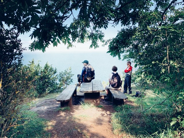
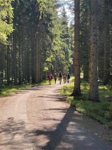
This stage
is quite demanding due to the hilly terrain, but it is very scenic. The trail
markings can be sparse at times, so keep an eye on the digital map. A good rest
spot is the SMU summer home.
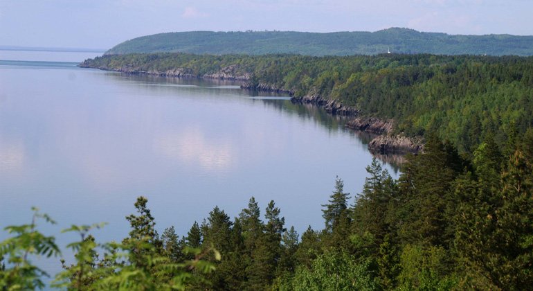
Here, St.
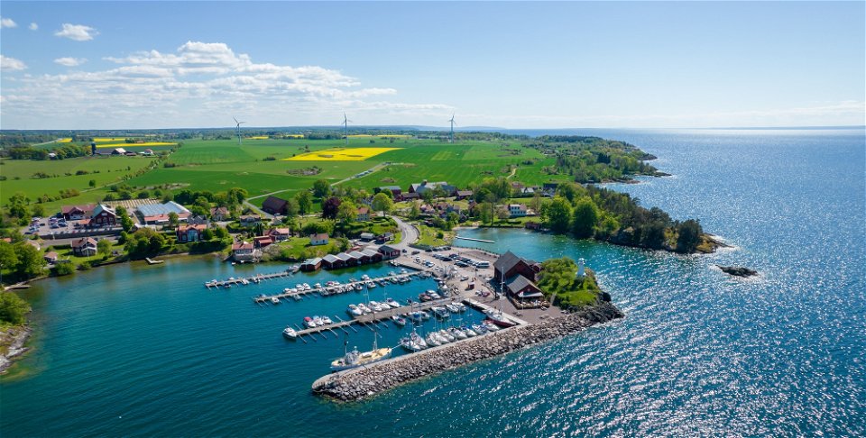
Birgitta Ways runs along the Franciscan Trail. The main attraction of this
stretch is the beautiful nature, the natural paths, and the lovely rest areas
along Lake Vättern. The landscape is somewhat hilly, where you sometimes walk
higher up with a great view of Vättern and at other times, you come down close
to the water.
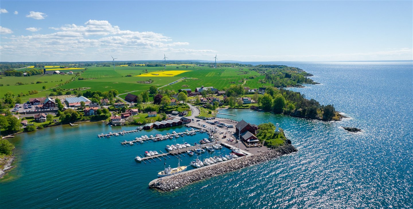
At
Stockseryd, there are well-maintained grazing lands and deciduous forests with
oak and hazel trees. The landscape is beautiful, a kind of Sweden in miniature
with meadows, lush deciduous forests, and red cottages with white trim.
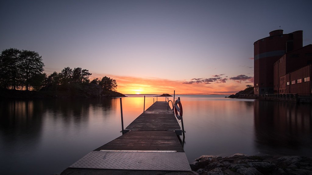
The trail
is demanding in parts but offers breathtaking views over Lake Vättern. The
trail follows the edge of Vättern, but it can be difficult to get all the way
down to the water due to the steep cliffs.
Before
reaching Ödeshög, you can choose an alternative, more scenic route via the
Orrnäs farm.
Those who
want to reach the center of Ödeshög should follow the 500-meter-long avenue
eastward to Turistvägen. Take the opportunity to look at the Svämbroarna, three
bridges side by side from three different centuries. At the crossroads, turn
left and follow Turistvägen/the old national road into the center of Ödeshög.
More
information can be found on the Franciscan Trail's website - Franciskuslenden.
(aug 2024)
 Hiking
Pelgrimspad
Hiking
Pelgrimspad
Har du frågor kring leddragningar eller intressepunkter på St. Birgitta Ways kartguide. Kontakta då Emanuel Eriksson på Pilgrimscentrum
Vadstena Pilgrimscentrum
![]()
Stel een vraag aan andere Naturkartan gebruikers.