
Runt Vättern


Pelgrimspad
This trail is only partially signposted in terrain. So pay attention and use the digital map guide as support for the walk. The trail also runs in parts on a road with traffic.
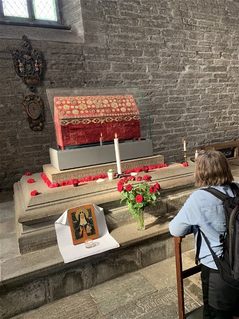
In Motala,
the Katarina Trail and the Birgitta Trail converge for a final joint day stage
towards Vadstena. This serves as a symbolic reminder of the pilgrimages taken
together by mother and daughter through Europe in the 14th century.
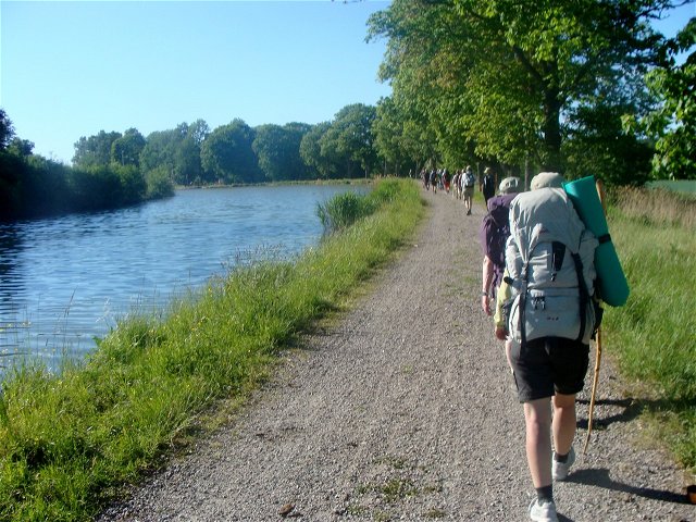
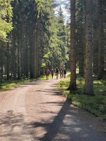
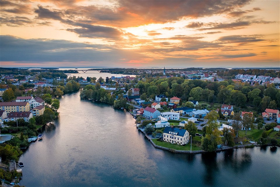
The trail
largely follows gravel roads and asphalt roads but also includes some nature
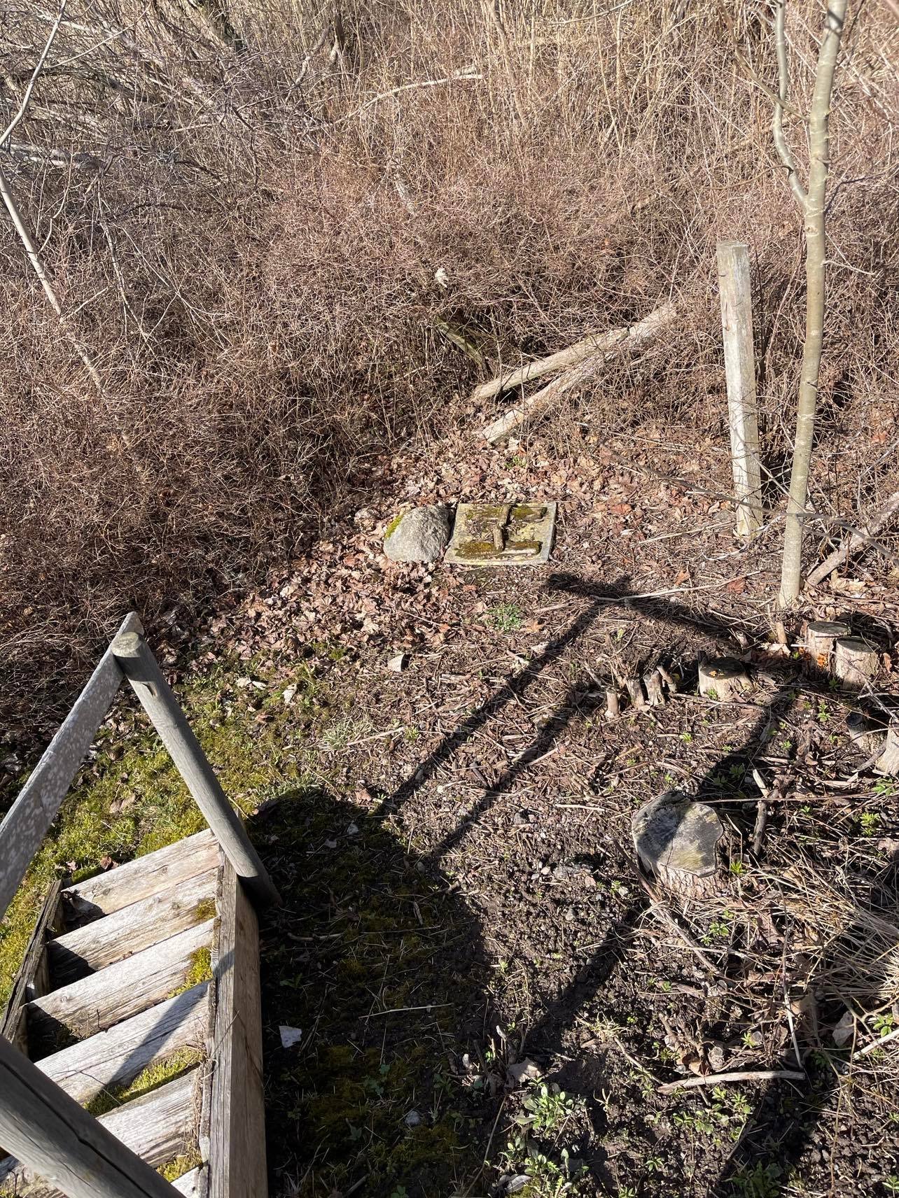
paths. During the tour, you will experience varied nature. At the edge of
Långvrån's noble deciduous forest, there is an old stone circle that serves as
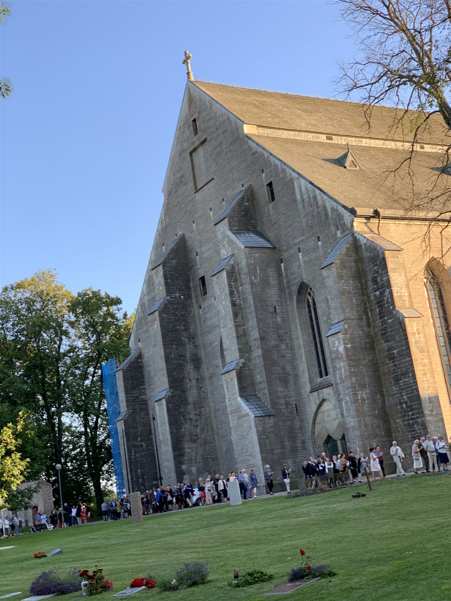
a suitable rest spot. Be cautious of traffic on the road past Hagebyhöga
Church. According to legend, pilgrims would walk barefoot from here out of
reverence to their pilgrimage destination, Vadstena. (aug 2024)
 Hiking
Pelgrimspad
Hiking
Pelgrimspad
Birgittaleden can be reached by public transport in many places. Contact Östgötatrafiken at www.ostgotatrafiken.se or 0771-21 10 10.
Har du frågor kring leddragningar eller intressepunkter på St. Birgitta Ways kartguide. Kontakta då pilgrimsutvecklare Emanuel Eriksson
Linköpings stift, Svenska kyrkan
![]()
Houd er rekening mee dat sommige teksten automatisch zijn vertaald.
Stel een vraag aan andere Naturkartan gebruikers.