Norska gränsen-Huvki, Nordkalottleden
Hiking
- Regio: Norrbottens län
- 7680.95 km van u vandaan
Pad details
- Lengte 7.0 km
Acties
Omschrijving
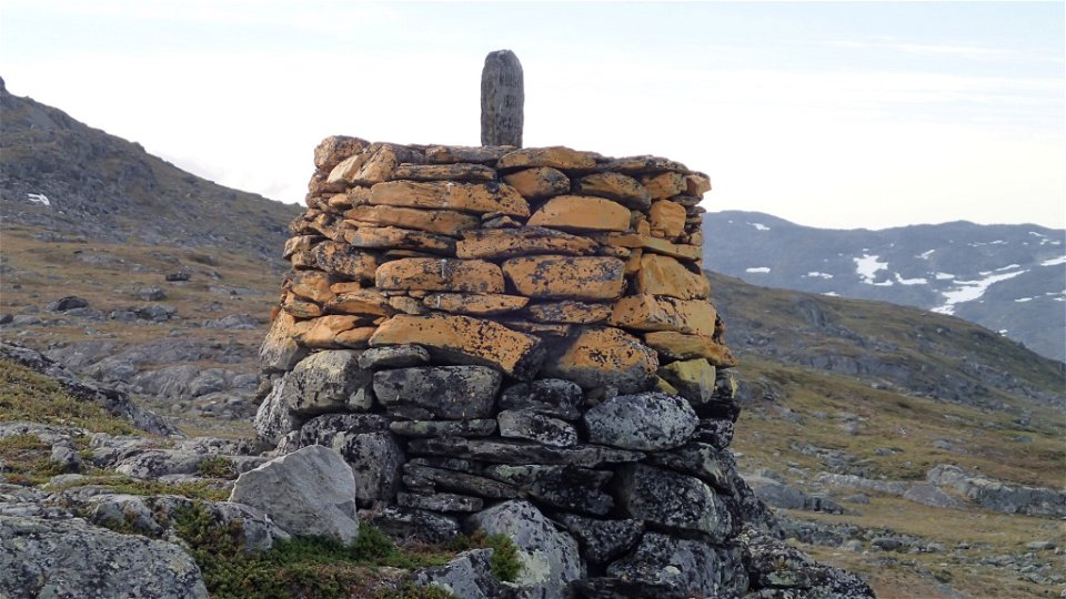
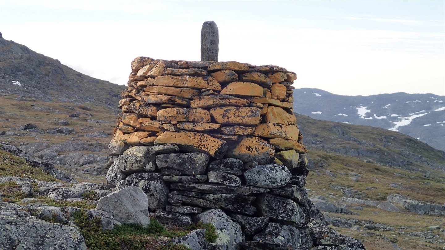
The trail starts at border cairn 259A and is clearly marked with paint on rocks and cairns. The hike is an easy one. After a gentle upward slope, the trail descends for about 1 kilometre to the suspension bridge across Gearbiljohka stream. After the bridge, it is approximately 2 more kilometres across the low fell Huvki to the trail between Duolbanjunni and Hukejaure. Just before the climb to Huvki the trail passes a reindeer fence.
The trail formerly passed Ivarsten, border cairn 259. Be alert so that you do not follow the old trail and end up too far west. On the Norwegian side, the trail continues towards Gautelishytta (8 kilometres) on the mountain slope above lakes Huvkijávri and Vanasjávri.
Duration: 2-2,5 hours
Activiteiten en faciliteiten
-
Hiking
Oppervlakte
Easily-hiked surface across moors and flat bedrock.
Contact
E-mailadres
Länsstyrelsen Norrbotten
Organisatie-logotype

Houd er rekening mee dat sommige teksten automatisch zijn vertaald.
Vragen en antwoorden
Stel een vraag aan andere Naturkartan gebruikers.


