Tväråkölen
Natuurgebied
- Regio: Norrbottens län
- 7542.02 km van u vandaan
Acties
Omschrijving
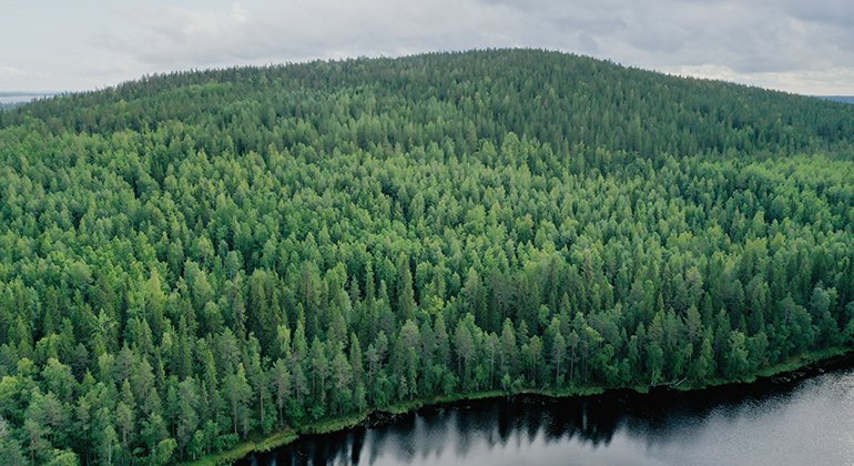
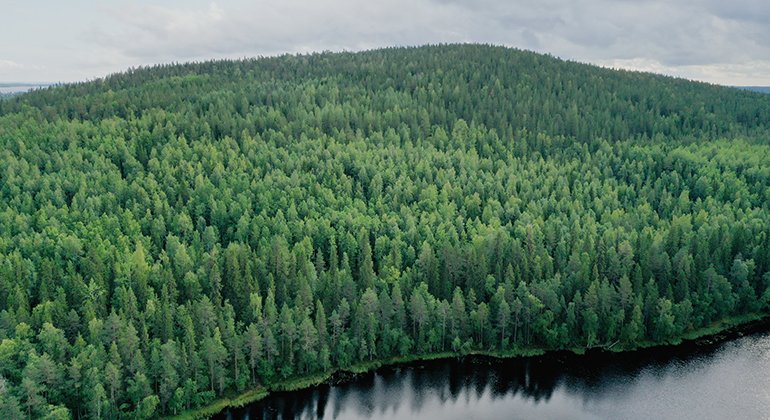
From the summit of Tväråkölen you have a beautiful view of Råne river valley. The mountain rises to 162 metres a s l. Here you find beautiful areas of exposed bedrock and shingle fields. The area is 0.9 square kilometres in size.
Activiteiten en faciliteiten
-
Natuurgebied
Feiten
Municipality: Luleå
Year of formation: 2009
Size: 0.9 square kilometers
Administrator: County Administrative Board
Form of protection: Nature reserve
Communicatie
The reserve lies about 11 kilometres northwest of Råneå community and is reached via the road between Melderstein and Vitå. There is no trail to the reserve and you must walk at least 600 metres from the road to reach the border.
Routebeschrijving
The reserve is located about 11 kilometers northwest of Råneå village. You get closest if you drive the road between Melderstein and Vitå. There is no road or path into the reserve. From Tväråkölstjärnen you can see the mountain on the other side.
Regelingen
All regulations can be found in the reserve decision. It is allowed to:
- camping
- hiking
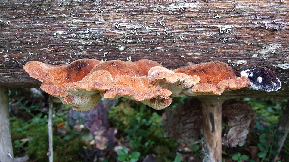
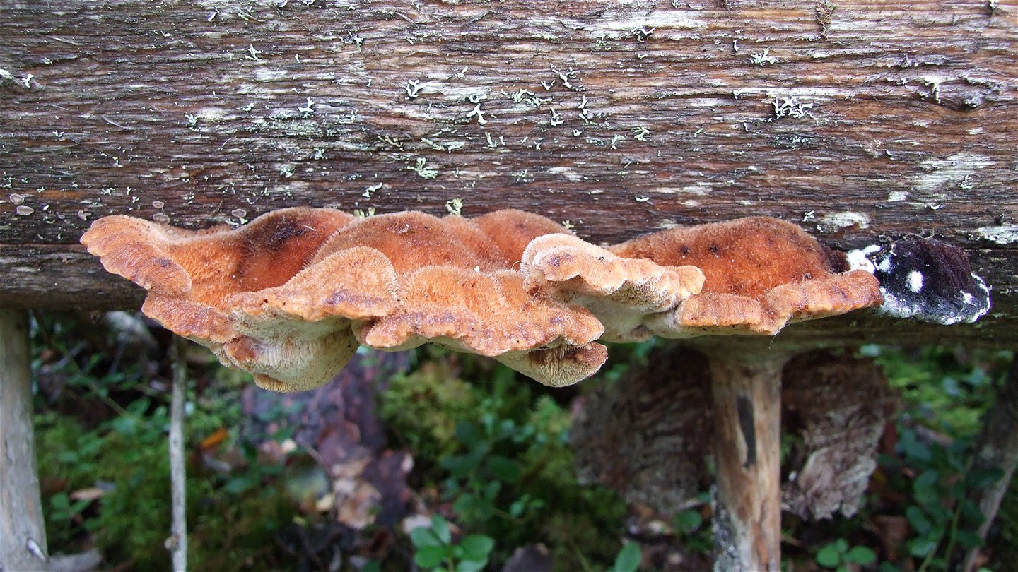
- picking berries and edible mushrooms
- drive snowmobiles on snow-covered ground
- fishing and hunting in accordance with applicable laws
It is not allowed to make fires in the reserve or to damage plant and animal life. Remember the right of public access and protect nature!
Contact
E-mailadres
Länsstyrelsen Norrbotten
Organisatie-logotype

Houd er rekening mee dat sommige teksten automatisch zijn vertaald.
Vragen en antwoorden
Stel een vraag aan andere Naturkartan gebruikers.

