Tjeggelvas
Natuurgebied
- Regio: Norrbottens län
- 7515.67 km van u vandaan
Acties
Omschrijving
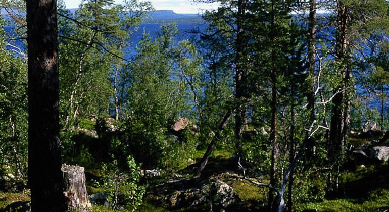
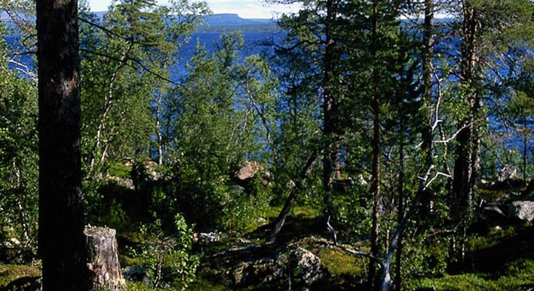
In Tjeggelvas Nature Reserve there are vast virgin forests and the large lake Tjieggelvas. It is clear and deep, a true mountain lake with large-growth char, trout, lavaret and grayling. It is also the land of the bear, the lynx and the wolverine. The river valley a with its forests is untamed and dramatic, but still a heritage landscape. At Stenudden archaeologists have found Stone Age dwelling sites. The area is 328 square kilometres in size.
Activiteiten en faciliteiten
-
Natuurgebied
Feiten
Municipality: Arjeplog
Year of formation: 1988
Size: 328 square kilometers
Administrator: County Administrative Board
Form of protection: Nature reserve, Natura 2000
Communicatie
Tjeggelvas lies about 50 kilometres north of Arjeplog. From road 95 just east of Arjeplog you turn northwards past Galtispuoda and then head westwards towards Örnvik.
Routebeschrijving
Tjeggelvas is located about 50 kilometers north of Arjeplog. From road 95 just east of Arjeplog, turn north past Galtispuoda and then west towards Örnvik.
Regelingen
All regulations can be found in the reserve decision. It is allowed to:
- hike
- camping
- make a fire
- picking berries and edible mushrooms
- driving snowmobiles on well-snow-covered ground
- fishing and hunting in accordance with applicable laws
It is not allowed to harm plant and animal life. Remember the right of public access and protect nature!
Contact
E-mailadres
Länsstyrelsen Norrbotten
Organisatie-logotype

Houd er rekening mee dat sommige teksten automatisch zijn vertaald.
Vragen en antwoorden
Stel een vraag aan andere Naturkartan gebruikers.


