

-
-

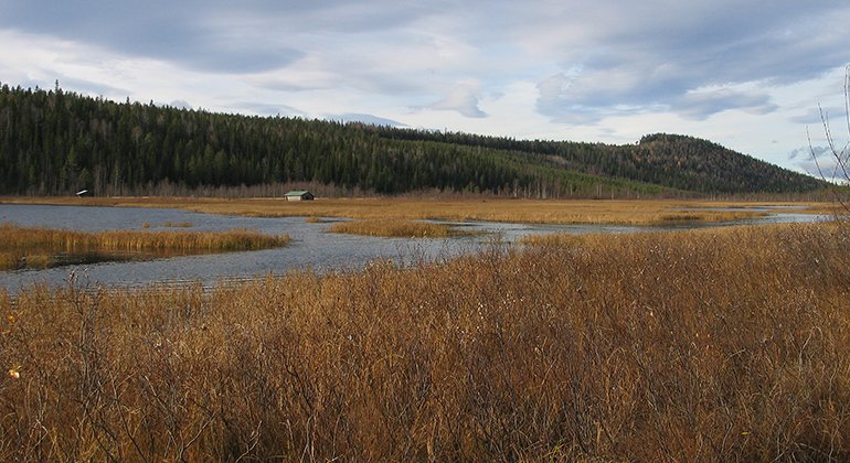
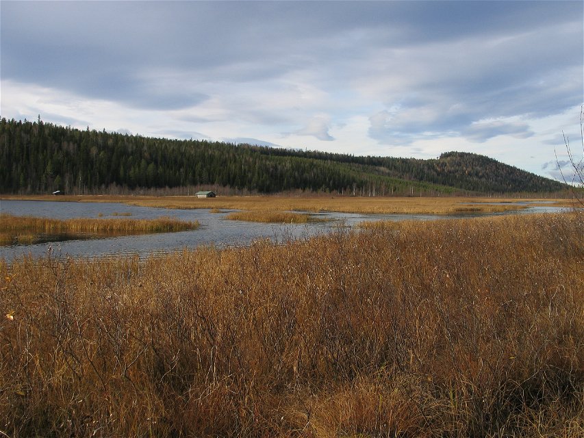
Storkrokberget.
Foto: Länsstyrelsen Norrbotten

Storkrokberget
Natuurgebied
- Regio: Norrbottens län
- 7567.42 km van u vandaan
Acties
Omschrijving
Storkrokberget, with its 307 metres a s l, is the highest mountain in Luleå Municipality, its characteristic silhouette visible from far off in Vitådalen. Here you find undisturbed coniferous forest and where there are nutrients on the slope, beautiful giant aspen grow.
Activiteiten en faciliteiten
-
Natuurgebied
Feiten
Municipality: Luleå
Year of formation: 2013
Size: 2.8 square kilometers
Administrator: County Administrative Board
Form of protection: Nature reserve
Communicatie
The reserve lies about 2 km northwest of Gunnarsbyn. The road between Långsel and Tallberg follows the east side of the reserve. There is also a logging road which leads to the southeastern part of the area, although the state of the road is unknown and can be poor.PF
Routebeschrijving
The reserve is located about 2 miles northeast of Gunnarsbyn. The road between Långsel and Tallberg runs along the eastern side of the reserve. There is also a forest road leading to the south-eastern part of the area. In 2005, the road was in relatively good condition up to the southern boundary of the reserve. However, the continuation of the road around the reserve to Storkrokberget itself was in very poor condition.
Regelingen
All regulations can be found in the reserve decision. It is permitted to: - hike - camp - drive snowmobiles on snow-covered ground - make a small fire - pick berries and edible mushrooms - fish and hunt in accordance with applicable laws
Among other things, it is not allowed to damage plant and animal life. Remember the right of public access and protect nature!
Contact
E-mailadres
Länsstyrelsen Norrbotten
Organisatie-logotype
![]()
Houd er rekening mee dat sommige teksten automatisch zijn vertaald.
Vragen en antwoorden
Stel een vraag aan andere Naturkartan gebruikers.
Beoordelingen
Misschien bent u ook geïnteresseerd in
