


-
-

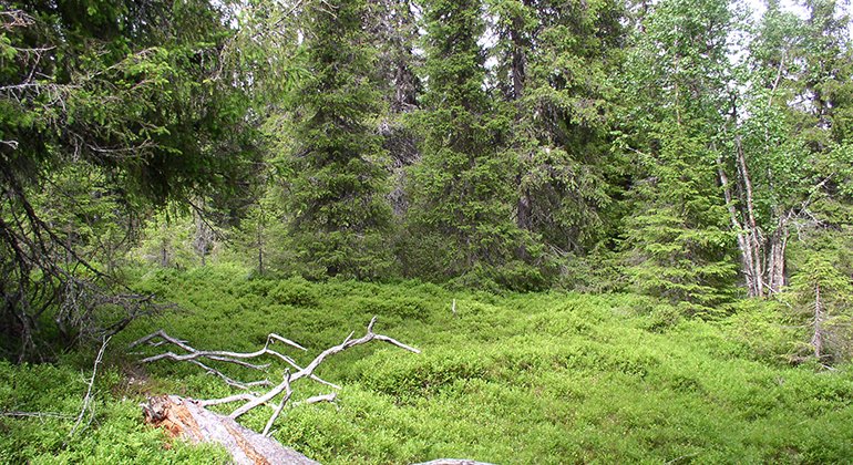
Storberget-Renberget.
Foto: Länsstyrelsen Norrbotten

Storberget-Renberget
Natuurgebied
- Regio: Norrbottens län
- 7470.89 km van u vandaan
Acties
Omschrijving
The reserve comprises Storberget and Renberget mountains with their three spruce-dominated summits in the southeast. In the north-western part there is an area of moist coniferous forest with two mires, Missenmyran and Flarkmyran. The area is 3.5 square kilometres in size.
Activiteiten en faciliteiten
-
Natuurgebied
Feiten
Municipality: Arvidsjaur
Year of formation: 2009
Size: 3.5 square kilometers
Administrator: County Administrative Board
Form of protection: Nature reserve
Communicatie
At the village of Vuotner, which lies along road 94 east of Arvidsjaur, a road leads northward and through the reserve. The road to the reserve is closed off during the spring and autumn transition. It is maintained as far as the reserve boundary, but inside the reserve it is in poor condition. There is space at the reserve boundary where you can stop/ turn.
Routebeschrijving
Storberget-Renberget is located just north of Laukersjön and Vuotnersjön, about 4 kilometers northwest of the village of Lauker in Arvidsjaur municipality. At the village of Vuotner, which is located along road 94 east of Arvidsjaur, a road runs north through the reserve. It is repaired up to the reserve boundary but inside the reserve it is in poor condition. There is a pocket where you can stop/turn at the reserve boundary. .
Regelingen
All regulations can be found in the reserve decision. It is allowed to:
- camping
- hike
- make a fire, remember to bring your own wood!
- pick berries and edible mushrooms
- drive snowmobiles on snow-covered ground
- fish and hunt in accordance with the laws in force
It is not allowed to harm plant and animal life. Remember the right of public access and protect nature!
Contact
E-mailadres
Länsstyrelsen Norrbotten
Organisatie-logotype
![]()
Houd er rekening mee dat sommige teksten automatisch zijn vertaald.
Vragen en antwoorden
Stel een vraag aan andere Naturkartan gebruikers.
Beoordelingen
Misschien bent u ook geïnteresseerd in
