Revelberget
Natuurgebied
- Regio: Norrbottens län
- 7559.15 km van u vandaan
Acties
Omschrijving
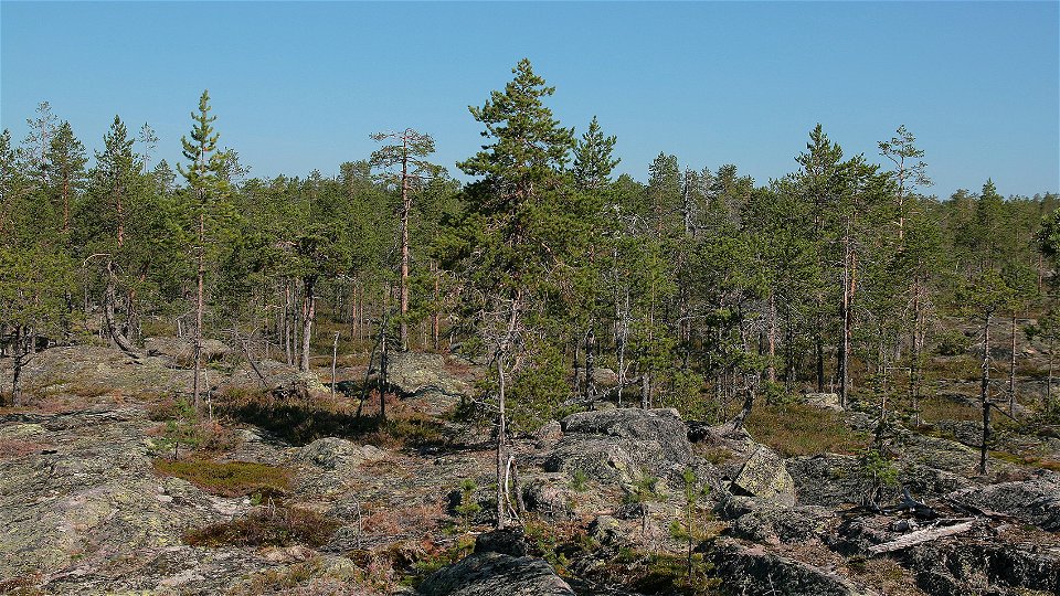
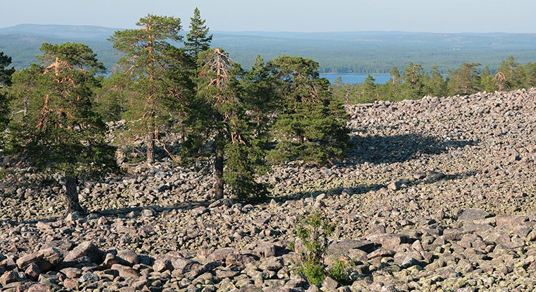
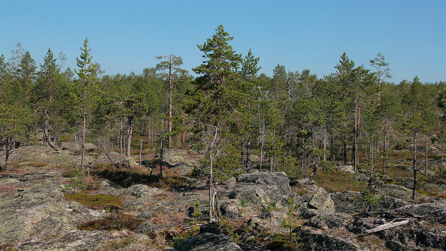
Revelberget rises above its surroundings, offering the visitor a vast panorama in every direction. Apart from the shingle field, the terrain is easily hiked and the landscaping inviting, with areas of exposed bedrock, and open, dry pine forests. The nature reserve is 3.3 square kilometres in size.
Activiteiten en faciliteiten
-
Natuurgebied
Feiten
Municipality: Kalix
Year of formation: 2012
Size: 3.3 square kilometers
Administrator: County Administrative Board
Form of protection: Nature reserve
Communicatie
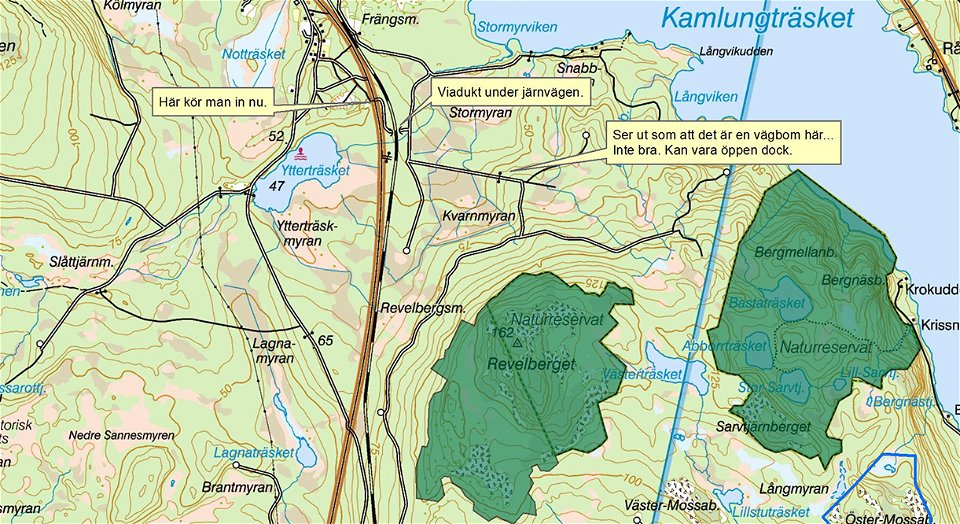
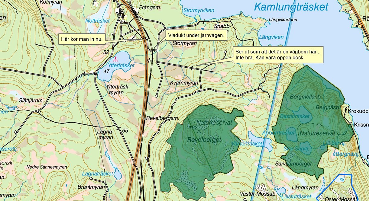
The reserve lies south of Morjärv, on the east side of the E10. About 8 kilometres south of Morjärv, at Lagnaträsk, turn off from the E10 in on to a logging road. You can drive as far as the railway. From there, it is a 1 km walk.
Routebeschrijving
The reserve is located south of Morjärv, on the east side of the E10. Two kilometers south of Morjärv there is a turn-off to the east from the E10. The road then goes through a viaduct under the railway and on towards Revelberget. There may be a road barrier along the forest road. It is also possible to turn off the E10 about 8 kilometers south of Morjärv, at Lagnaträsk. The forest road has been cut off at the railway, one kilometer from Revelberget.
Regelingen
All regulations can be found in the reserve decision. It is allowed to:
- hike
- camping
- picking berries and edible mushrooms
- build a small fire
- drive a snowmobile on well-snowed ground
- fishing and hunting in accordance with the laws in force
It is not allowed to harm plant and animal life. Remember the right of public access and protect nature!
Contact
E-mailadres
Länsstyrelsen Norrbotten
Organisatie-logotype

Houd er rekening mee dat sommige teksten automatisch zijn vertaald.
Vragen en antwoorden
Stel een vraag aan andere Naturkartan gebruikers.

