Mellersta Hällberget
Natuurgebied
- Regio: Norrbottens län
- 7616.34 km van u vandaan
Acties
Omschrijving
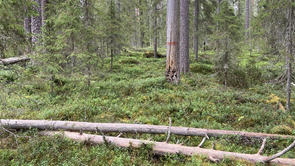
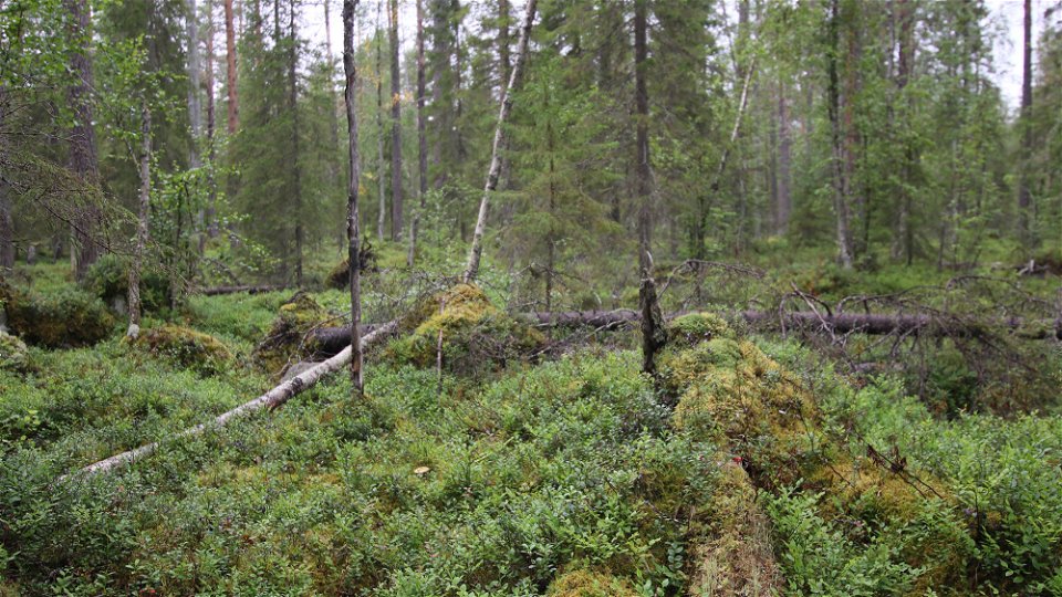
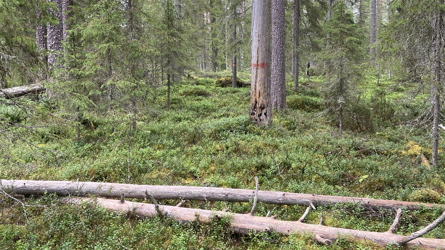
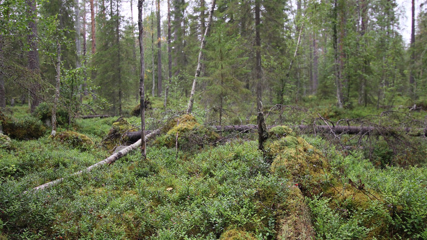
The forest here is mainly pine forest and some of the pines are 400 years or older. A trail runs through the reserve to the north-eastern corner of Mellersta Hällberget. The area is 0.2 square kilometres in size.
Activiteiten en faciliteiten
-
Natuurgebied
Feiten
Municipality: Överkalix
Year of formation: 1997
Size: 0.2 square kilometers
Administrator: County Administrative Board
Form of protection: Nature reserve, Natura 2000
Communicatie
The reserve lies about 30 kilometres northwest of Övertorneå, in Överkalix Municipality. From Nordanberget east of Lomträsk a logging road leads northwards to Hällberget. A wall of about 700 metres gets you to the reserve boundary.
Routebeschrijving
The reserve is located about 30 kilometers northwest of Övertorneå. From Nordanberget east of Lomträsk, a forest road goes north towards Hällberget. A walk of about 700 meters takes you to the reserve boundary.
Regelingen
All regulations can be found in the reserve decision. It is allowed to:
- hiking - camping - making fires - picking berries and edible mushrooms - driving snowmobiles on snow-covered ground - fishing and hunting in accordance with the laws in force
It is not allowed to damage plant and animal life. Remember the right of public access and protect nature!
Contact
E-mailadres
Länsstyrelsen Norrbotten
Organisatie-logotype

Houd er rekening mee dat sommige teksten automatisch zijn vertaald.
Vragen en antwoorden
Stel een vraag aan andere Naturkartan gebruikers.


