Ahmasaajo
Natuurgebied
- Regio: Norrbottens län
- 7655.58 km van u vandaan
Acties
Omschrijving
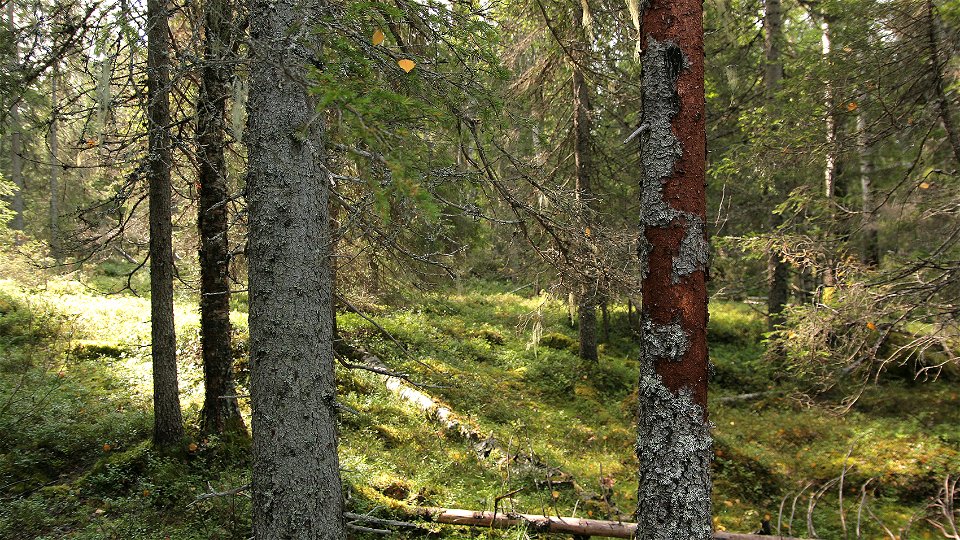
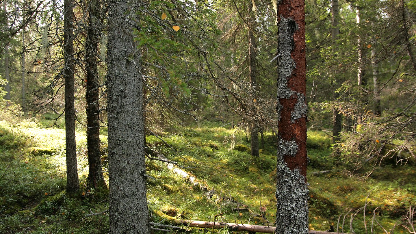
On Ahmasaajo mountain grows an undisturbed, fire scarred coniferous forest. Together with a mire area, it forms a sanctuary for many species that are marginalised in otherwise heavily impacted landscape. Traces of the Three-toed Woodpecker can be seen here and there on spruce that is partly stripped of bark. The area is 0.9 square kilometres in size.
Activiteiten en faciliteiten
-
Natuurgebied
Feiten
Municipality: Övertorneå
Year formed: 2010
Size: 0.9 square kilometers
Administrator: County Administrative Board
Form of protection: Nature reserve
Communicatie
Ahmasaajo lies 15 kilometres west of Pello, in Övertorneå Municipality. The nearest community is Aapua. From there, a road runs south. Turn to the left after about 6 km and follow the road to the end. Then walk about 350 metres to the reserve.
Routebeschrijving
Ahmasaajo is located about 30 kilometers north-northwest of Svanstein and about 15 kilometers west of Pello in Övertorneå municipality. The nearest community is Aapua. From there, a road goes south. Turn left after about 6 kilometers and follow the road to its end which is about 350 meters from the reserve.
Regelingen
All regulations can be found in the reserve decision. It is allowed to:
- hiking - camping - making fires - picking berries and edible mushrooms - driving snowmobiles on snow-covered ground - fishing and hunting in accordance with the laws in force
It is not allowed to damage plant and animal life. Remember the right of public access and protect nature!
Contact
E-mailadres
Länsstyrelsen Norrbotten
Organisatie-logotype

Houd er rekening mee dat sommige teksten automatisch zijn vertaald.
Vragen en antwoorden
Stel een vraag aan andere Naturkartan gebruikers.


