Gruvtrampen
Hiking
- Regio: Dalarnas län
- 6804.47 km van u vandaan
Pad details
- Lengte 22.0 km
- Moeilijkheidsgraad Rood - veeleisend
Acties
Omschrijving
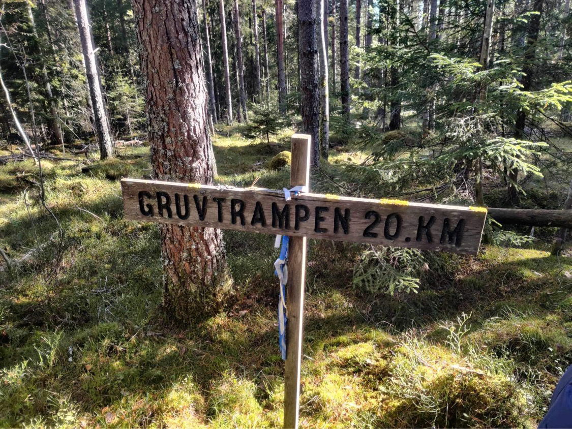
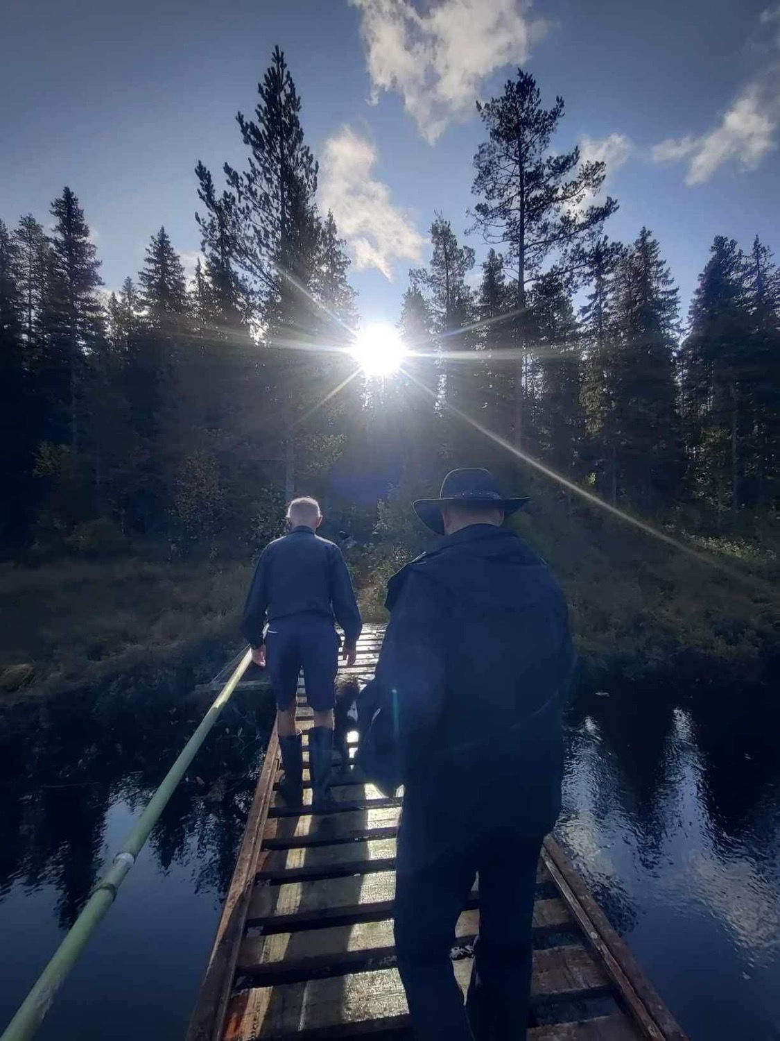
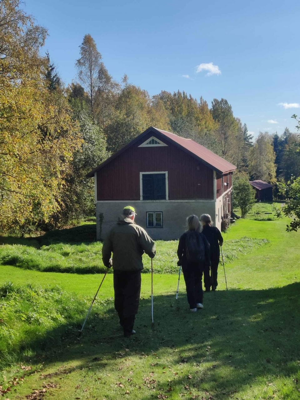
The Gruvtrampen is a 22-kilometer scenic hike on paths and roads, over mountains, hills and bogs. The trail runs between Skattlösberg and Cassels in Grängesberg.
The Gruvtrampen under the auspices of the Grängesberg Local History Society was started in 1972. With this activity, the guild wanted to remind people of the hard life that the Finnmark people had to live for their livelihood. People went to Grängesberg from their croft, usually a tenant croft, to work in the mine six days a week. They lived there, preferably in barracks.
They walked all year round, always with a rucksack on their back with clothes and supplies for one or more weeks. At home, there was usually a wife and a large number of children waiting.
The trail runs between Skattlösberg and Grängesberg and runs entirely through the southern part of Grangärde parish. Every year on the last Sunday in September, Gruvtrampen is organized under the auspices of Grängesberg's hometown guild with nice hiking friends and refreshments at various places along the way.
By following the Nature Map and the trail, it is possible to walk the 22-kilometer route all year round, which offers a scenic walk on paths and roads, over mountains, hills and bogs.
Activiteiten en faciliteiten
-
Hiking
Feiten
- E-mail: info@grangesgille.se
- Contact person: Grängesbergs hembygdsgille
- Phone: 0706289996
Routebeschrijving
Parking in Skattlösberg.
Downloads
Houd er rekening mee dat sommige teksten automatisch zijn vertaald.
Vragen en antwoorden
Stel een vraag aan andere Naturkartan gebruikers.


