Mörrumsåns dalgång, Naturreservat
Natuurgebied
- Regio: Blekinge län
- 6394.53 km van u vandaan
Acties
Omschrijving
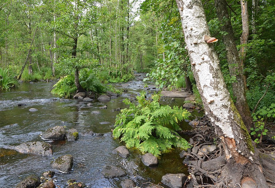
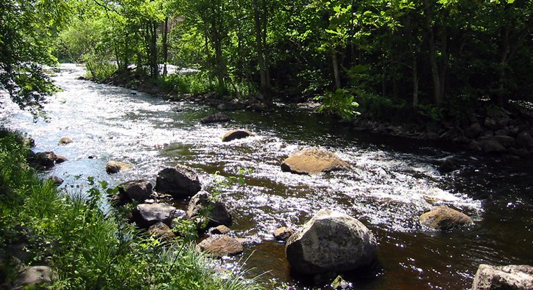
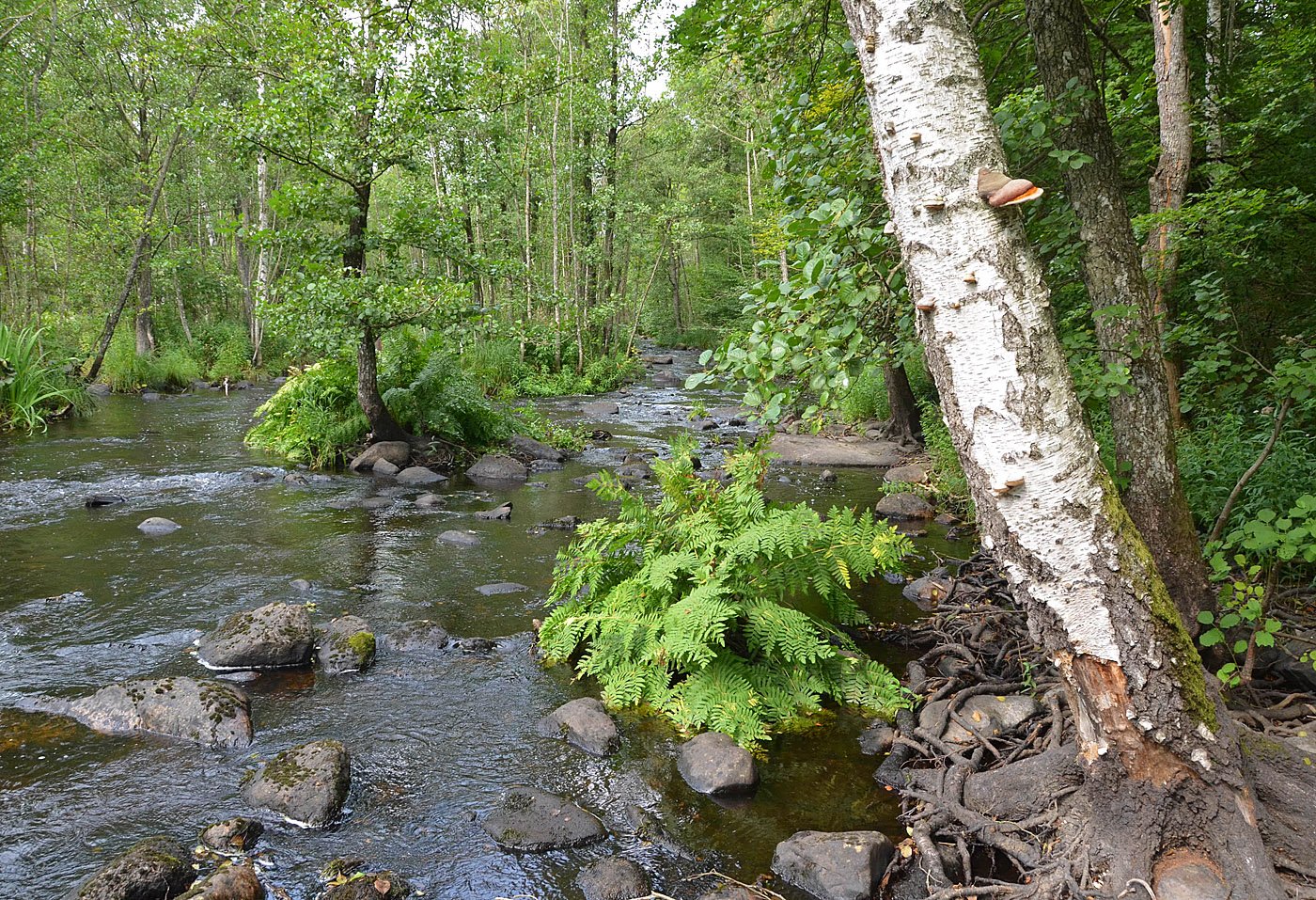
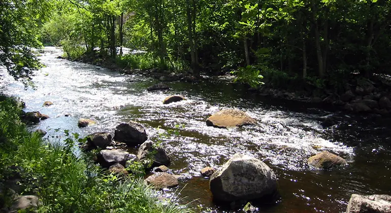
The Mörrumsåns dalgång nature reserve stretches 11 kilometres along the Mörrumsån river valley from Svängsta in the south up to Hemsjö in the north. Mörrumsån is the biggest river in Blekinge and one of the most species-rich rivers in Sweden. The river is home to salmon, brown trout and the freshwater pearl mussel.
Activiteiten en faciliteiten
-
Natuurgebied
Feiten
Year of protection: 2008, extended 2020
Municipalities: Karlshamn and Olofström
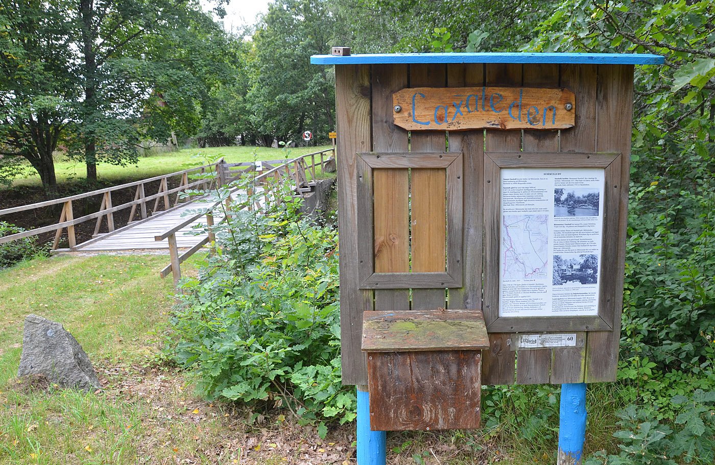
Characteristics: Rift valley landscape, river valley, Mörrumsån, deciduous forest, natural pasture, hay meadow, cultural history, outdoor life
Area: 313 hectares, of which 260 hectares are land and 53 hectares water
Landowners: State, companies and private
Manager: Blekinge County Administrative Board
Form of protection: Nature reserve and partly Natura 2000
Routebeschrijving
The nature reserve stretches for just over a mile along both sides of the Mörrum River, from Svängsta in the south to Hemsjö in the north. Take county road 126 north from Karlshamn towards Ryd. Reserve parking lots are located in Svängsta (on the west side of the river just north of the old Halda factory), Åkeholm, Susekull and Knaggalid.The nearest bus stops are "Svängsta centrum", "Åkeholm", "Hallandsboda" and "Hemsjö".
Regelingen
You are welcome to visit the Mörrumsån valley, but please note that it is not allowed to
- dig or damage solid natural objects or surface formations
- remove or damage cultural-historical remains, such as cultivation cairns, stone walls, fencing, hollow ways, older remains of buildings or fixed fish
- felling or otherwise damaging living or dead standing or lying trees and shrubs or removing dead wood from woodlands
- pick mosses, lichens or wood-living fungi, dig up plants, other than for scientific research and then only after permission from the County Administrative Board
- capture or collect animals in such a way that their biotopes or reproductive environments are damaged or destroyed
- planting plant and animal species alien to the area, or breeds/types genetically alien to the area
- start fires, with the exception of fires in designated barbecue areas or in alcohol and gas kitchens
- drive motor vehicles off roads authorized for motor vehicle traffic, other than in connection with the transport of fallen game with a so-called moose tractor or equivalent
- ride a bicycle other than on roads
- ride or drive a horse other than on roads open to motorized traffic (with the permission of the landowner, however, horseback riding may take place on dirt roads or land designated as cultivated fodder land or fields according to the established management plan).
- camping in pastures, hayfields or arable land. In woodlands, camping is permitted in accordance with the rules on public access
- pitching a caravan or motorhome for more than one day, and then only in a designated parking lot
- permanently mooring a boat or other craft other than in designated areas.
Without permission from the county administrative board, you may not
- collect butterflies and beetles
- conduct scientific research involving sampling or installation of equipment
- investigate the presence of mineral substances
- use the area for competitions, exercises, camps or other activities that may disturb the natural environment or outdoor recreation
- erecting a board, sign, inscription, poster, signpost or similar device.
Contact
E-mailadres
Länsstyrelsen Blekinge
Organisatie-logotype

Houd er rekening mee dat sommige teksten automatisch zijn vertaald.
Vragen en antwoorden
Stel een vraag aan andere Naturkartan gebruikers.

