

Segla ARK56
Huvudleden i ARK56 segelled tar dig igenom hela Blekinges skärgård från Karlshamn till Kristianopel. Den…


Waterweg
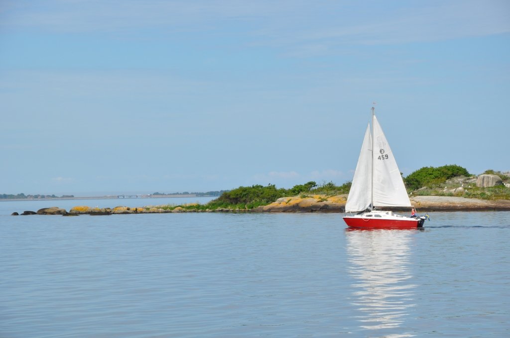
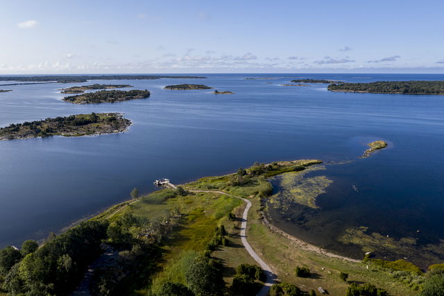
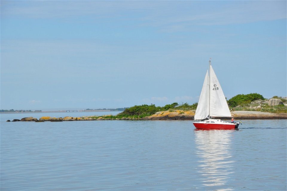
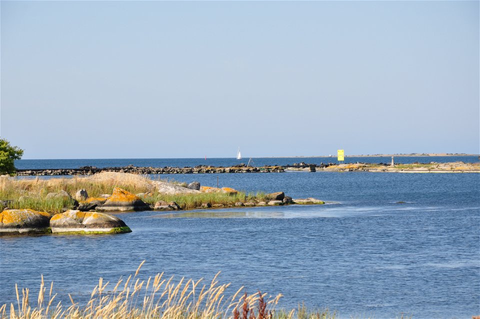
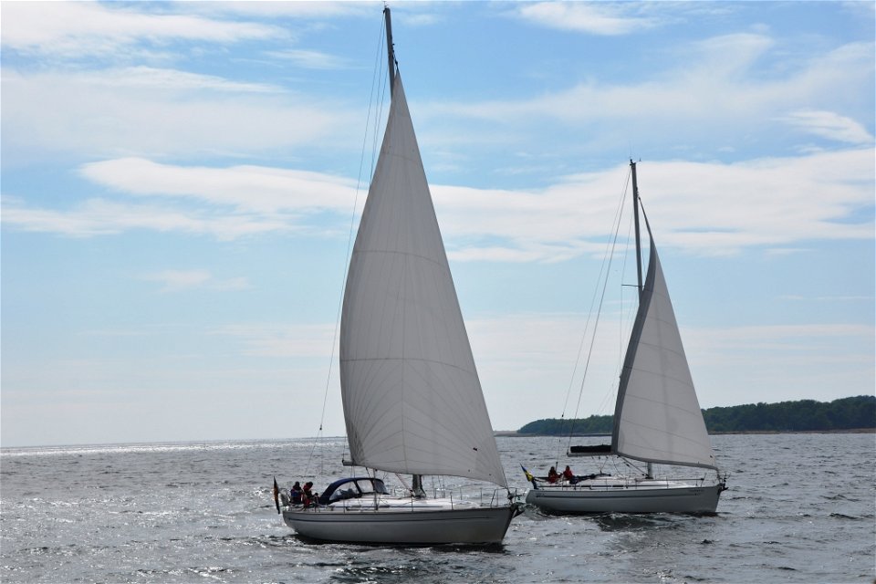
The ARK 56 Sailing trail takes you all the way through the Blekinge archipelago from Sölvesborg to Kristianopel. It links together many of the hubs in the Blekinge archipelago and is an easily navigated route with the islands and the land never far away. The main route can be combined with a number of suggested alternative routes, some of which demand more active chart-reading and navigation skills.
Karlshamn – Ronneby
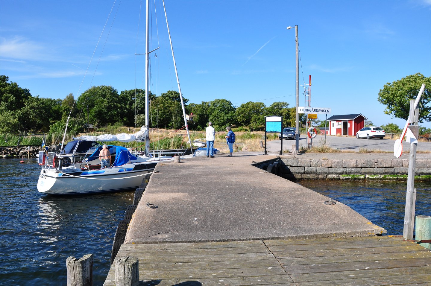
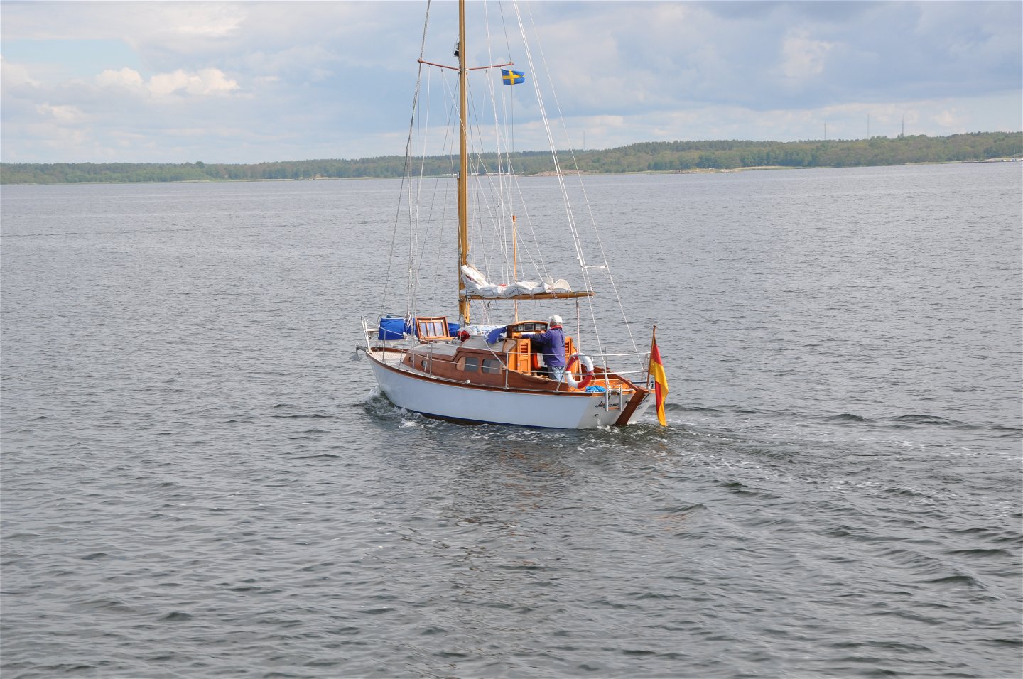
In the west, the trail starts at Väggahamnen in Karlshamn with the island of Tärnö already visible on the horizon. There are moorings in several locations here, food is available and it is an interesting island to explore. The route then continues to Tjärö with its guest harbour, restaurant and a fascinating island just waiting to be discovered. An alternative option is to spend time exploring the Karlshamn archipelago rather than heading straight to Tärnö. After Tjärö, the trail wanders through the inner and outer archipelago to Ronneby. You pass the islands of Saltärna and Stora Ekön with excellent anchorages available before rounding Karön and mooring either at Ekenäs or on Karön itself. Both have a guest harbour and a restaurant in a beautiful archipelago setting. From Ekenäs you can catch a bus or embark on a 5 km walk through Brunnsparken up to Ronneby.
Ronneby – Karlskrona
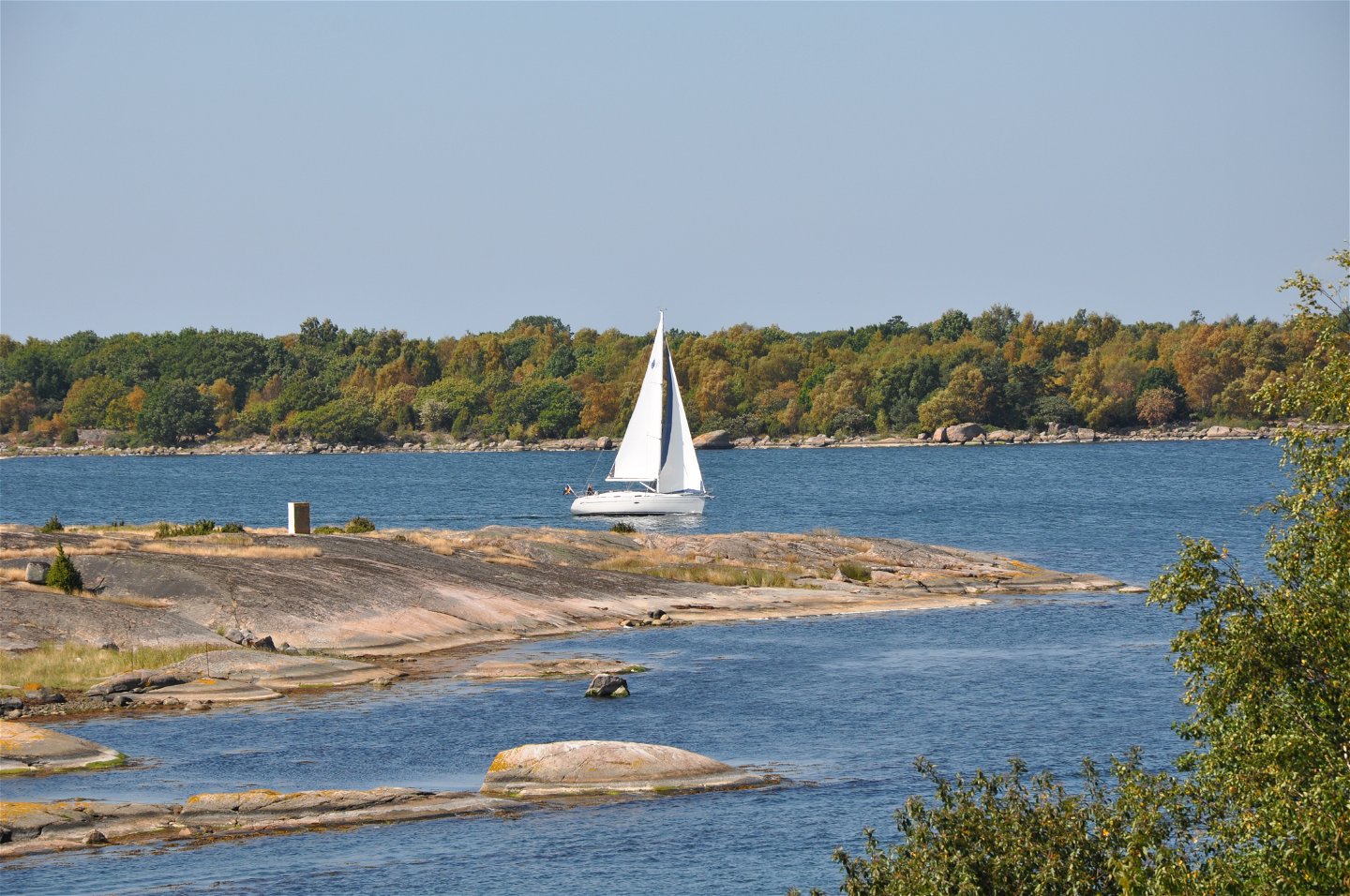
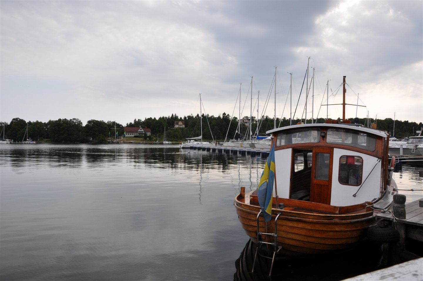
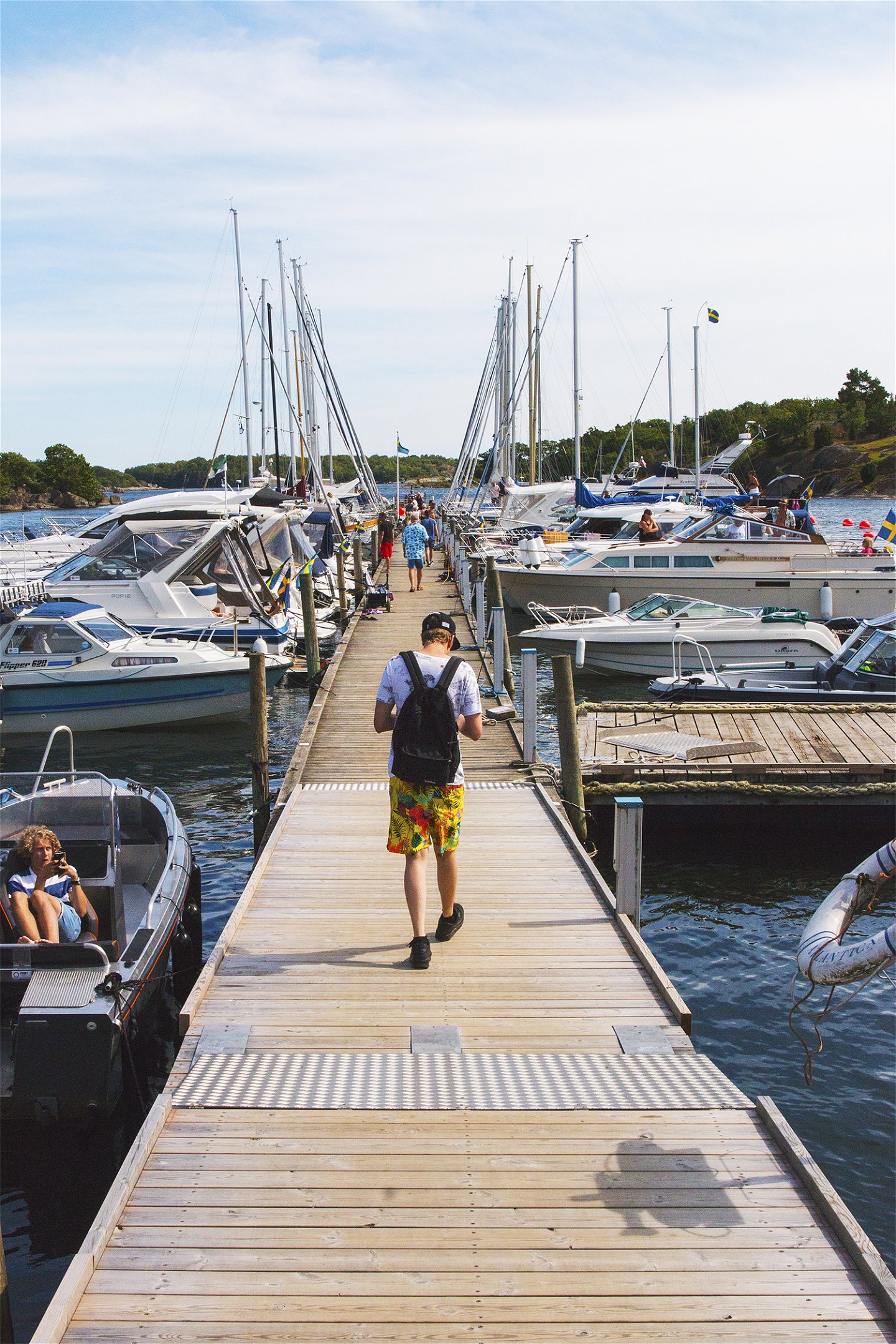
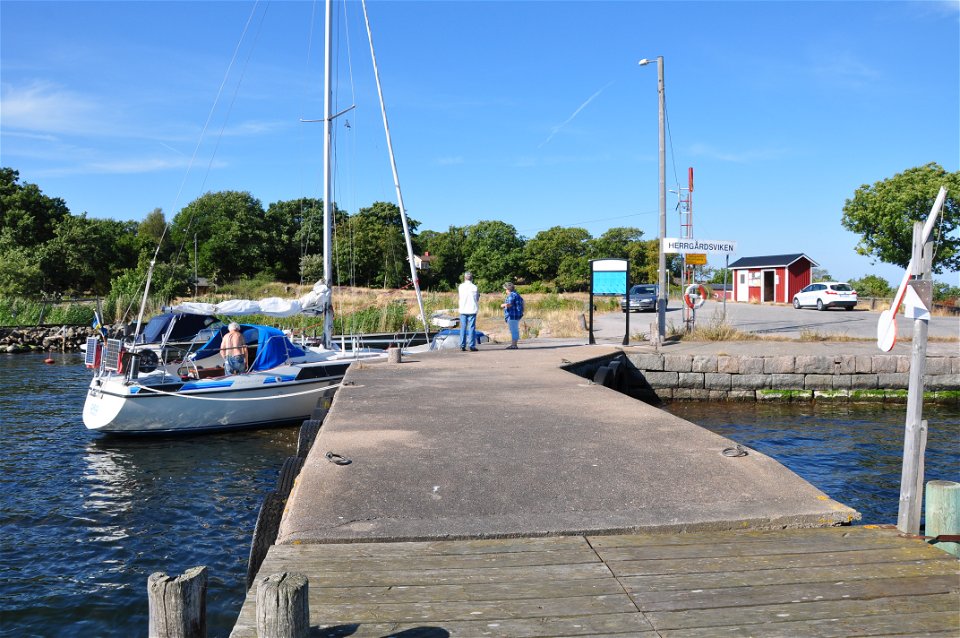
After leaving Ekenäs and Ronnebyfjärden, you will need to round the Gö headland, one of the more challenging parts of the trail. Ahead of you is nothing but open water. As you approach the Listerby archipelago, you can choose to head to the inner archipelago and the island of Arpö, to make straight for the Hasslö bridge, or to round Hasslö to the south via the harbour at Garpahamnen. The main route goes via the Hasslö bridge, which is a swing bridge. See Sjöfartsverket for more information about bridge opening times (Look up Hasslöbron). The maximum vertical clearance if closed is 4 metres. After the Hasslö bridge the view opens out towards the World Heritage Site, the Naval City of Karlskrona. You will pass the naval port on your way towards the guest harbour in Karlskrona Stadsmarina (city marina). From here the whole island of Trossö, the centre of the city of Karlskrona, is at your feet, ready to explore.
Karlskrona – Kristianopel
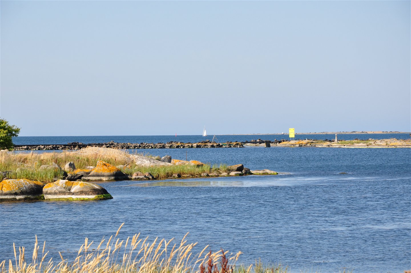
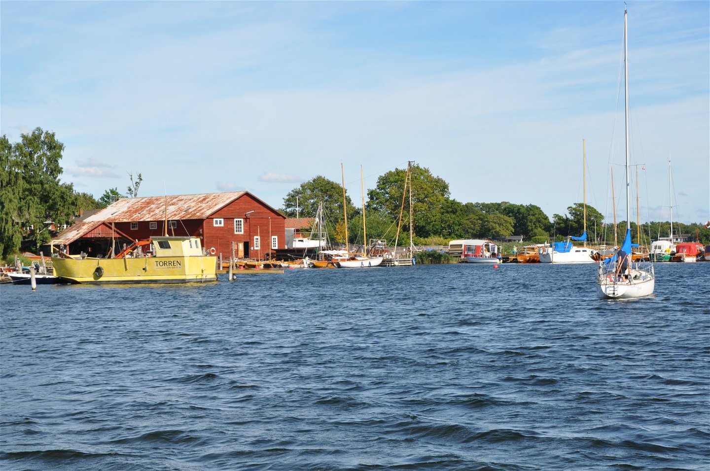
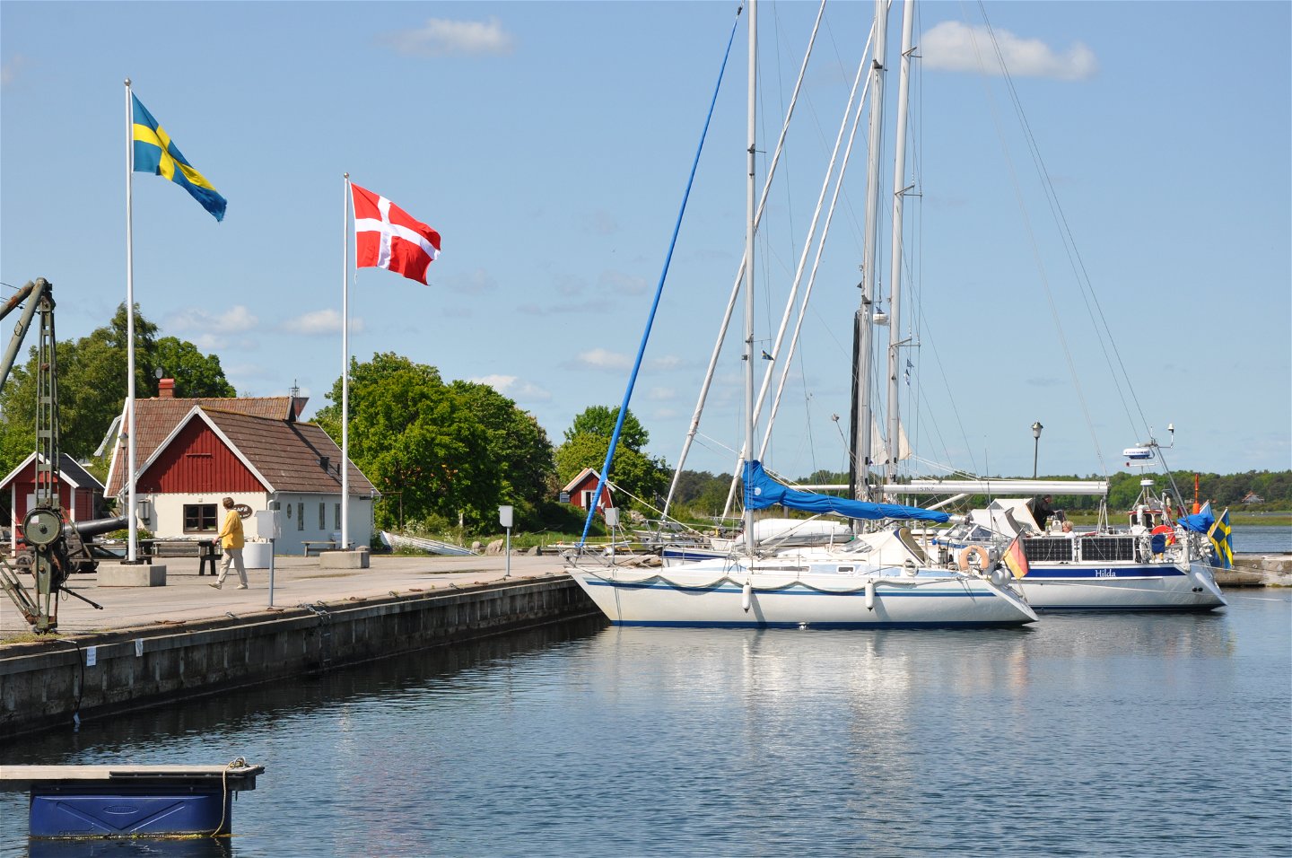
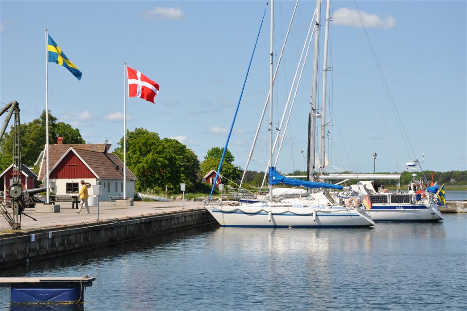
From Karlskrona, the trail continues eastwards via Östra fjärden, the eastern approach to Karlskrona, heading for the Senoren bridge, vertical clearance 18 metres. You are now in the eastern archipelago and the trail continues through the inner islands past Torhamn where you will find a guest harbour and a café. Then round the Torhamn headland with a good margin and turn north. The coast changes character here and the passing landscape flattens out with coastal meadows instead of a rocky shoreline. About level with the southernmost tip of Öland, you reach Kristianopel, founded by Denmark in the early seventeenth century. The city wall and bastions bear witness to the town’s exciting history.
Waterweg
Blekinge Arkipelag
Kurpromenaden 4
372 36 Ronneby
Team ARK56
![]()
Stel een vraag aan andere Naturkartan gebruikers.
Huvudleden i ARK56 segelled tar dig igenom hela Blekinges skärgård från Karlshamn till Kristianopel. Den…

Upptäck Karön – Ronnebys skärgårdspärla Ett stenkast från Ronneby väntar Karön en bilfri ö med…
