
-
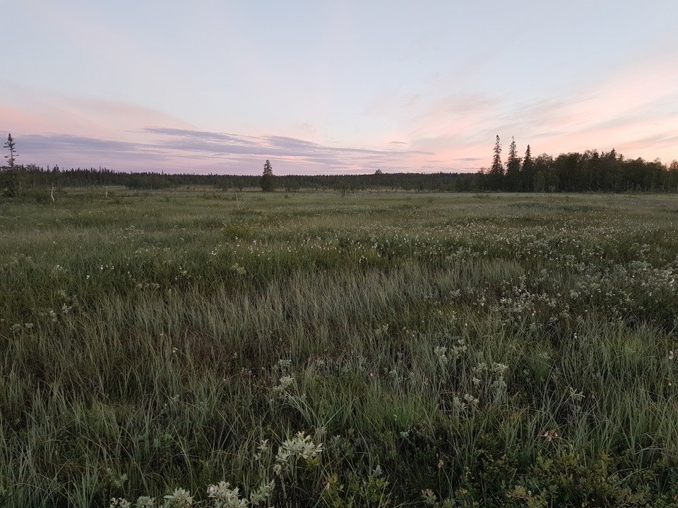
Foto: Länsstyrelsen Västerbotten -
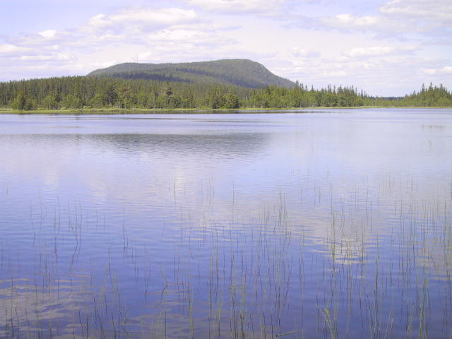
Foto: Peter Näslund -
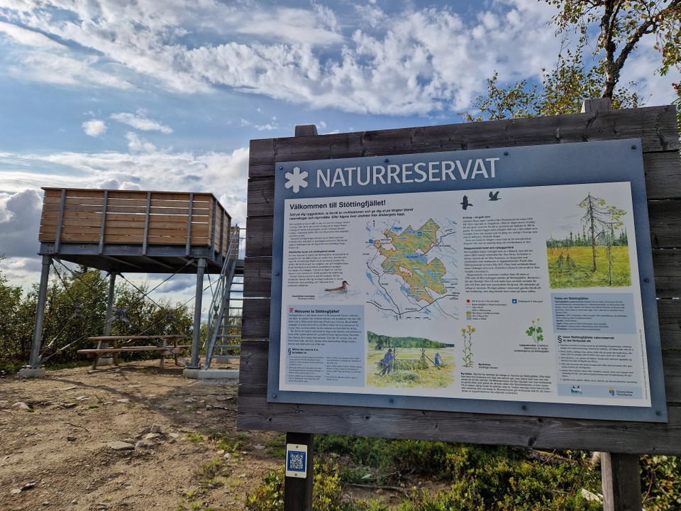
Usiktstornet på Alsberget.
Foto: Lena Lundevaller -
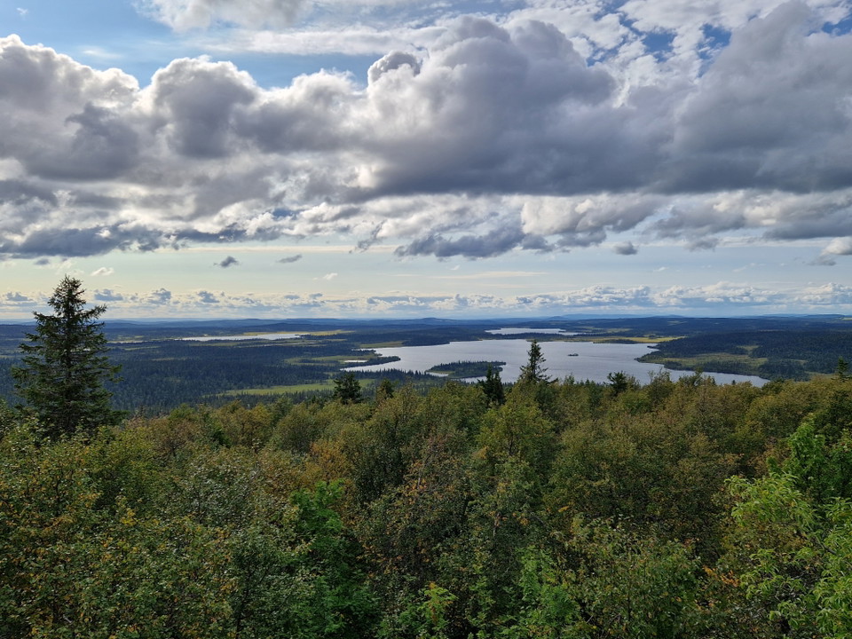
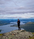
Utsikt från tornet på Alsberget.
Foto: Lena Lundevaller -
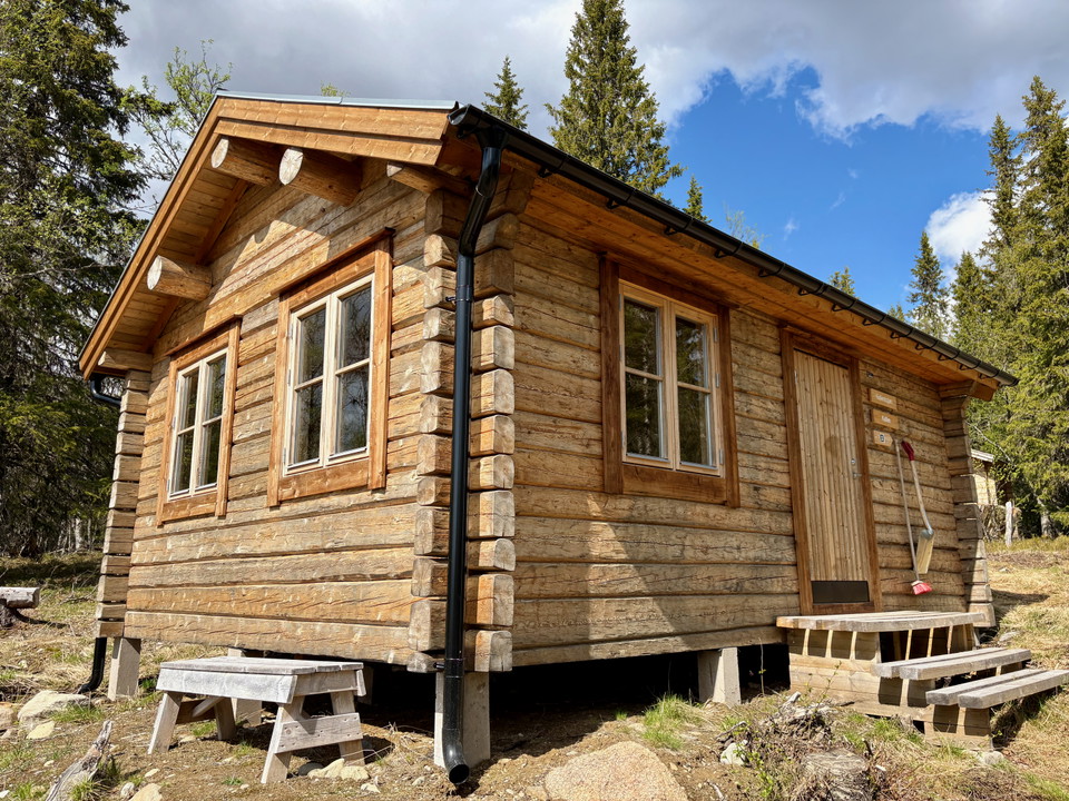
Kullenkojan.
Foto: Emma Johansson -
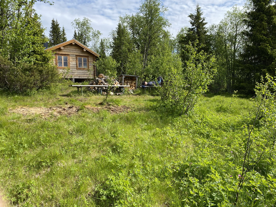
Kullenkojan.
Foto: Johanna Reinoja Cunningham -
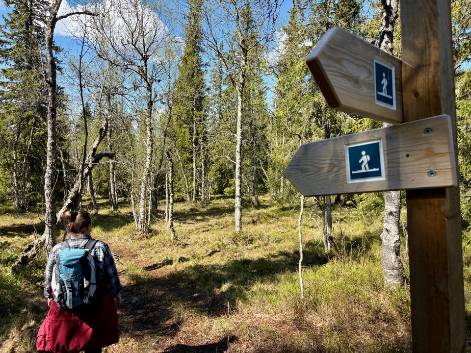
Vandringsleden Alsberget runt.
Foto: Emma Johansson -
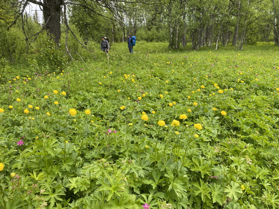
Vandringsleden Alsberget runt.
Foto: Johanna Reinoja Cunningham
Stöttingfjället
- Naturreservat
- Fylke: Västerbottens län
Handlinger
Beskrivelse
Stöttingfjället is exactly what you would expect of Southern Lapland’s interior. Long uphill sections, non-existent downhill sections! But once you reach the top of the hill, the spruce forests and mires open up into an extensive landscape of mountains, spruce slopes and fantastically beautiful villages.
Alsberget
Alsberget rises above the otherwise flat landscape in Stöttingfjället. The peak is above the pine-forest limit, 716 metres above sea level, and the county’s most easterly mountain birch forest grows here. In addition to the tall spruce forest in the south, there is a gently sloping area in the north-east comprising mires, spruce swamp woods and pure virgin spruce forest.
Arasjö and Gransjömyran
Mires and swamp woods are common in Arasjö. On the top plateaus of the three separate forest mountains, the bare rocky ground is dotted with birches and low-growing, thick spruces. Arasjö, with its spruce forest and mire landscape, is a representative part of Stöttingfjället. The bean geese thrive in this enormous undisturbed area of mires and forests. The broad-billed sandpiper and the jack snipe breed on Gransjömyran mire, along with other wetland birds.
Settlement at high altitude
Within Stöttingfjället’s villages, old-fashioned farms climb along the southern slopes. There was less risk of frost there, and the warming sun generally provided energy. Seeds were cultivated here at altitudes of up to 600 metres. Sights in Stöttingfjället include Risträsk village, the school in Pauträsk, Latikberg church, the dam wall in Vinliden and Risträsket, a former seabed meadow.
Aktiviteter og fasiliteter
- Naturreservat
Veibeskrivelse
Stöttingfjället is located in the heart of Västerbotten, between Vilhelmina and Lycksele.
Alsberget is reached most easily from Vinliden, then along Route 959 towards Norrvik. Arasjö and Gransjömyran can be reached from several directions. From Dalasjö, drive eastwards to Gransjöriset and Norrberg. From Kroksjö, it is approximately 15 km westwards to Norrberg.
Kontakt
E-postadresse
Länsstyrelsen Västerbotten
Organisasjonens logotype

Jeg har vært her 16




Jeg ønsker å dra hit 12
Spørsmål og svar
Still et spørsmål til andre brukere av Naturkartan.
Omtaler
0 anmeldelser
- 5 :
- 4 :
- 3 :
- 2 :
- 1 :
Brukernes bilder
Ingen brukerbilder ennå. Bli den første til å dele!
