
-
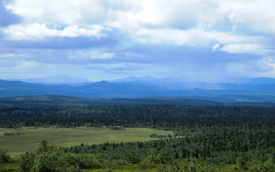
Foto: Kristina Banstorp -
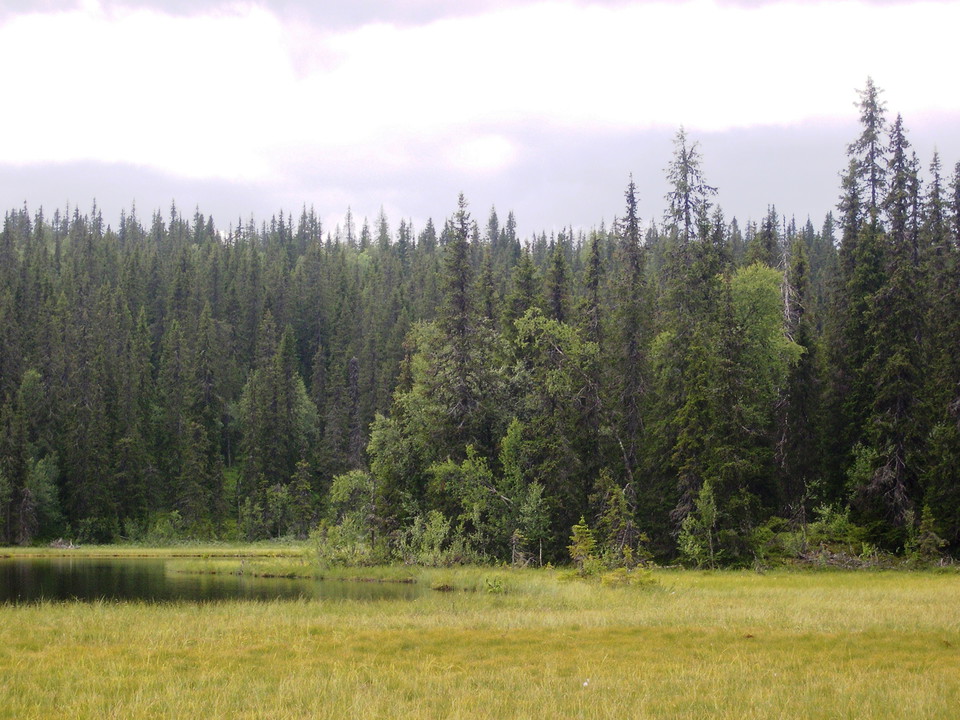
Foto: Per-Anders Blomqvist -
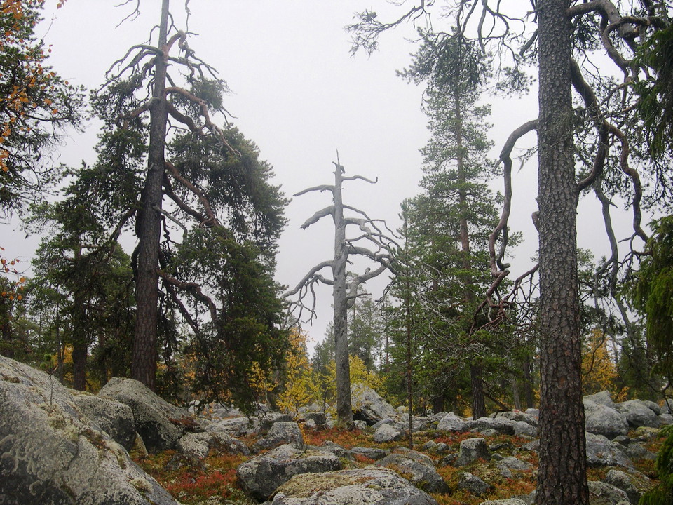
Foto: Per-Anders Blomqvist -
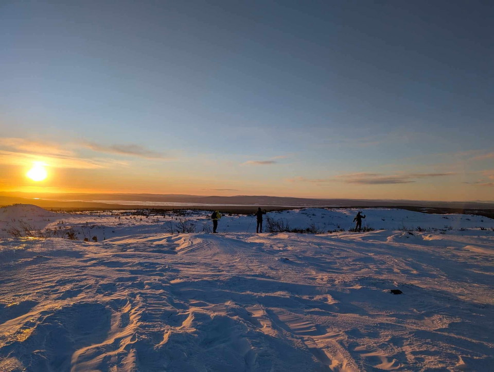
Foto: Erik Nordin -
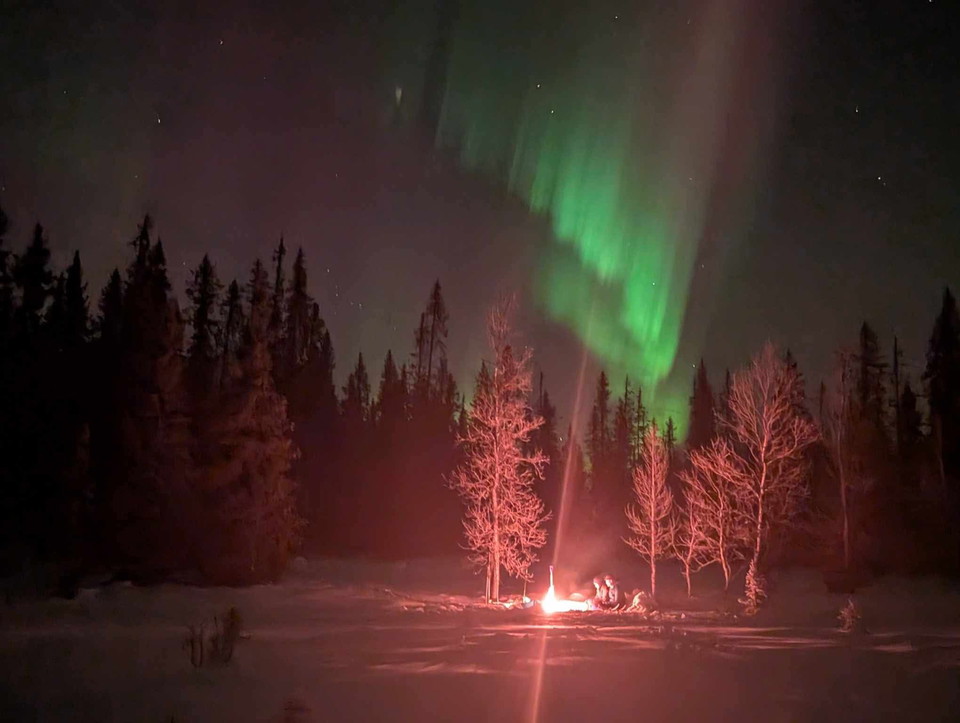
Foto: Erik Nordin
Blaiken
- Naturreservat
- Fylke: Västerbottens län
Handlinger
Beskrivelse
The area is over 23,000 hectares in size and extends over three miles east from the edge of the mountain range. From the highest part of the reserve, the low mountain Lillblaiken, the view is miles wide in all directions. Real troll forests grow on the slopes of the mountains. Where the terrain levels out, there are many bogs with cloudberries and other berries.
In this beautiful natural landscape you can hike for days and perhaps fish at one of the many small lakes in the area. In winter, it is easy to get into the area via one of the snowmobile trails.
Aktiviteter og fasiliteter
- Naturreservat
Veibeskrivelse
Several roads connect to the reserve. There are also snowmobile trails and paths leading into the area. You reach the main entrance via a forest road that connects to the E12 in Laisbäck.
Kontakt
E-postadresse
Länsstyrelsen Västerbotten
Organisasjonens logotype

Jeg har vært her 7


Jeg ønsker å dra hit 2
Spørsmål og svar
Still et spørsmål til andre brukere av Naturkartan.
Omtaler
0 anmeldelser
- 5 :
- 4 :
- 3 :
- 2 :
- 1 :
Brukernes bilder
Ingen brukerbilder ennå. Bli den første til å dele!
