Led Öjenäsbäcken
Fotturer
- Fylke: Värmlands län
- 6731.95 km fra deg
Detaljer om stien
- Lengde 4.2 km
- Vanskelighetsgrad Rød - krevende
Handlinger
Beskrivelse
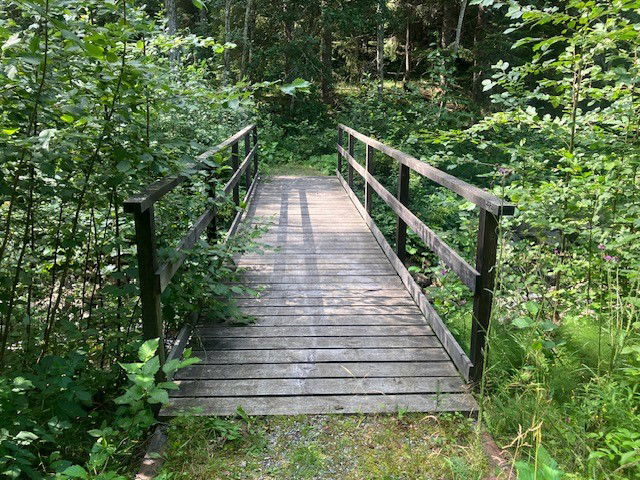
On the east side of the creek, the trail goes along an old carriage way (gravel surface) and is a fairly easy walk.
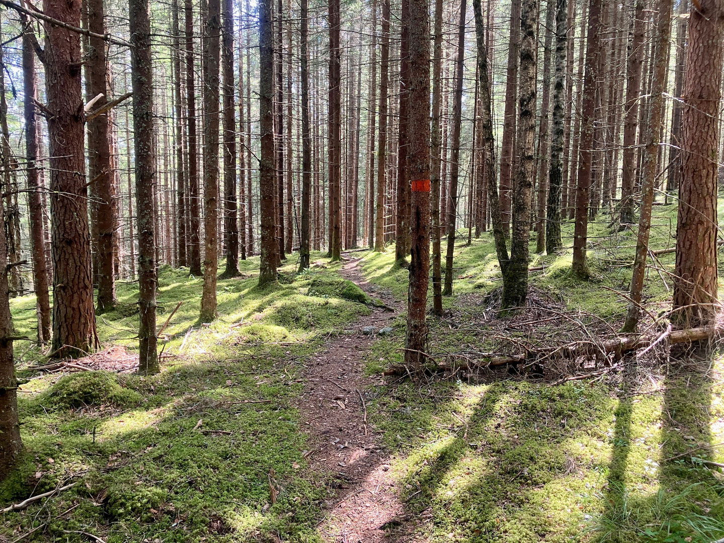
On the west side the trail follows a path through pine forest, which is more demanding as the terrain is hilly, winding and slopes down towards the creek.
The trail is marked with orange colour on trees.
Aktiviteter og fasiliteter
-
Fotturer
-
Sirkulær slynge
Kontakt
E-postadresse
Maila Länsstyrelsen Värmland
Logotype for organisasjonen

Spørsmål og svar
Still et spørsmål til andre brukere av Naturkartan.


